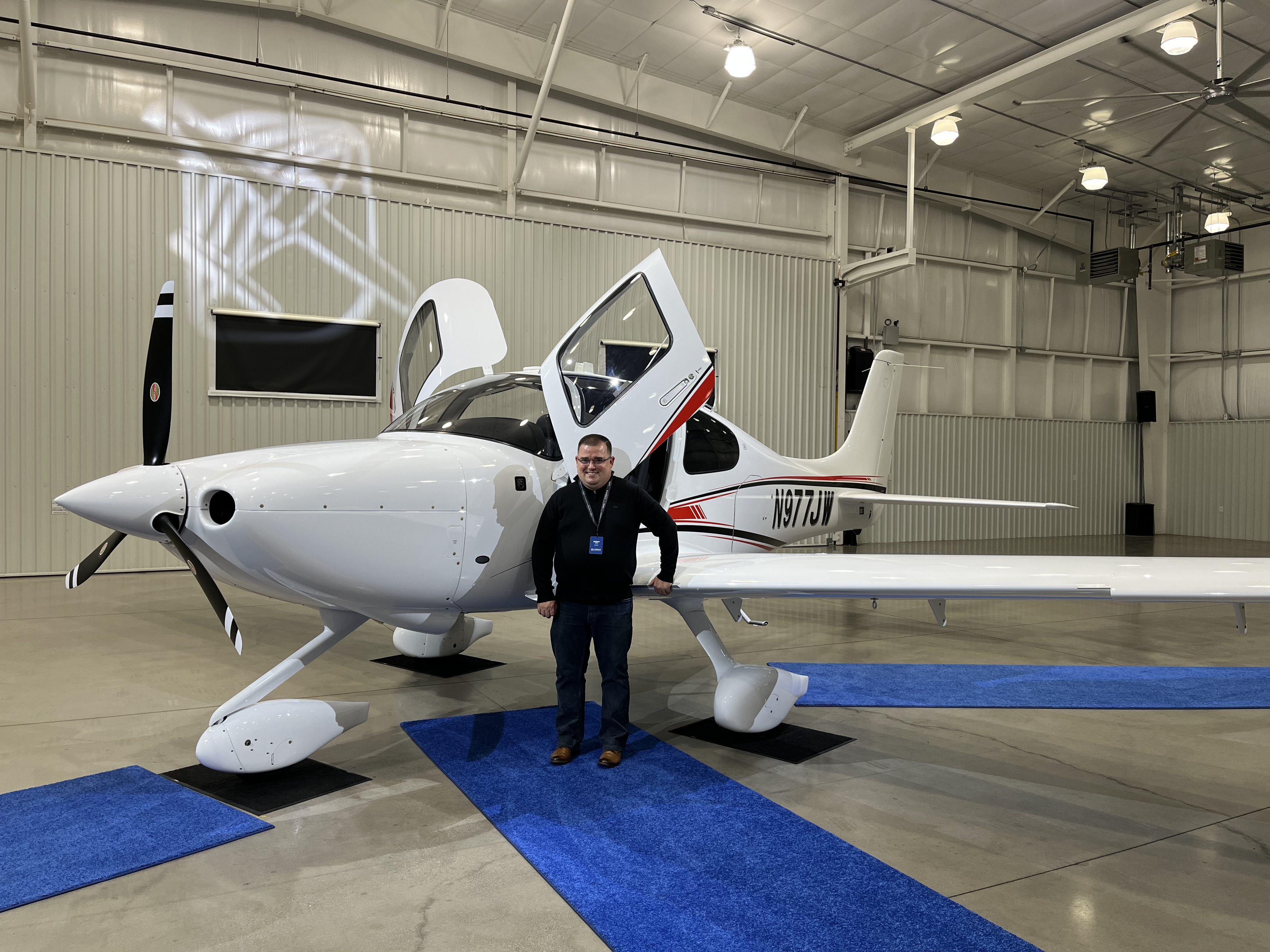
Cirrus SR20 Delivery (May 2022)
Trip back to Palo Alto Airport (KPAO) - Proposed
Trip back to Napa County Airport (KAPC) - Actual
Diary
2022-05-16: KTYS to KTYS (Training)
The maiden voyage in N977JW consisted of one lap in the pattern at KTYS with Ryan Klapmeier (Cirrus Aircraft). Spent some time in the runup area reviewing the avionics differences between Garmin Perspective and Garmin Perspective+.
- Departure: KTYS (Knoxville, TN), field elevation: 987'
- Arrival: KTYS (Knoxville, TN), field elevation: 987'
- Hobbs Time: 0.8 hours
- Highest Flight Altitude: 3,500'
- Date/Time: 2022-05-16, 2:44PM to 2:59PM (EDT)
- Instructor: Ryan Klapmeier
2022-05-16: KTYS to KDKX to KTYS (Training)
Departed KTYS at around 4:03pm to the Knoxville Downtown Island airport to practice landings. Practiced 8x normal landings and 1x short field takeoff.
- Departure: KTYS (Knoxville, TN), field elevation: 987'
- Destination: KDKX (Knoxville, TN), field elevation: 833'
- Arrival: KTYS (Knoxville, TN), field elevation: 987'
- Hobbs Time: 1.5 hours
- Highest Flight Altitude: 3,000'
- Date/Time: 2022-05-16, 4:03PM to 5:06PM (EDT)
- Instructor: Tom Rege
- Fuel: $6.56 per gallon @ KTYS
2022-05-17: KTYS to KGVL to KPDK (Training)
Departed KTYS with VFR flight following around 10:06am to Atlanta, GA. Once we made it over the Smoky Mountains, we requested to perform maneuvers in the area of Gainesville, GA. We practiced slow flight, power off stalls, power on stalls, and steep turns. After completing the maneuvers, we requested a practice ILS RWY 05 approach with a procedure turn at KGVL to the published missed approach. After the published miss, we proceeded to KPDK for lunch.
- Departure: KTYS (Knoxville, TN), field elevation: 987'
- Destination: KGVL (Gainesville, GA), field elevation: 1277'
- Arrival: KPDK (Atlanta, GA), field elevation: 998'
- Hobbs Time: 2.4 hours
- Highest Flight Altitude: 8,500'
- Approach: ILS RWY 05 @ KGVL
- Date/Time: 2022-05-17, 10:06AM to 12:01PM (EDT)
- Instructor: Tom Rege
- Fuel: $8.80 per gallon @ KPDK for 27 gallons = $237.60
2022-05-17: KPDK to KRYY to KTYS (Training)
Departed KPDK with VFR flight following around 1:44pm to Knoxville, TN. Shortly after departure we realized one of the oil compartment clasps had popped up, so we diverted to KRYY and flew the ILS RWY 27 approach to a full stop landing. After landing and re-closing the oil compartment, we tested out the hot start instructions provided by another instructor. On departure from KRYY, we climbed to 7500' and continued on our way to KTYS to fly the ILS RWY 05L approach to a full stop landing.
- Departure: KPDK (Atlanta, GA), field elevation: 998'
- Destination: KRYY (Atlanta, GA), field elevation: 1040'
- Arrival: KTYS (Knoxville, TN), field elevation: 987'
- Hobbs Time: 1.8 hours
- Highest Flight Altitude: 7,500'
- Approach: ILS RWY 27 @ KRYY, ILS RWY 05L @ KTYS
- Date/Time: 2022-05-17, 1:44PM to 3:13PM (EDT)
- Instructor: Tom Rege
- Fuel: $6.56 per gallon @ KTYS
2022-05-18: KTYS to KLQK to KGMU (Training)
Departed KTYS with VFR flight following around 10:53am to Pickens, SC to practice landings and maneuvers. Once we made it over the Smoky Mountains, we practiced unusual attitude recovery. Afterwards, we picked up VFR flight following and requested a practice RNAV (GPS) RWY 23 approach to a full stop landing. On approach to landing, we flew it with 50% flaps. Then we practiced no flap landings, and proceeded to Greenville, SC for lunch.
- Departure: KTYS (Knoxville, TN), field elevation: 987'
- Destination: KLQK (Pickens, SC), field elevation: 1013'
- Arrival: KGMU (Greenville, SC), field elevation: 1048'
- Hobbs Time: 2.2 hours
- Highest Flight Altitude: 8,500'
- Approach: RNAV (GPS) RWY 23 @ KLQK, RNAV (GPS) RWY 19 @ KGMU
- Date/Time: 2022-05-18, 10:53AM to 12:36PM (EDT)
- Instructor: Tom Rege

2022-05-18: KGMU to KDZJ to KTYS (Training)
Departed KGMU with VFR flight following around 1:49pm to Blairsville, GA. It was a neat airport in the Smoky Mountains. After the landing, fueled up and headed back to Knoxville, and flew the ILS RWY 23L approach to a full stop landing.
- Departure: KGMU (Greenville, SC), field elevation: 1048'
- Destination: KDZJ (Blairsville, GA), field elevation: 1907'
- Arrival: KTYS (Knoxville, TN), field elevation: 987'
- Hobbs Time: 1.9 hours
- Highest Flight Altitude: 8,500'
- Approach: ILS RWY 23L @ KTYS
- Date/Time: 2022-05-18, 1:49PM to 3:40PM (EDT)
- Instructor: Tom Rege
- Fuel: $6.49 per gallon @ KDZJ for 37.73 gallons = $244.87
2022-05-19: KTYS to KCSV to KTYS (Training)
Departed KTYS on an IFR flight plan around 10:05am to Crossville, TN. Expected route was HCH (Hinch Mountain VOR) to KCSV. At Crossville, we practiced instrument approaches and power off 180 approaches. Flew the VOR-A RWY 26 approach into KCSV to the published missed and hold. Setup for the ILS Y RWY 26 from SALTZ by hand with a procedure turn into KCSV to a full stop landing. After taxiing back to runway 26, instructor first demonstrated a power off 180 approach to landing. Aftwerwards, I flew a power off 180 approach to a landing with a forward slip. We then picked up an IFR clearance back to KTYS with an expected route of GOODL to KTYS. Flew a total of 3x holds and 2.2 hours of actual instrument time.
- Departure: KTYS (Knoxville, TN), field elevation: 987'
- Destination: KCSV (Crossville, TN), field elevation: 1881'
- Arrival: KTYS (Knoxville, TN), field elevation: 987'
- Hobbs Time: 2.4 hours
- Highest Flight Altitude: 7,000'
- Approach: VOR-A RWY 26 @ KCSV, ILS Y RWY 26 @ KCSV
- Date/Time: 2022-05-19, 10:05AM to 12:02PM (EDT)
- Instructor: Tom Rege
- Fuel: $6.56 per gallon @ KTYS
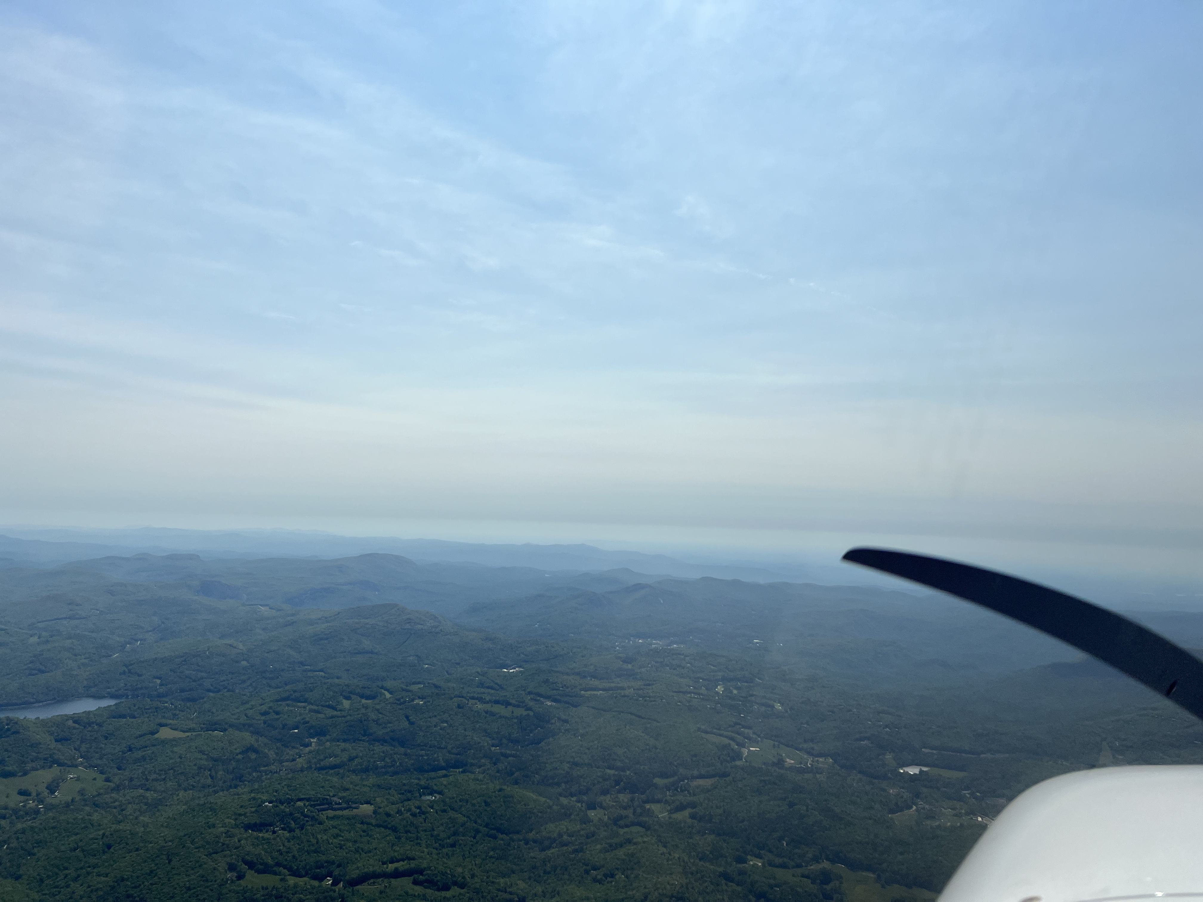
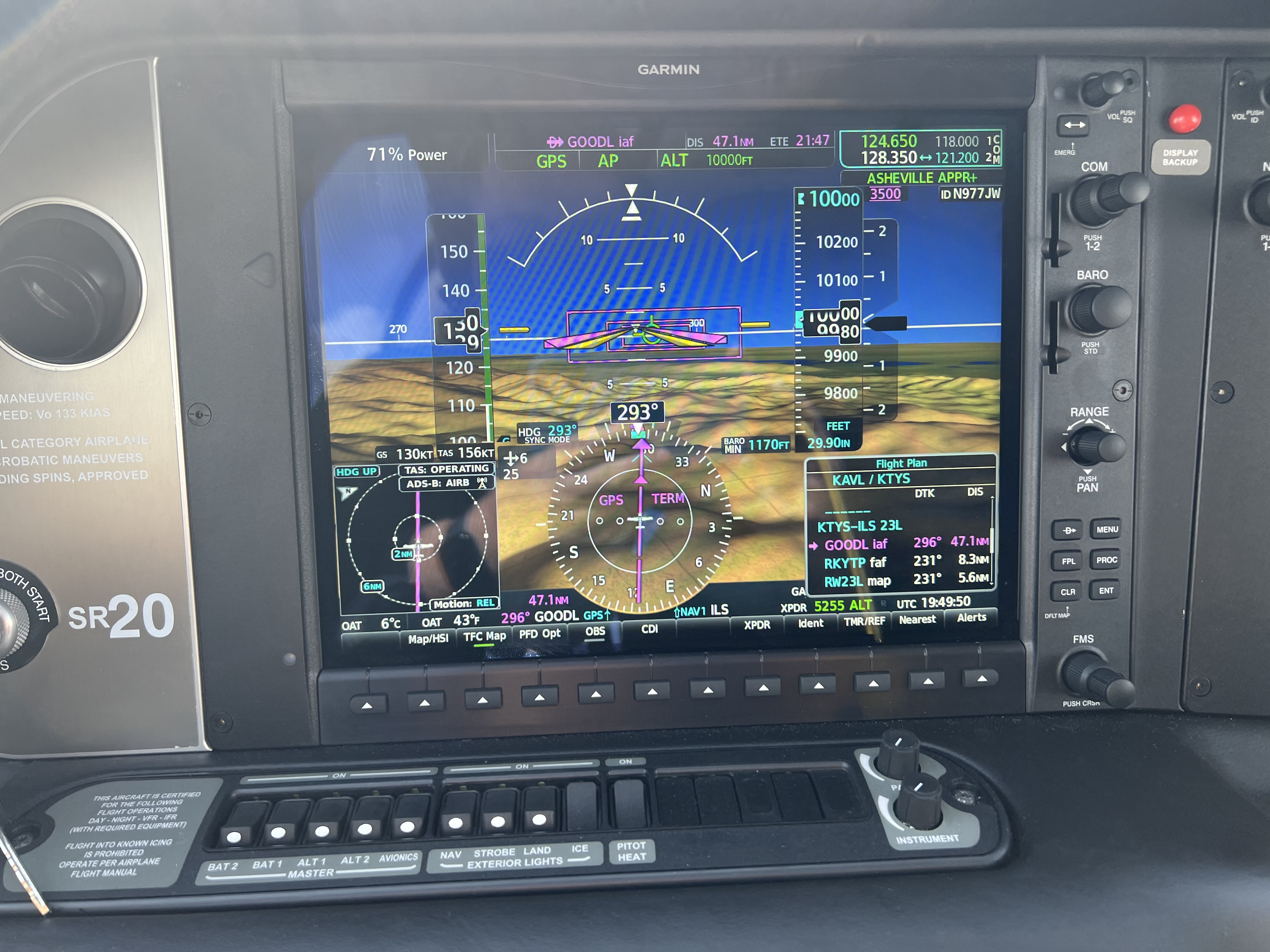
2022-05-19: KTYS to KAVL to KTYS (Training)
Departed KTYS under VMC conditions on an IFR flight plan around 2:25pm to Asheville, NC. Expected route was SOT (Snowbird VOR) to KAVL. Flew the ILS RWY 35 approach into KAVL with a course reversal to the published missed and hold. Climbed to 8000' in the hold. After reaching the hold altitude, picked up an IFR clearance for the flight back to Knoxville, TN @ 8000' with an expected route of GOODL to KTYS. On the way back to KTYS, ATC advised that the Snowbird MOA was active, and they could either route us around or climb us to 10000'. We chose to climb to 10000'. It was my first time at 10000'! Flew the ILS RWY 23L approach into Knoxville to a full stop landing. The Knoxville tower really likes to bring folks down fast on the ILS approaches.
- Departure: KTYS (Knoxville, TN), field elevation: 987'
- Destination: KAVL (Asheville, NC), field elevation: 2164'
- Arrival: KTYS (Knoxville, TN), field elevation: 987'
- Hobbs Time: 2.1 hours
- Highest Flight Altitude: 10,000'
- Approach: ILS RWY 23L @ KTYS, ILS RWY 35 @ KAVL
- Date/Time: 2022-05-19, 2:43PM to 4:16PM (EDT)
- Instructor: Tom Rege
- Fuel: $6.56 per gallon @ KTYS
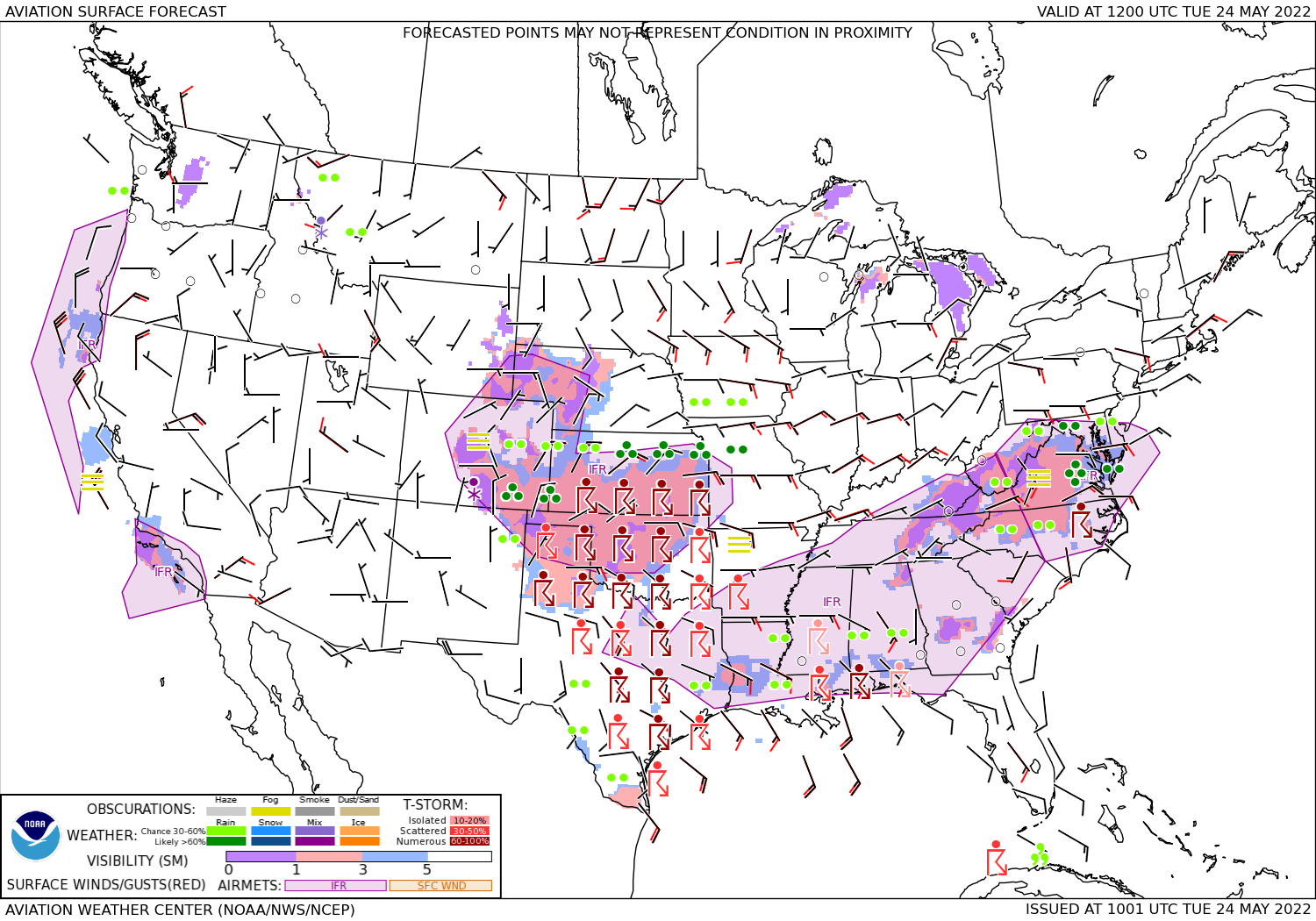
2022-05-20: KTYS to KRDU
Departed KTYS under VMC conditions on an IFR flight plan around 10:15am. Expected route was SOT (Snowbird VOR) to BZM (Hickory VOR) to GSO (Greensboro VOR) to KRDU. Once I arrived in the KRDU terminal area, the Raleigh-Durham Approach was very busy with commercial airliners flying the ILS RWY 23L approach (RWY 23R was closed for construction), so ATC flew me in a right downwind box while he landed three commercial jets. When I was finally turned and cleared for the ILS RWY 23L approach I proceeded to fly the approach to a full stop landing and taxi'd to the Signature FBO ramp. Even with early communications with Signature about the desire for a hangar during my stay in Durham, they were fairly full. Next door, the TAC Air FBO had plenty of space, so I coordinated with them to have N977JW moved to their hangar. It was a good thing I had the plane hangared, because the mother of all convective storms moved through the area producing hail and tornadoes along with a fair amount of wind. I stayed in Durham an extra two days to allow the convective storm to pass through the area. TAC Air FBO charged me $145 per day for 4 days, or $580 to hangar the plane over the weekend.
- Departure: KTYS (Knoxville, TN), field elevation: 987'
- Arrival: KRDU (Durham, NC), field elevation: 435'
- Hobbs Time: 2.4 hours
- Highest Flight Altitude: 10,000'
- Approach: ILS RWY 23L
- Date/Time: 2022-05-20, 10:15AM to 12:13PM (EDT)
- Fuel: $7.09 per gallon @ KRDU for 26.8 gallons = $190.01
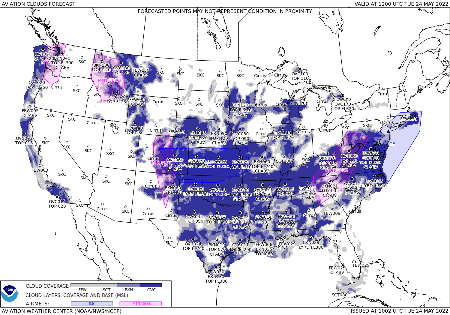
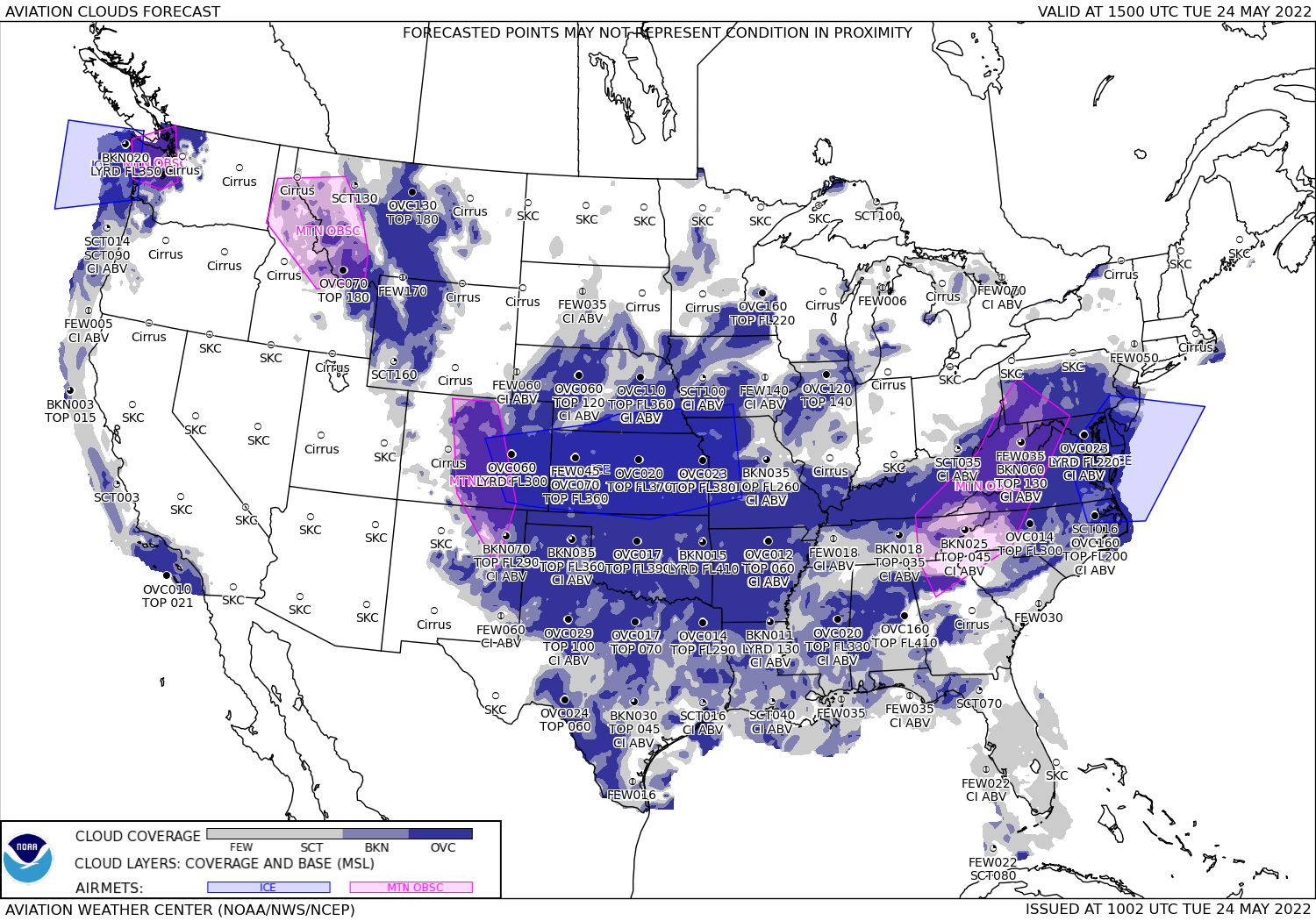
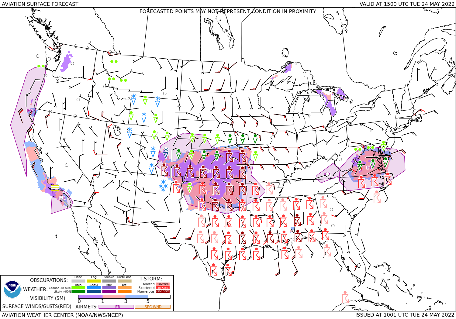
2022-05-24: KRDU to KTYS
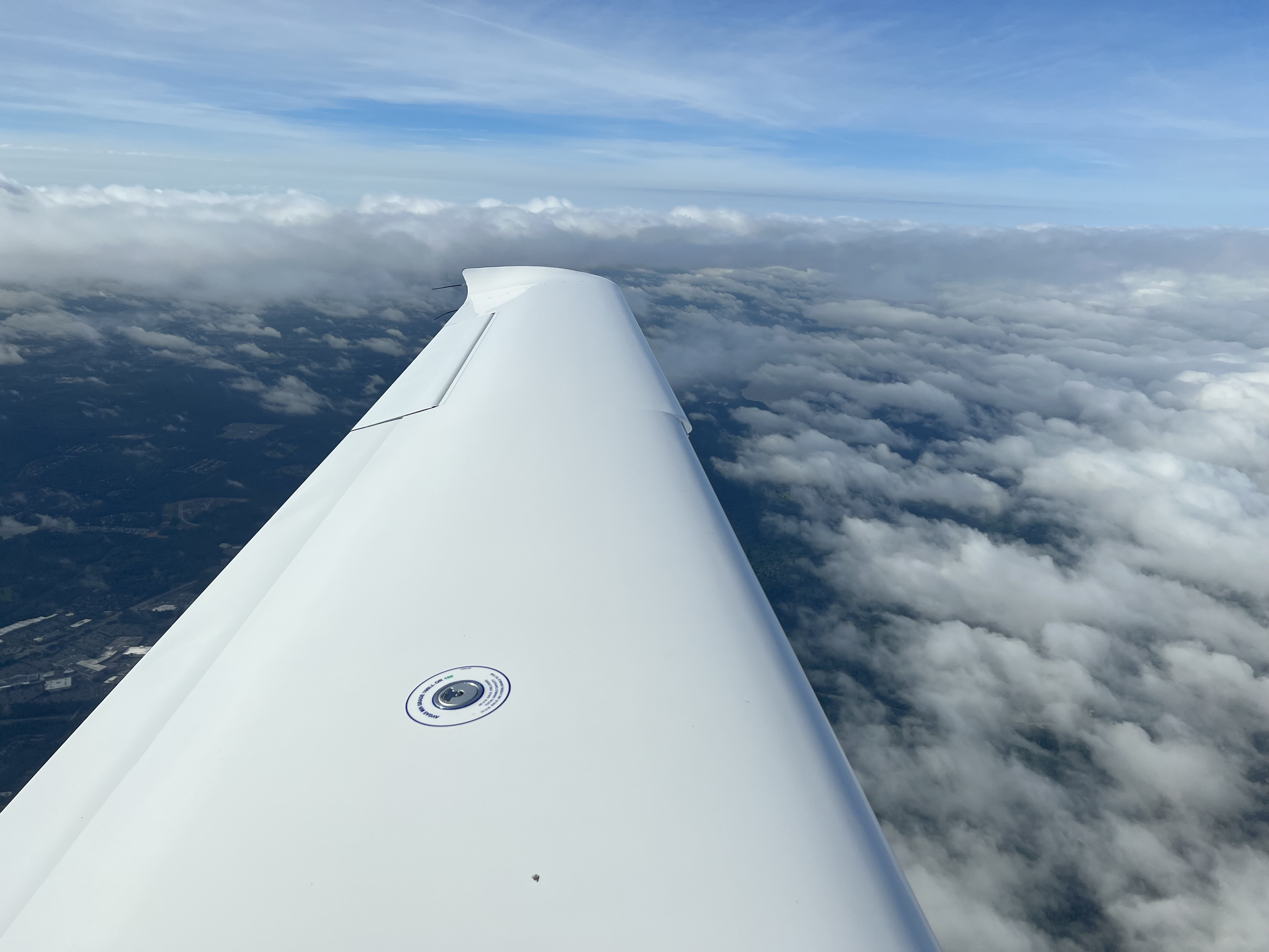
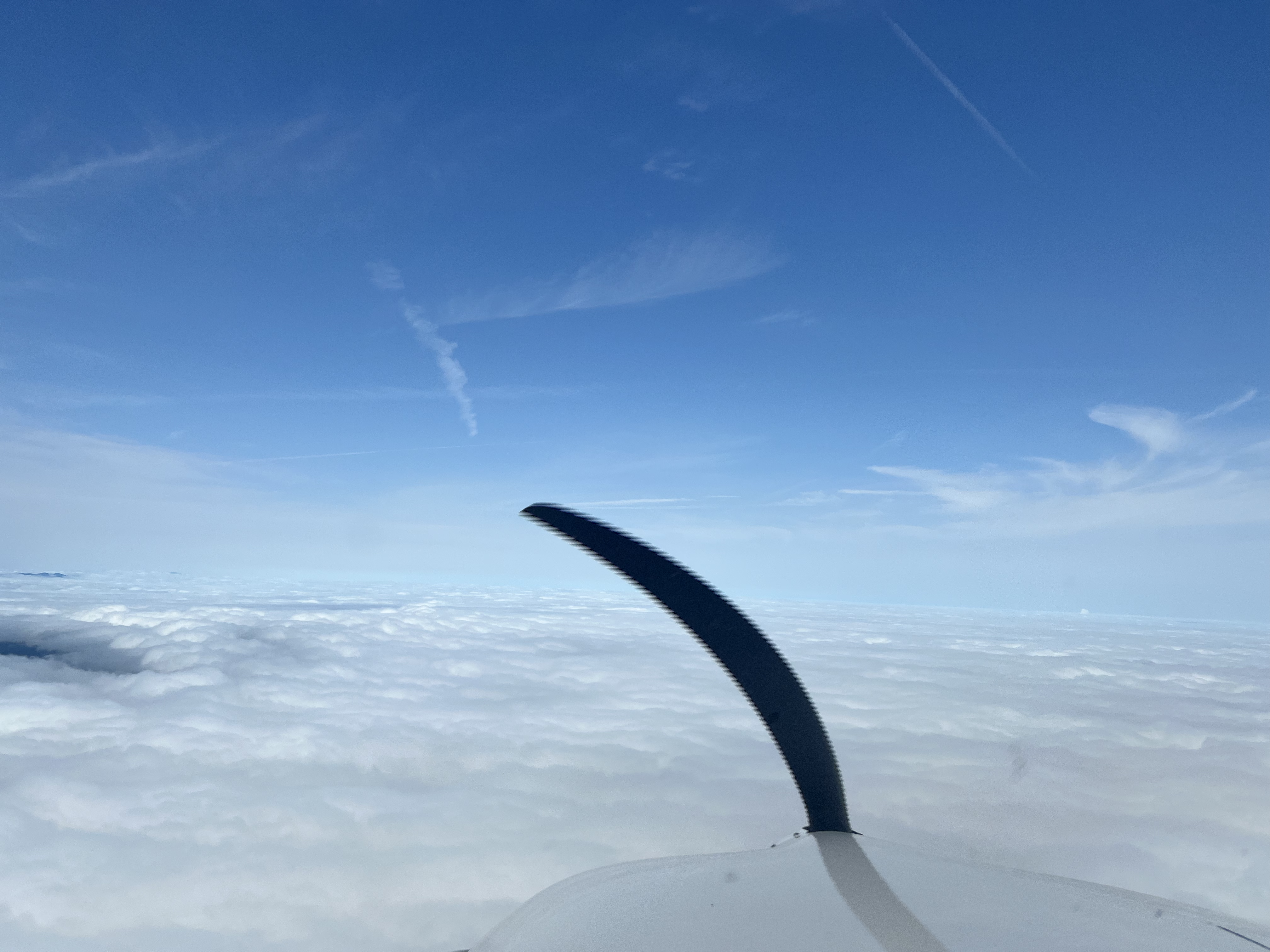
Once the thunderstorms had moved through the area, I was able to safely depart KRDU on an IFR flight plan. The cloud ceiling wasn't too bad. I don't remember the exact numbers, but they were at about 2300' AGL. Shortly before hitting the Greensboro (GSO) VOR, ATC cleared me direct KTYS and to continue my climb to 8000'. As I continued my climb, I ended up well above the cloud deck and on my way to KTYS. Once I got near the Hickory (BZM) VOR, ATC informed me that the Snowbird MOA was hot, and asked me if I either wanted vectors around the MOA or if I wanted to climb to 10000'. I chose to climb to 10000'. Initially I was setup for the ILS RWY 23L approach into KTYS, but the winds shifted and the tower changed to landing runway 05L/R. I reconfigured the avionics for the ILS RWY 05L approach, and requested direct BENFI. Eventually, KTYS was so busy that ATC provided vectors for me to intercept the ILS RWY 05L approach. As I became established on the ILS RWY 05L approach, I entered full IMC conditions until just before minimums, and landed safely. As N977JW had 21.5 flight hours when it landed, the Cirrus Factory Service Center was able to complete the 25 hour service before I continued my journey back to California.
- Departure: KRDU (Durham, NC), field elevation: 435'
- Arrival: KTYS (Knoxville, TN), field elevation: 987'
- Hobbs Time: 2.5 hours
- Highest Flight Altitude: 10,000'
- Approach: ILS RWY 23L
- Date/Time: 2022-05-24, 8:54AM to 10:59AM (EDT)
- Fuel: $6.56 per gallon @ KTYS
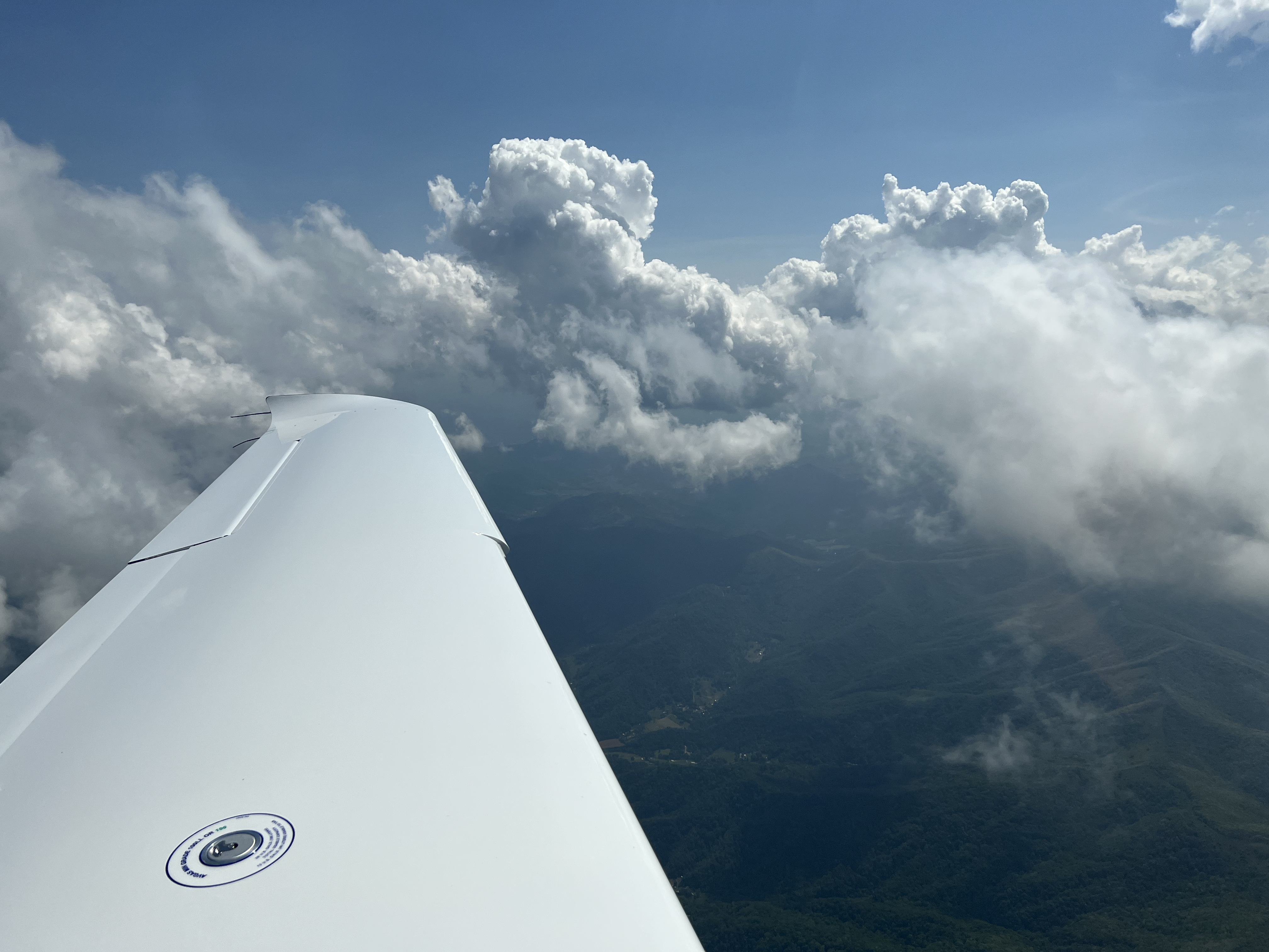
2022-05-27: KTYS to KMEM
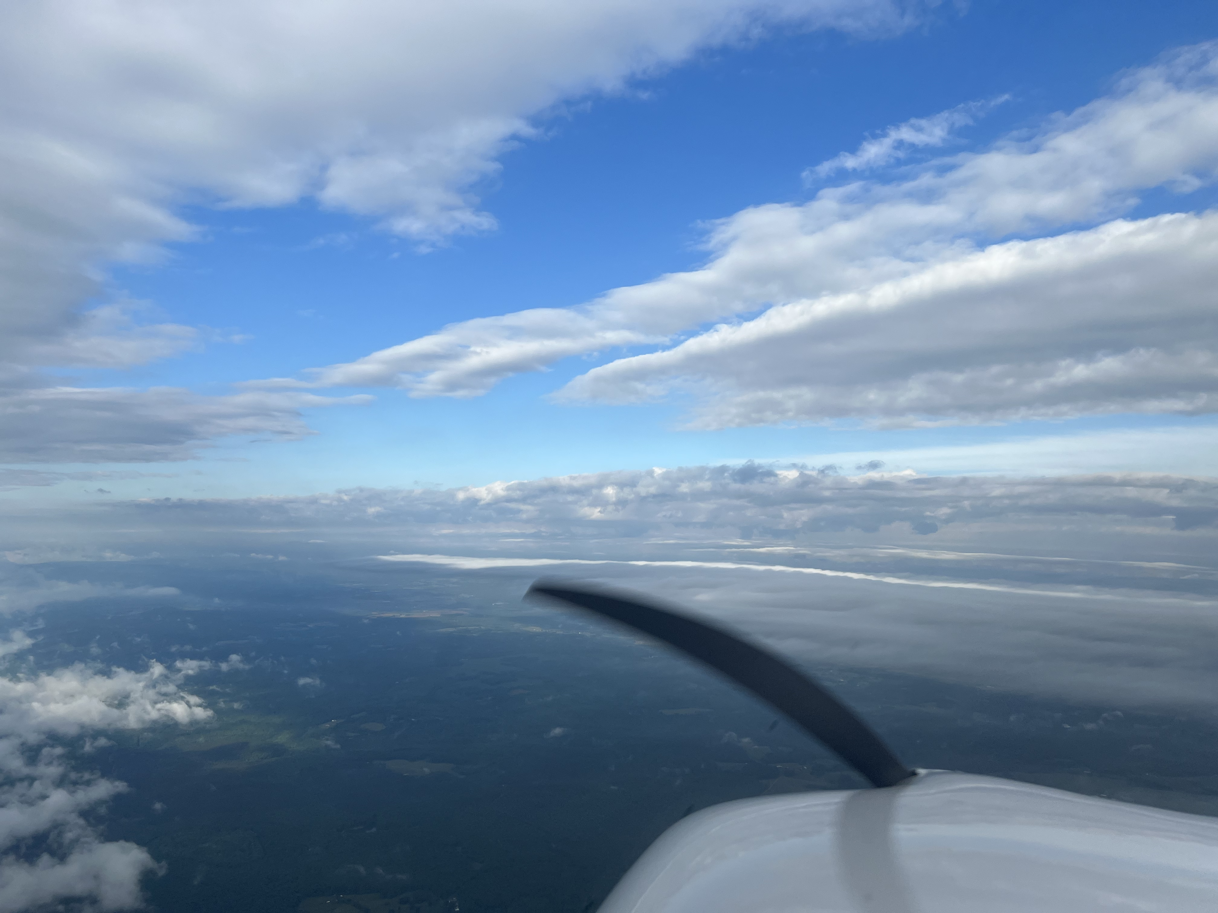
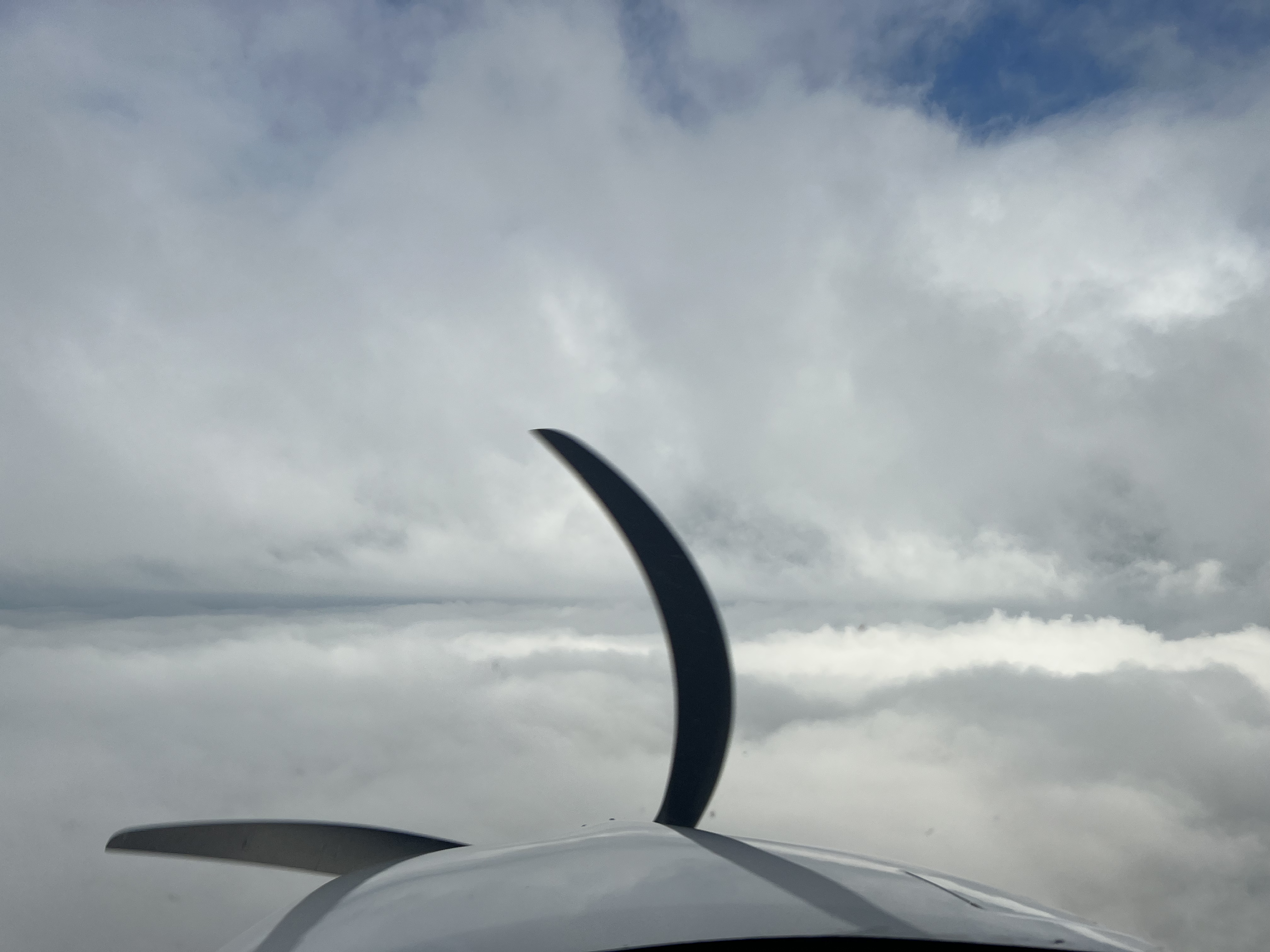
While waiting for the completion of the 25 hour service, a second convective system passed through Tennessee. I waited for two additional days before departing KTYS for KMEM (Memphis, TN). My intent was to depart on an IFR flight plan at 3000', but ATC put me at 6000' which was right at the level of a small cell that was traversing the area. As I entered the layered clouds, ATC informed me of the clouds and asked if I would like higher. I chose to climb to 8000', and then almost immediately asked for clearance to maneuver around the darker clouds. ATC cleared me to maneuver and to report when back on course to KMEM. After what felt like forever (actually about 20 minutes) in rain and clouds, I made it through clouds to blue sky and a solid cloud deck below me around 3000' to 4000'. Upon reaching the blue skies, I requested 6000' and flew at that altitude until ATC cleared me for the RNAV (GPS) RWY 27 approach. As I descended for landing, I was in IMC below 4000' until just above minimums and landed uneventfully. Memphis International is a big airport, or at least it was big to me. Fortunately, landing on runway 27 set me up nicely for a taxi to the Signature FBO.
- Departure: KTYS (Knoxville, TN), field elevation: 987'
- Arrival: KMEM (Memphis, TN), field elevation: 341'
- Hobbs Time: 3.0 hours
- Highest Flight Altitude: 8,000'
- Approach: RNAV (GPS) RWY 27
- Date/Time: 2022-05-27, 8:05AM (EDT) to 9:26AM (CDT)
- Fuel: $6.791 per gallon @ KMEM for 33.1 gallons = $233.75

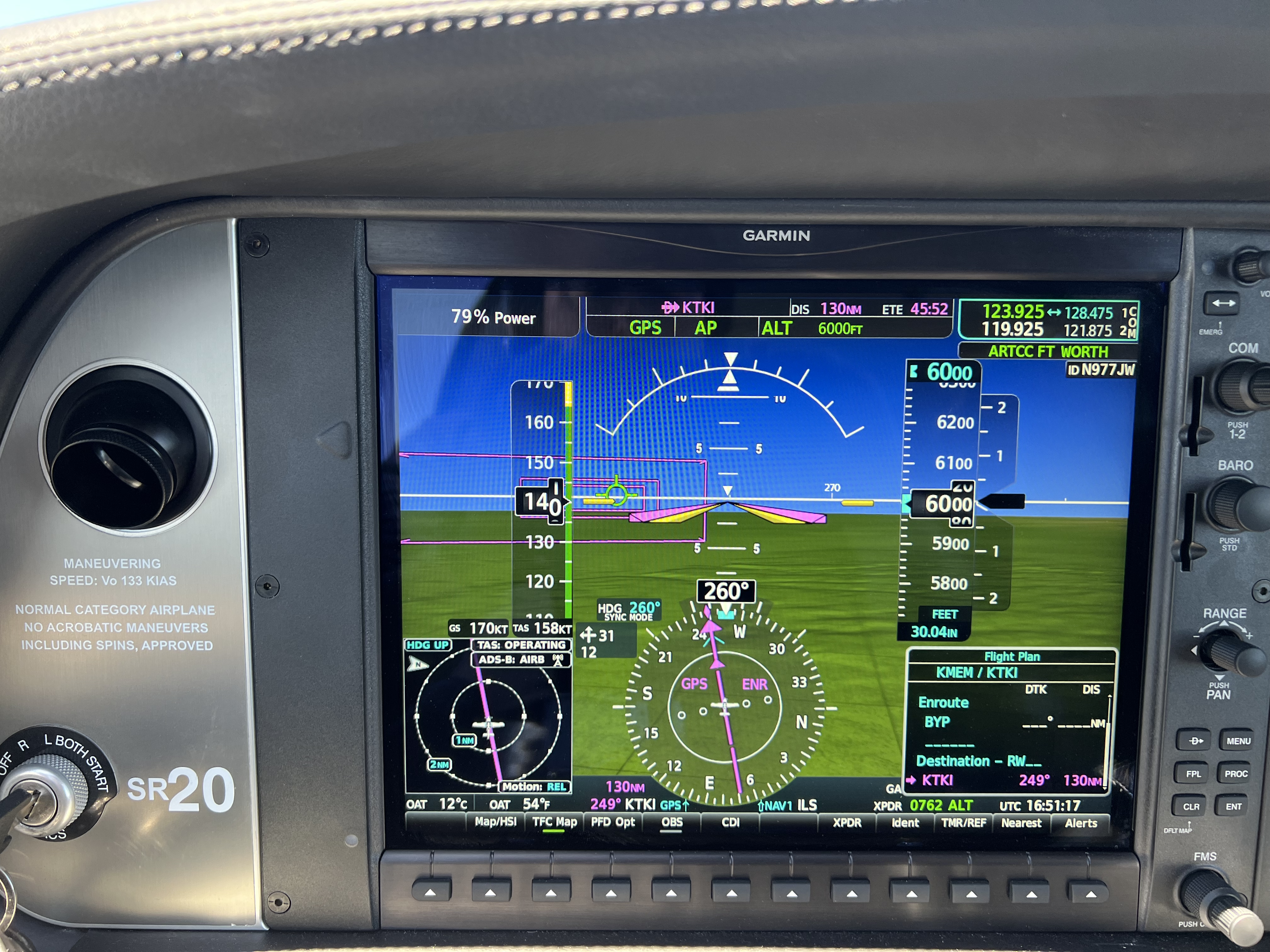
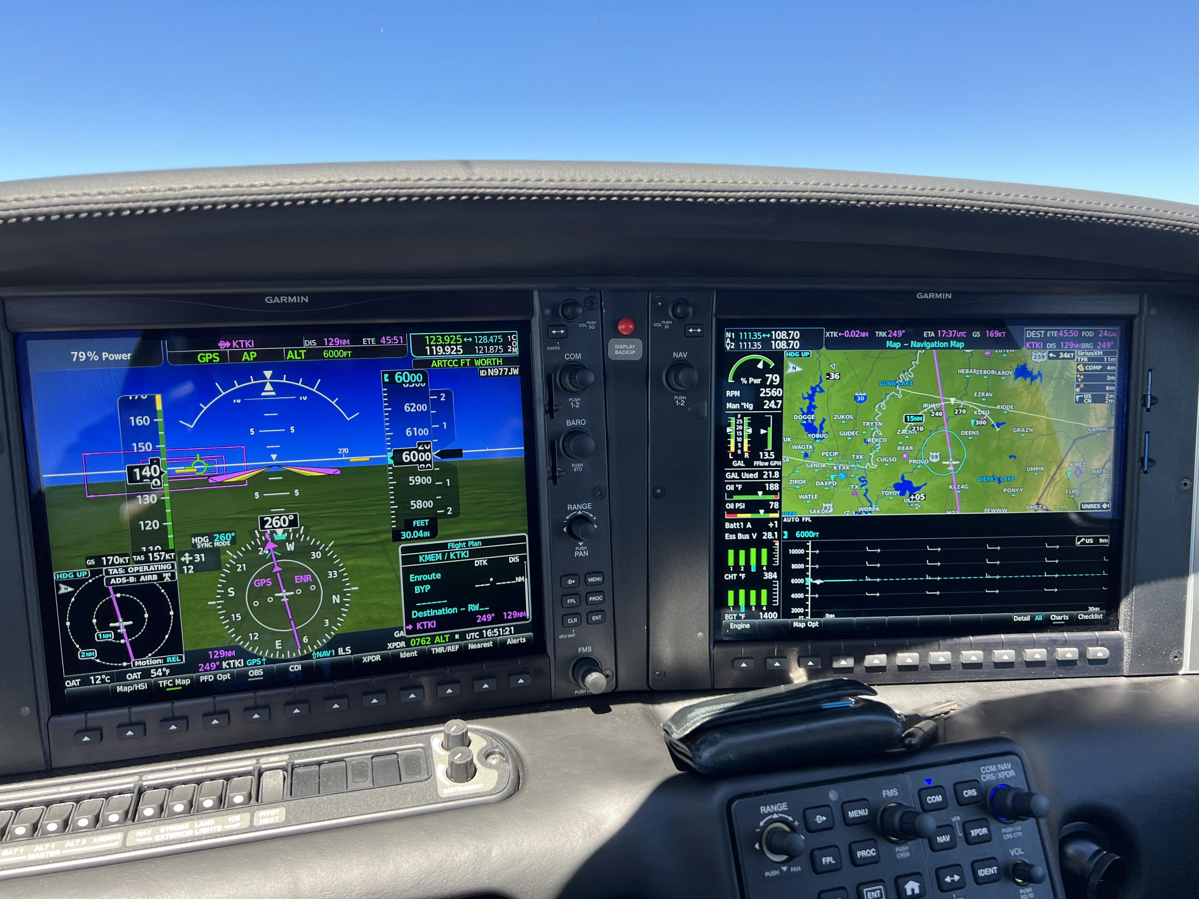
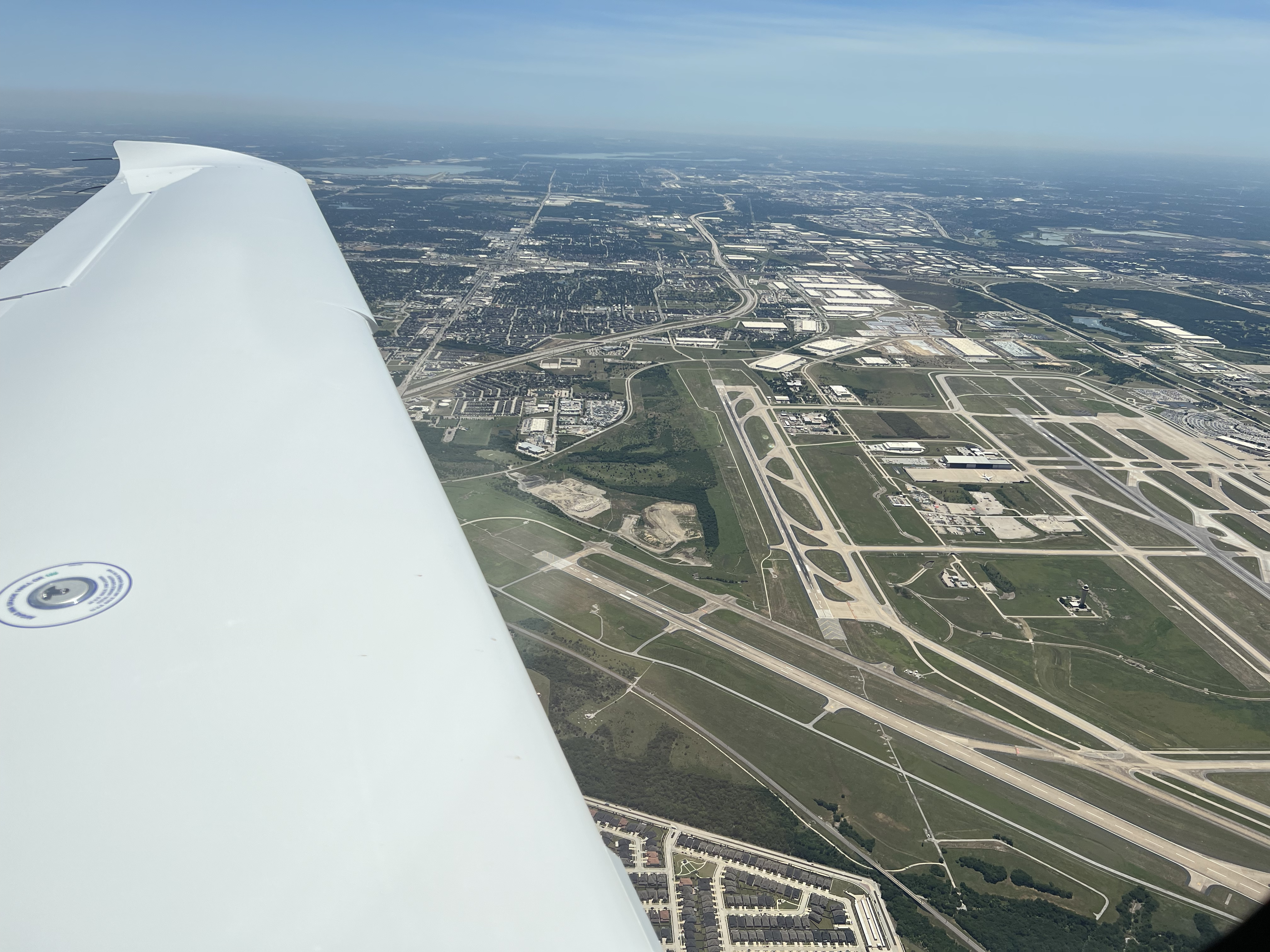
2022-05-27: KMEM to KTKI
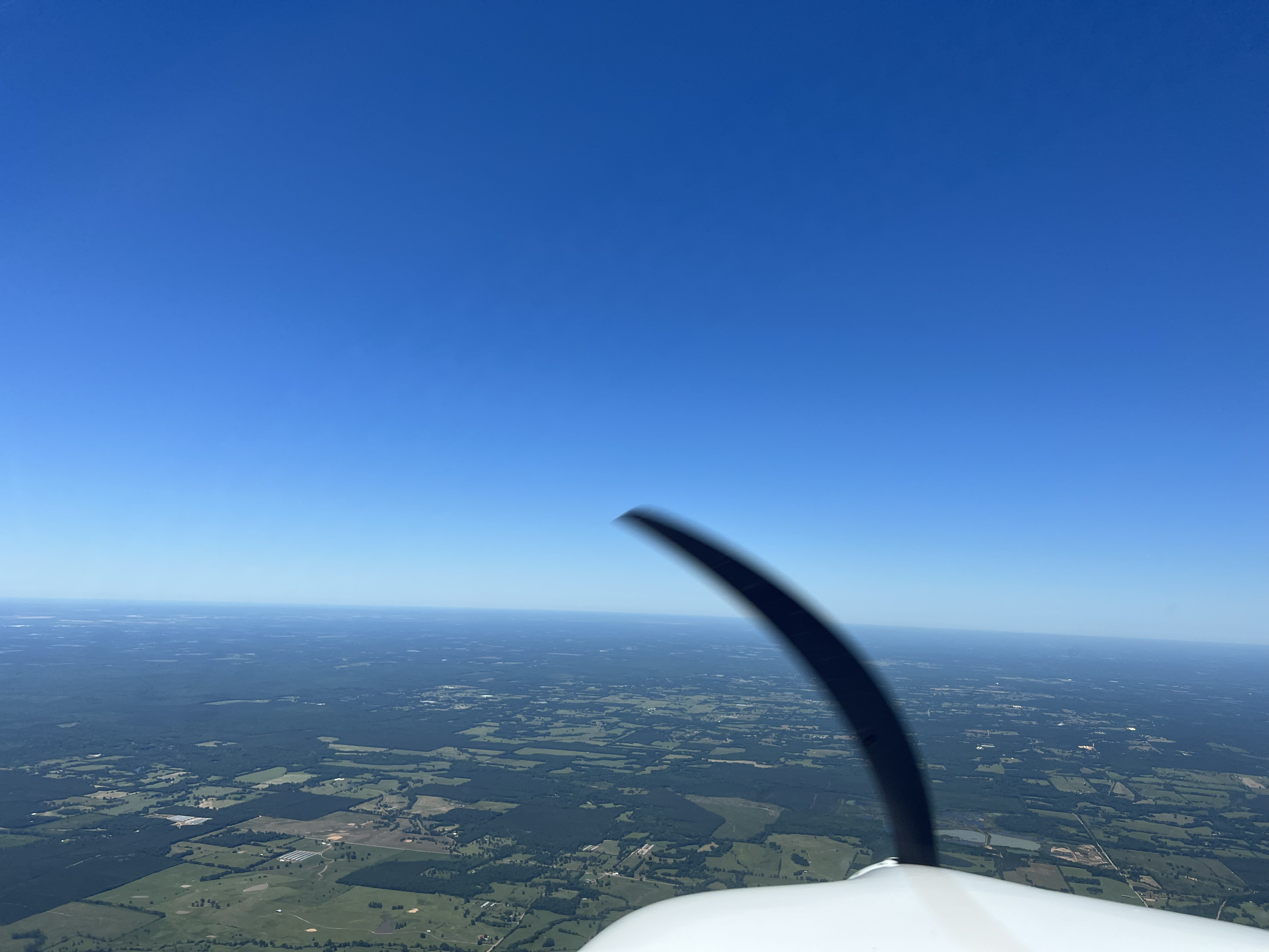
The trip from KMEM to KTKI started with a long taxi to runway 36 center (36C) at taxiway echo for a midfield departure on the 11,120' long runway. The flight to KTKI was executed on an IFR flight plan at 6000'. As I climbed to my enroute altitude, I had to pass through the IMC cloud deck between about 2000' and 4000'. Once I was out of western Tennessee, there were no more clouds to contend with on my trip. After about an hour of flight once I was at 6000', I requested to descend to 4000' and ATC granted my request first down to 5000' and then to my final requested altitude of 4000'. However, it was quite turbulent and after about 15 minutes, I requested to climb back to 6000' where it was a much smoother ride. Once I approached KTKI, ATC handed me off to the KTKI tower where I flew the visual to runway 18. For some reason ATC stepped me from 6000' to 4000', and then down to 3000' before handing me off to the KTKI tower, which made for a rather steep descent. In hindsight, I should have been more proactive and asked for stepdowns to a more appropriate altitude for a landing at an airport with a field elevation of 589' and a traffic pattern altitude of 1589'. When I landed at KTKI, I taxi'd to McKinney Air Center for fuel. It was really hot in McKinney, Texas. Way hotter than Memphis, Tennessee.
- Departure: KMEM (Memphis, TN), field elevation: 341'
- Arrival: KTKI (McKinney, TX), field elevation: 589'
- Hobbs Time: 2.7 hours
- Highest Flight Altitude: 6,000'
- Approach: Visual RWY 18
- Date/Time: 2022-05-27, 10:21AM to 12:39PM (CDT)
- Fuel: $243.35 @ KTKI
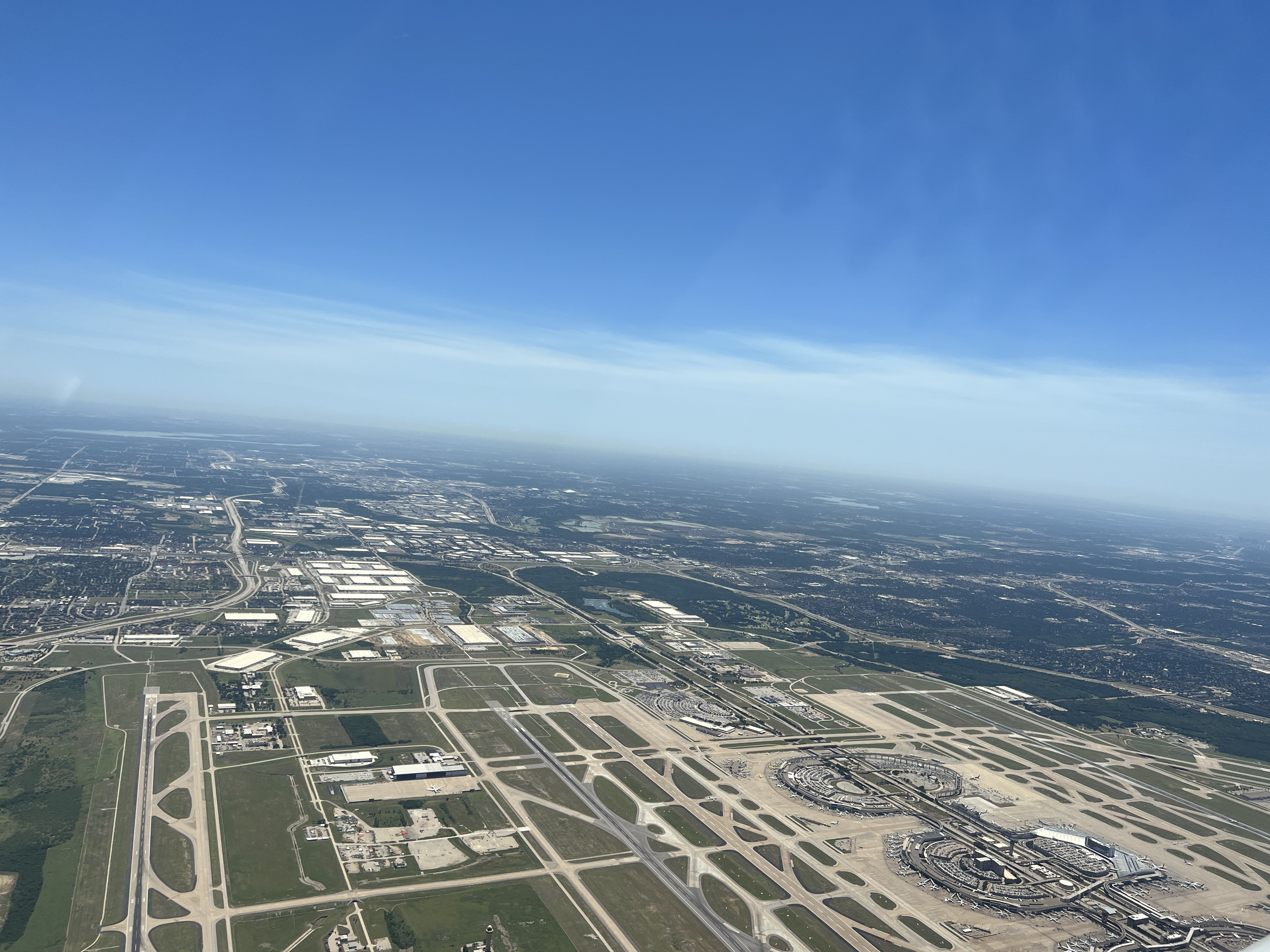
2022-05-27: KTKI to KCNM
The trip from KTKI to KCNM was flown on an IFR flight plan and started with a fly over of the Dallas-Fort Worth International (KDFW) airport. It was a very busy airspace, and ATC did their best to move me around their airspace to get me clear. This was my longest leg, and definitely got me worried about fuel reserves. As I approached KCNM, Albuquerque Center handed me over to the advisory frequency to fly the RNAV (GPS) RWY 14R approach without separation services. Apparently they don't have good radio reception north of KCNM, but it just seemed odd. The Cavern City Air Terminal airport was very spread out, and once landing on runway 14R it took a bit of time to taxi to the Chandler Aviation FBO hangar. I was able to email and call ahead of my arrival to arrange a hangar for N977JW overnight. Picked up a rental car and headed to the Hampton Inn & Suites in Carlsbad, NM. I recommend heading north (Roswell, NM) or north west (Sedona, AZ) for an overnight stay.
- Departure: KTKI (McKinney, TX), field elevation: 589'
- Arrival: KCNM (Carlsbad, NM), field elevation: 3295'
- Hobbs Time: 3.4 hours
- Highest Flight Altitude: 6,000'
- Approach: RNAV (GPS) RWY 14R
- Date/Time: 2022-05-27, 1:41PM (CDT) to 3:42PM (MDT)
- Fuel: $7.35 per gallon @ KCNM for 38.3 gallons = $281.51

2022-05-28: KCNM to KLSB
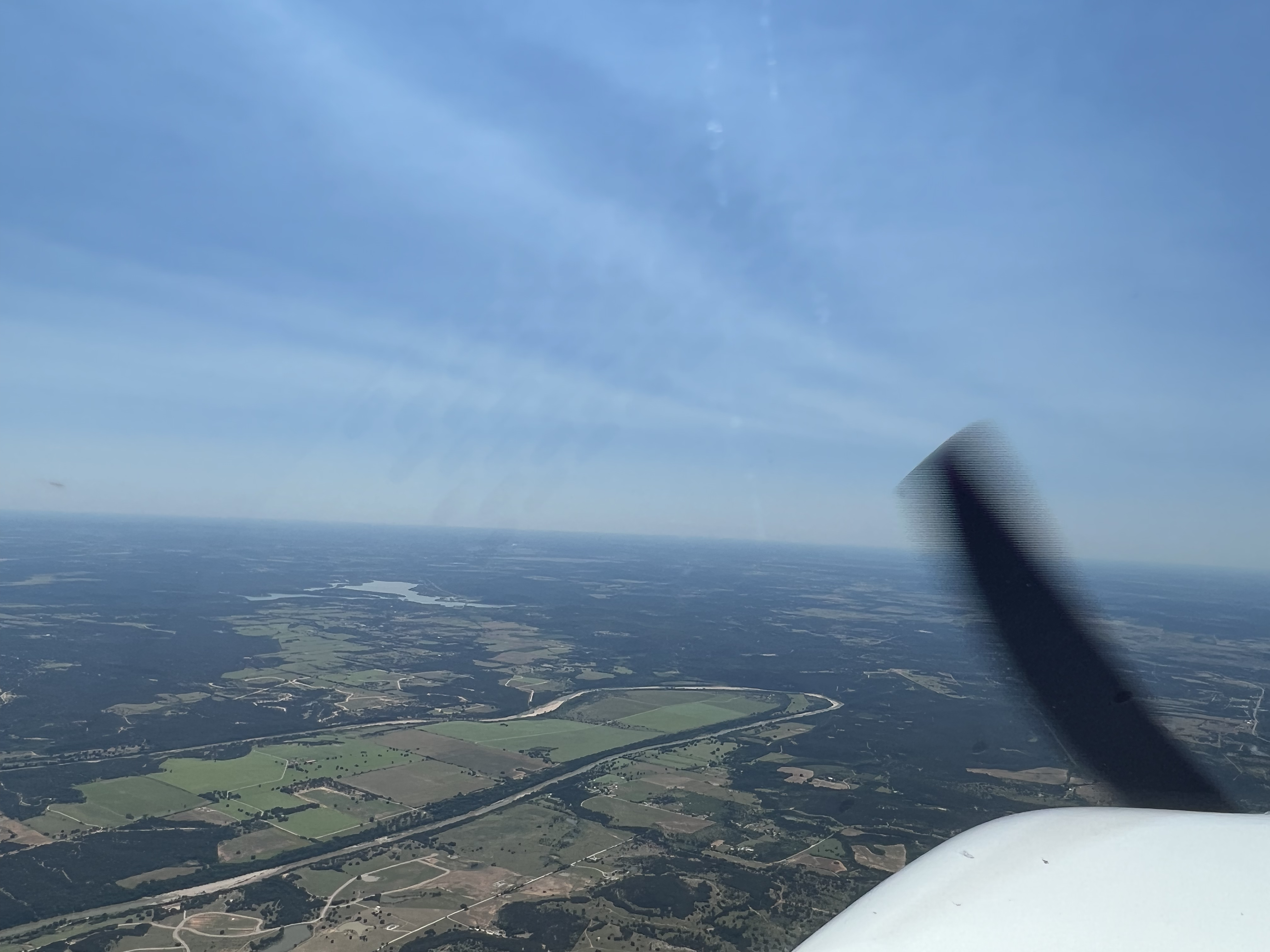
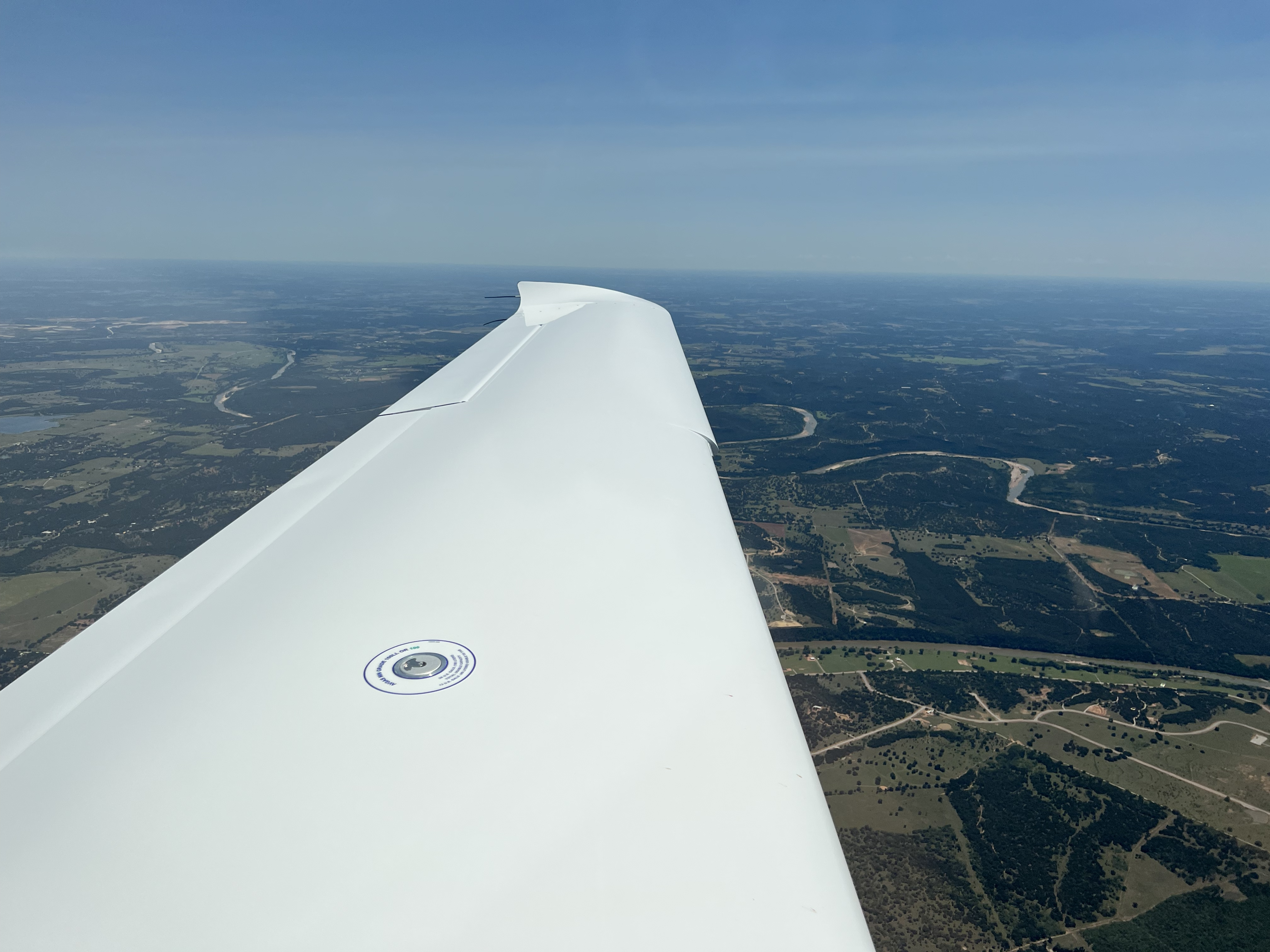
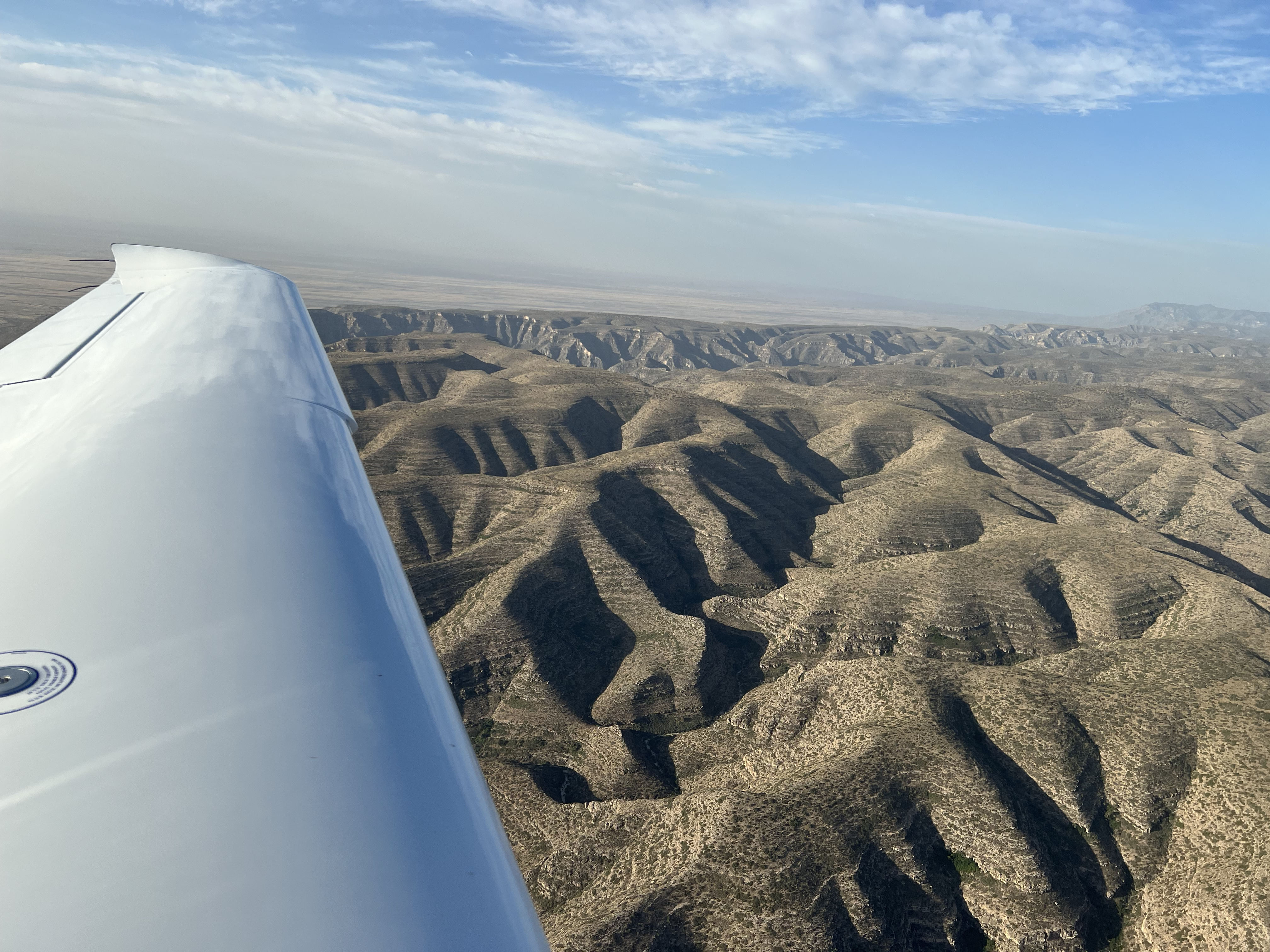
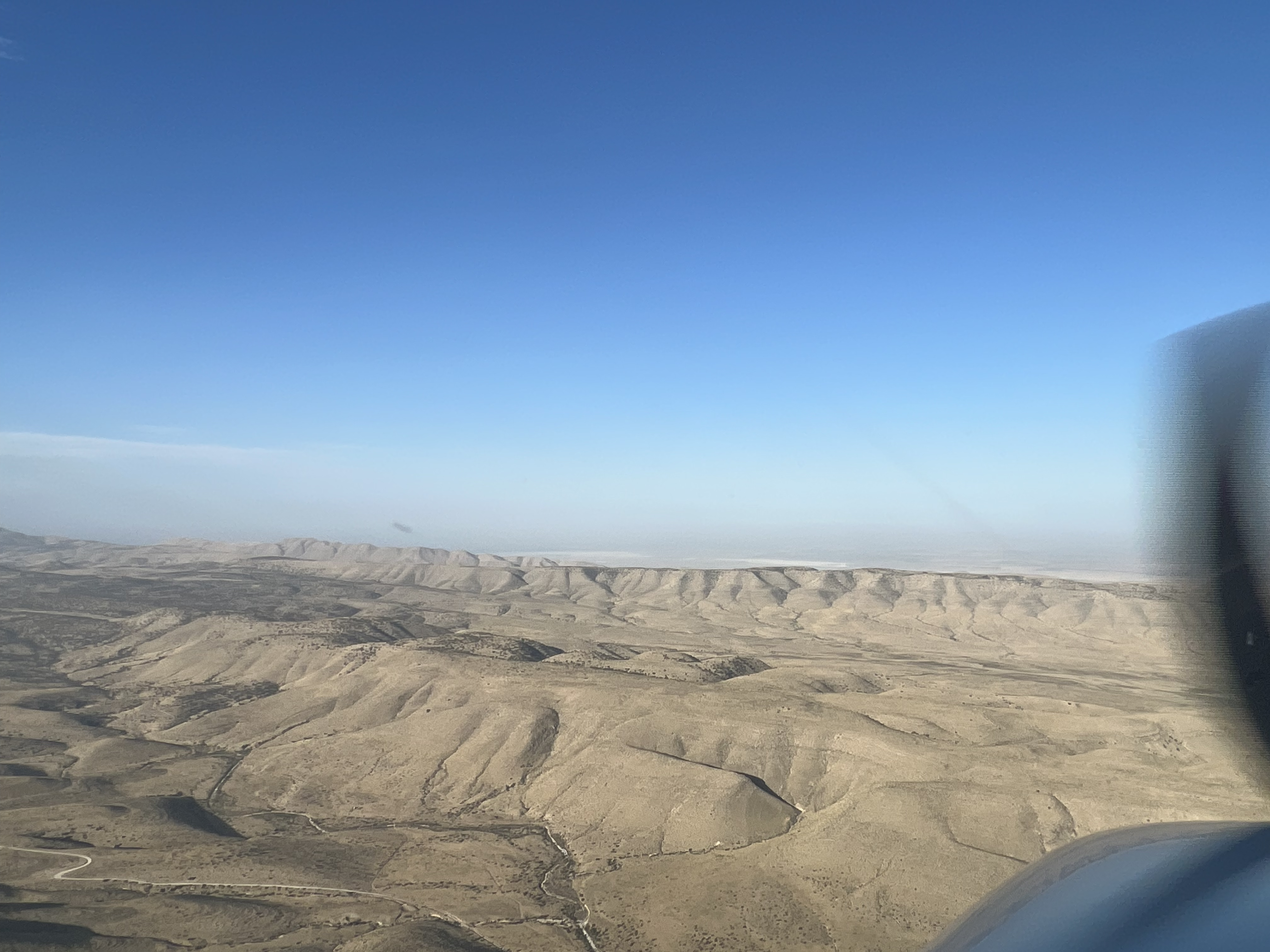
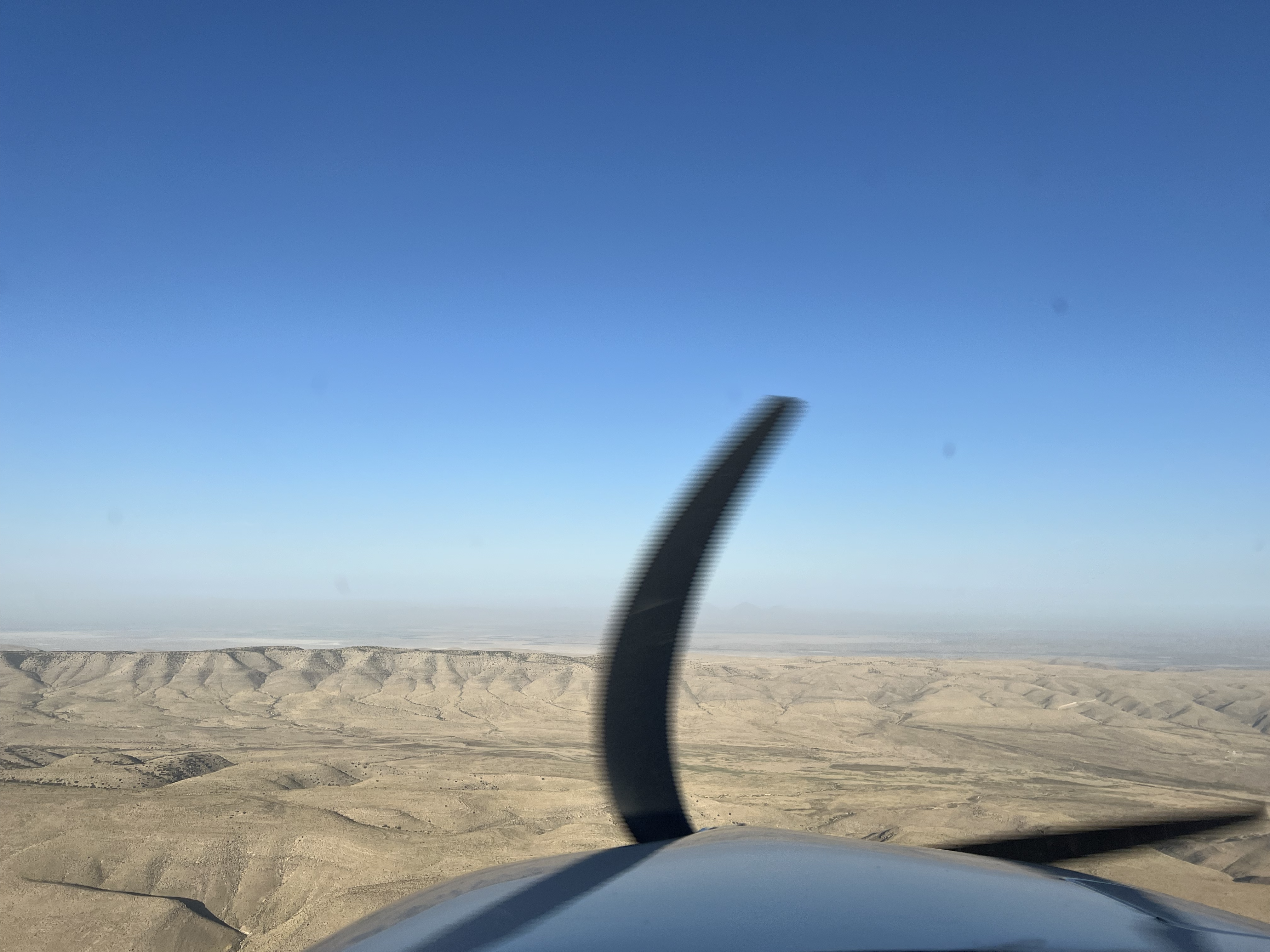
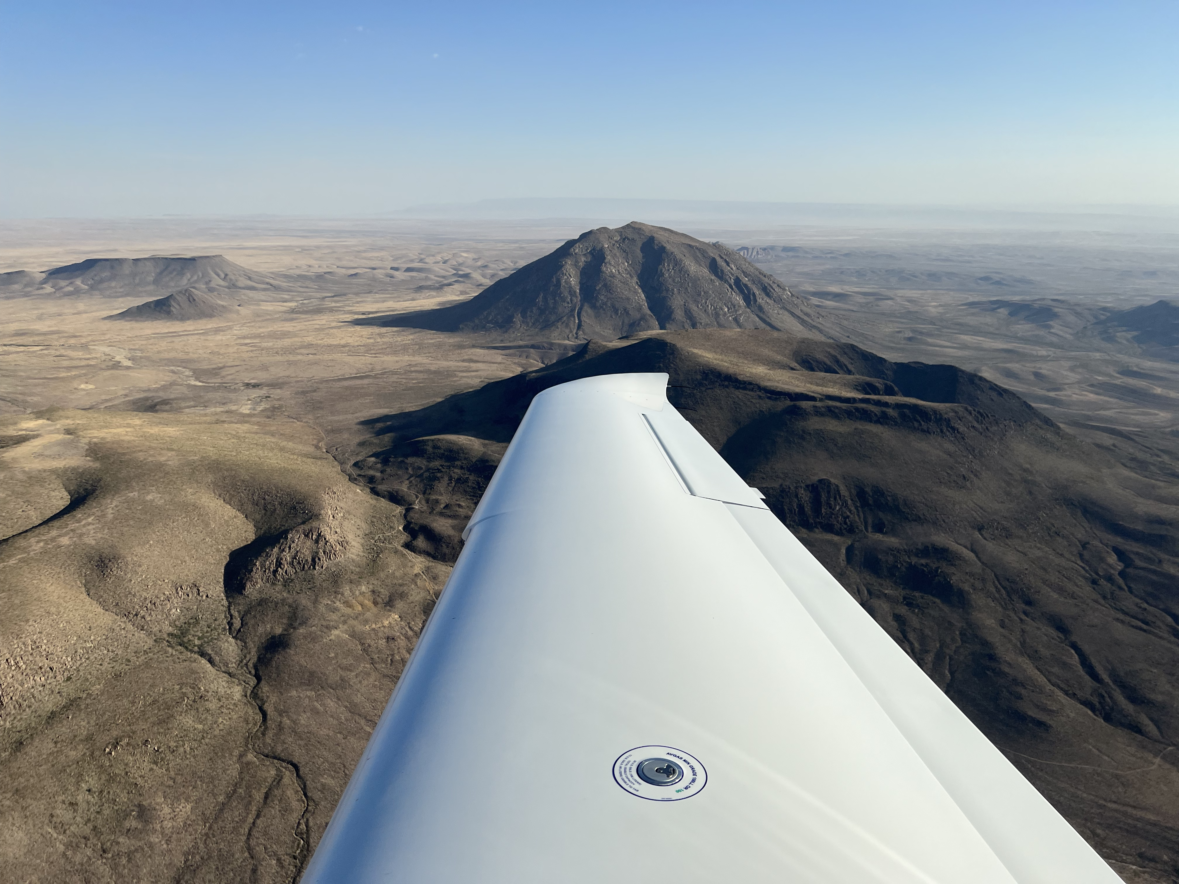
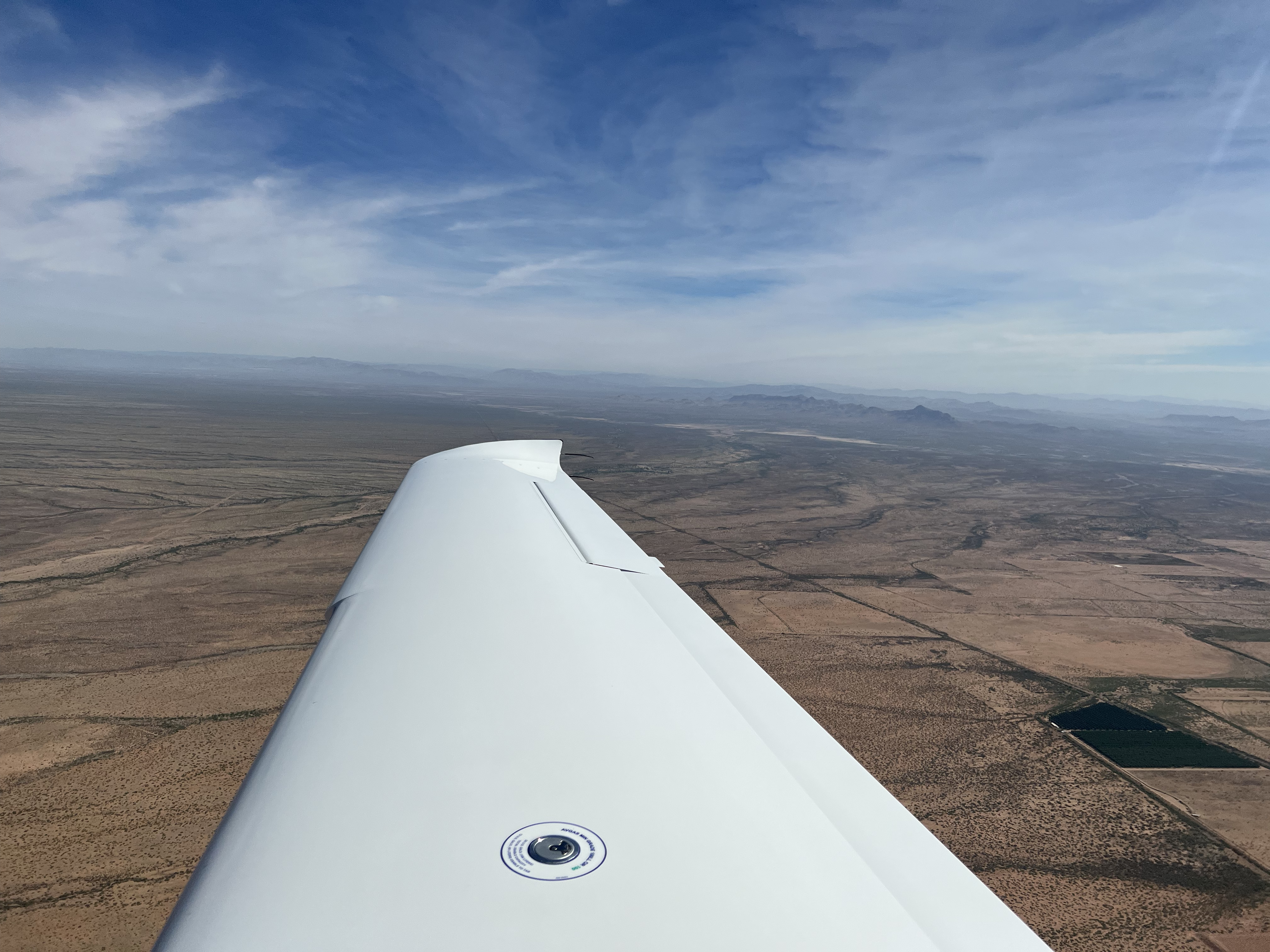
The trip from KCNM to KLSB was flown on a VFR flight plan at 7500' altitude. Initially my route of flight was filed as KCNM to ELP VOR to DMN VOR and finally to KLSB. However, once I departed KCNM I decided I didn't want to fly direct to El Paso, Texas, and I requested direct Deming (DMN) VOR from Albuquerque Center ATC. ATC advised that R-5103C, R-5103B, R-5107A and R-5107K restricted areas were hot, and recommended direct Newman (EWM) VOR and then on course to KLSB. It was really neat flying this leg as the terrain changed so much as the flight progressed.
- Departure: KCNM (Carlsbad, NM), field elevation: 3295'
- Arrival: KLSB (Lordsburg, NM), field elevation: 4289'
- Hobbs Time: 2.1 hours
- Highest Flight Altitude: 7,500'
- Approach: Visual RWY 30
- Date/Time: 2022-05-28, 8:02AM to 9:52AM (MDT)
- Fuel: $4.90 per gallon @ KCNM for 28.98 gallons = $142.00


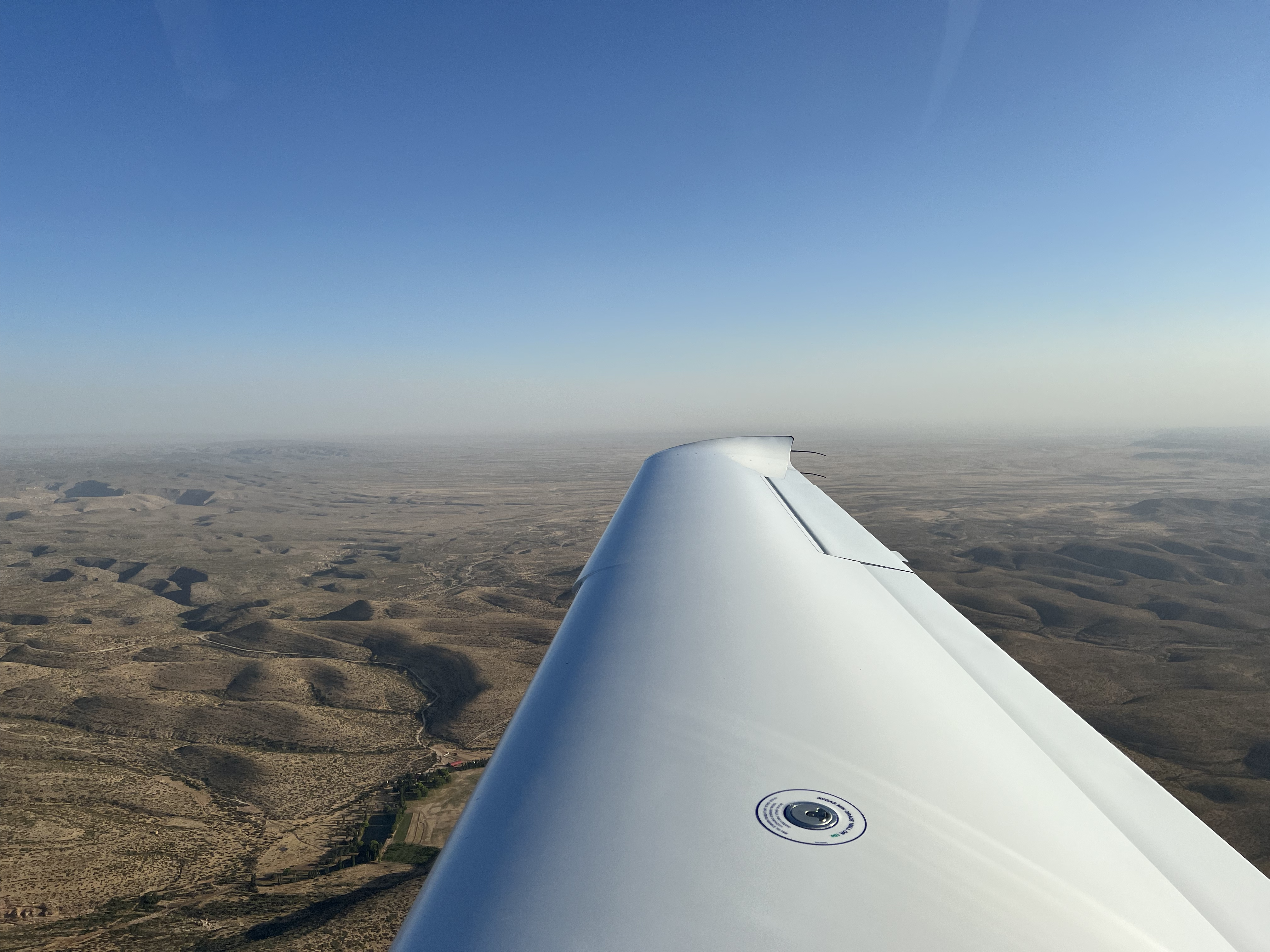
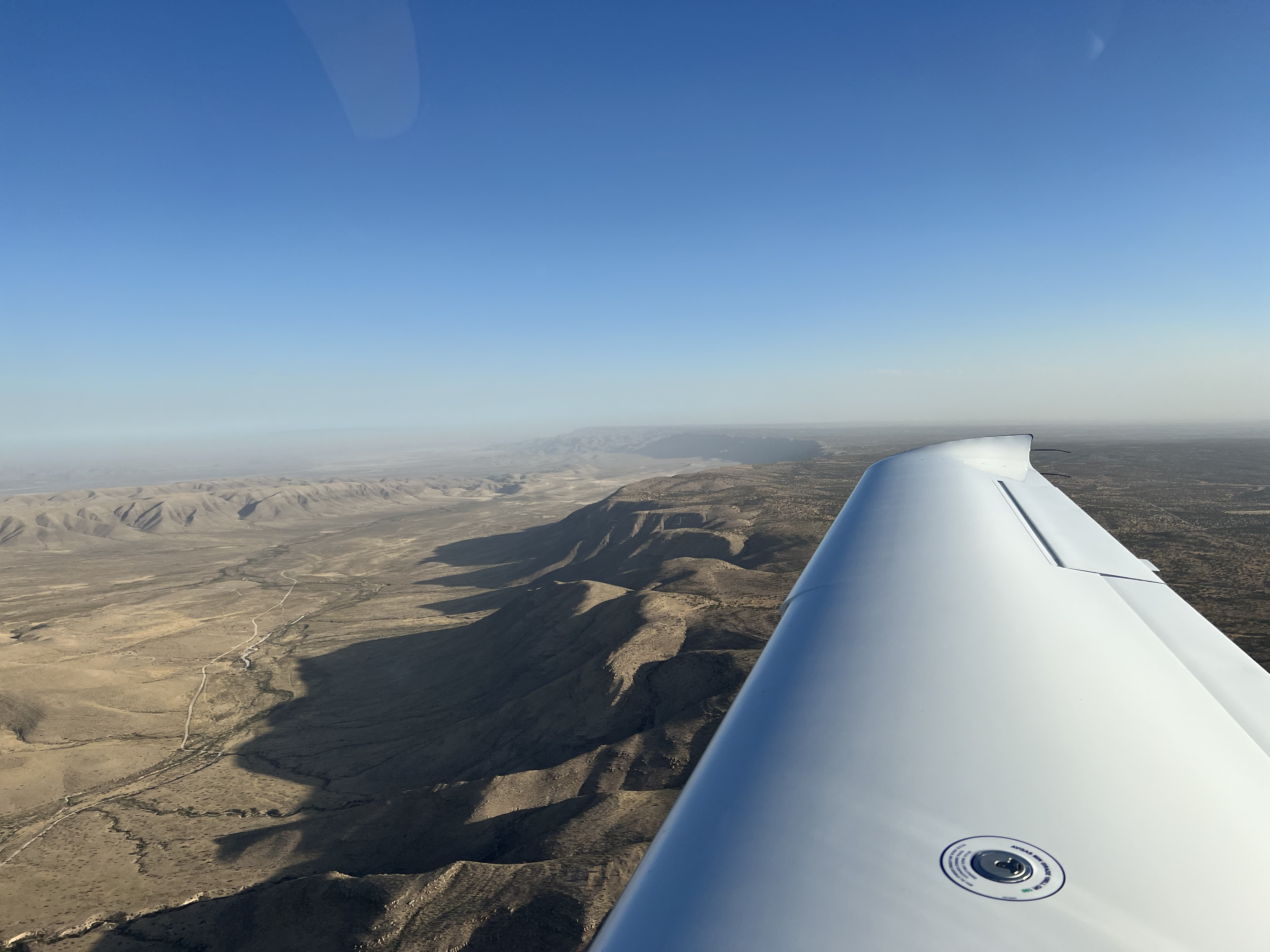
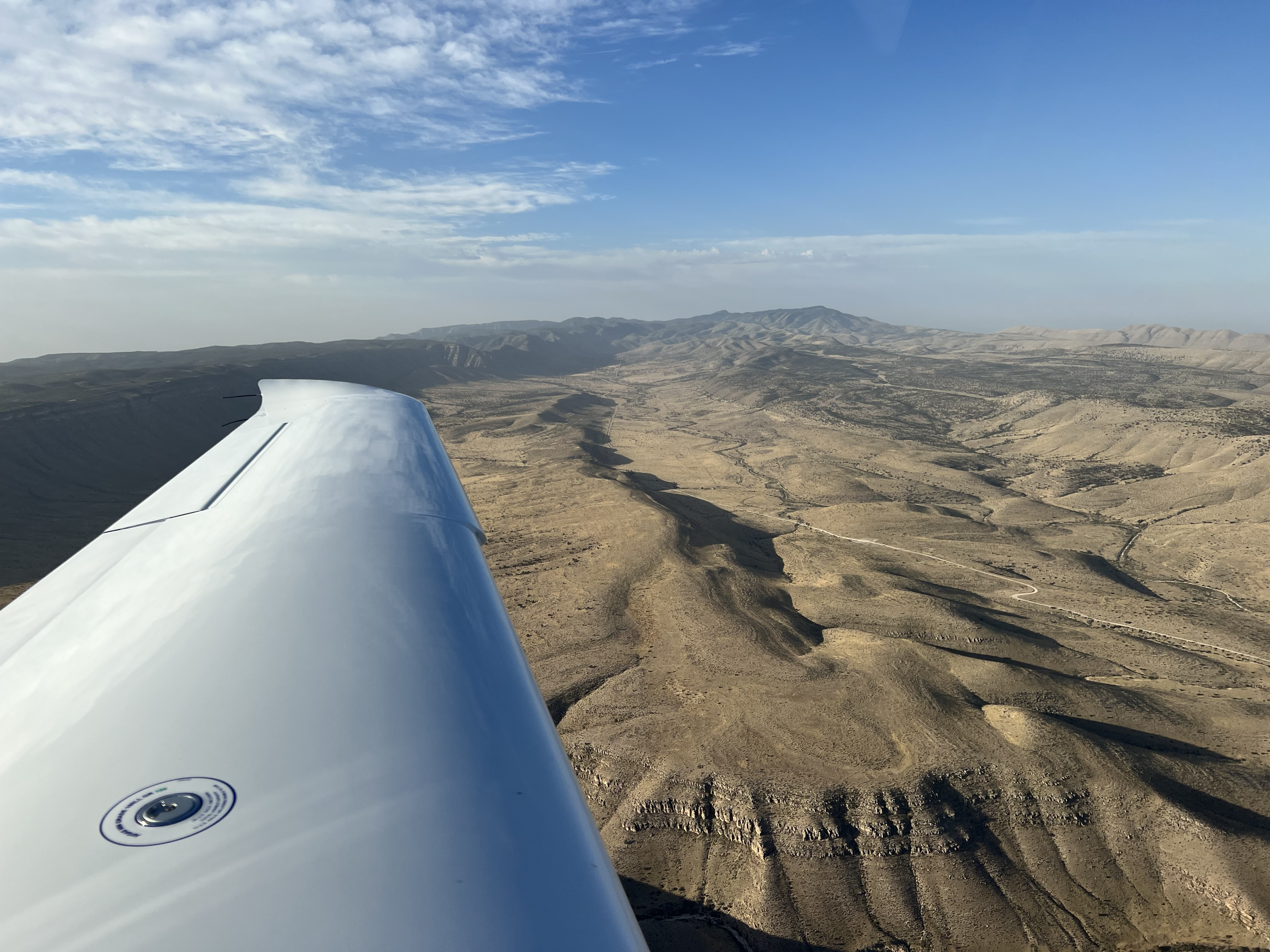
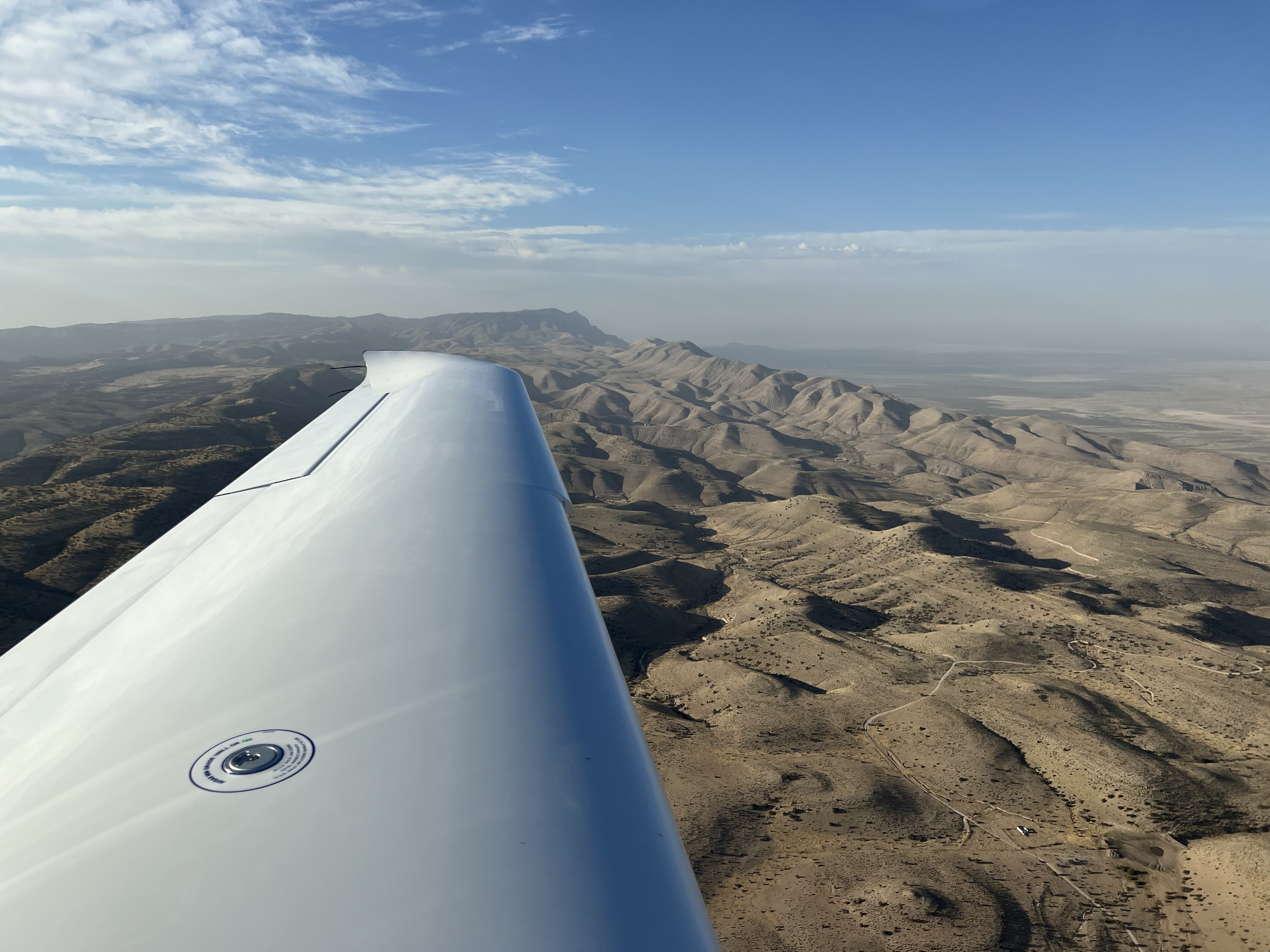
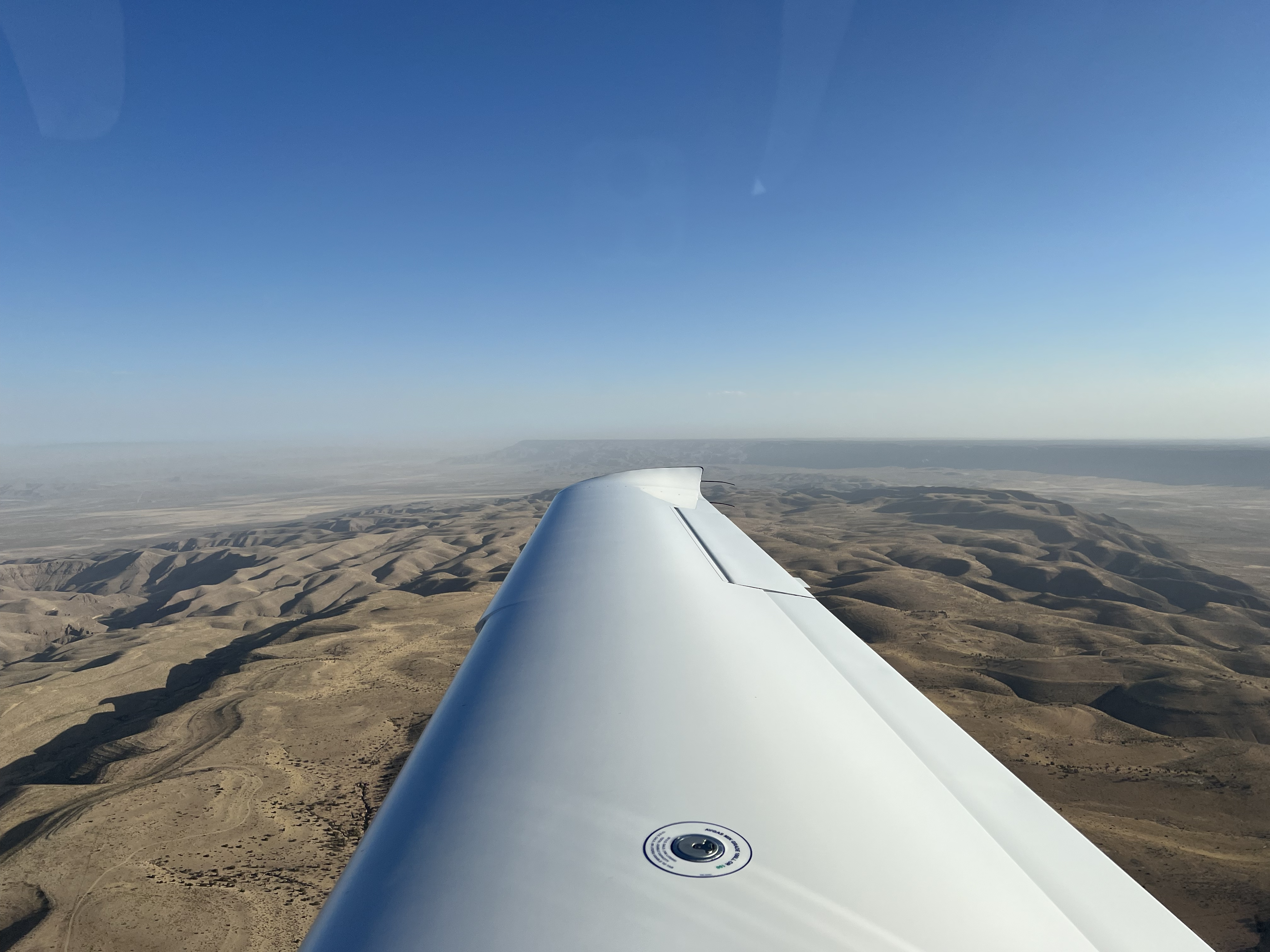
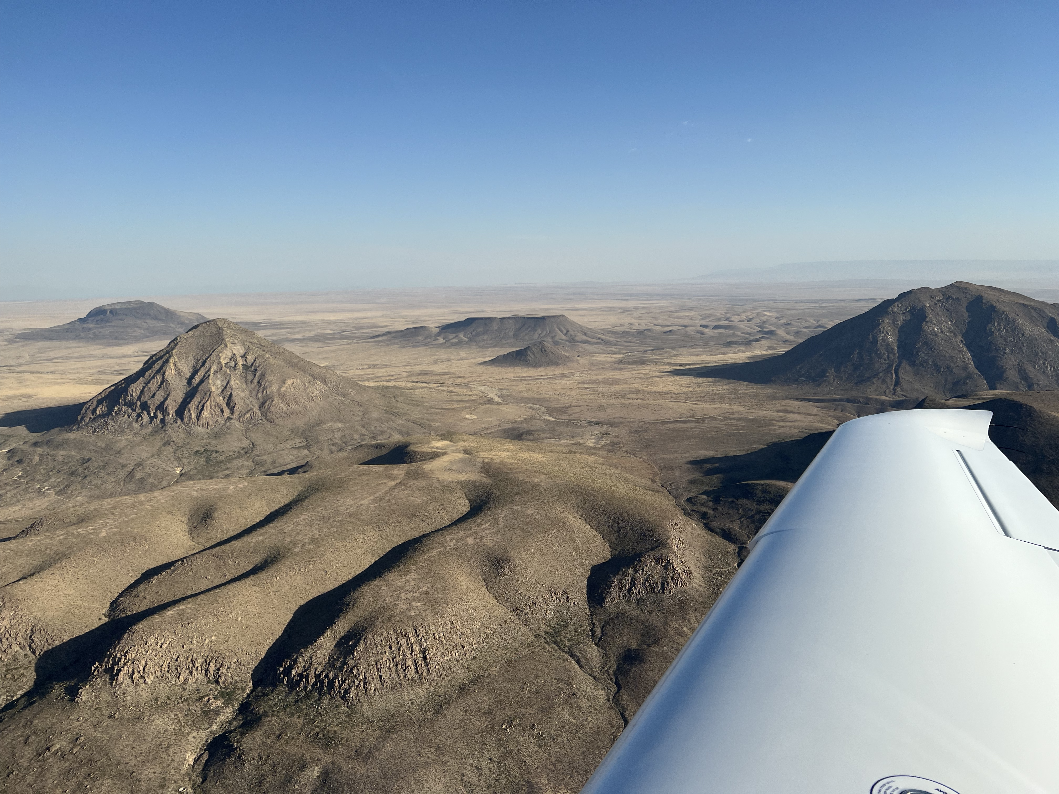
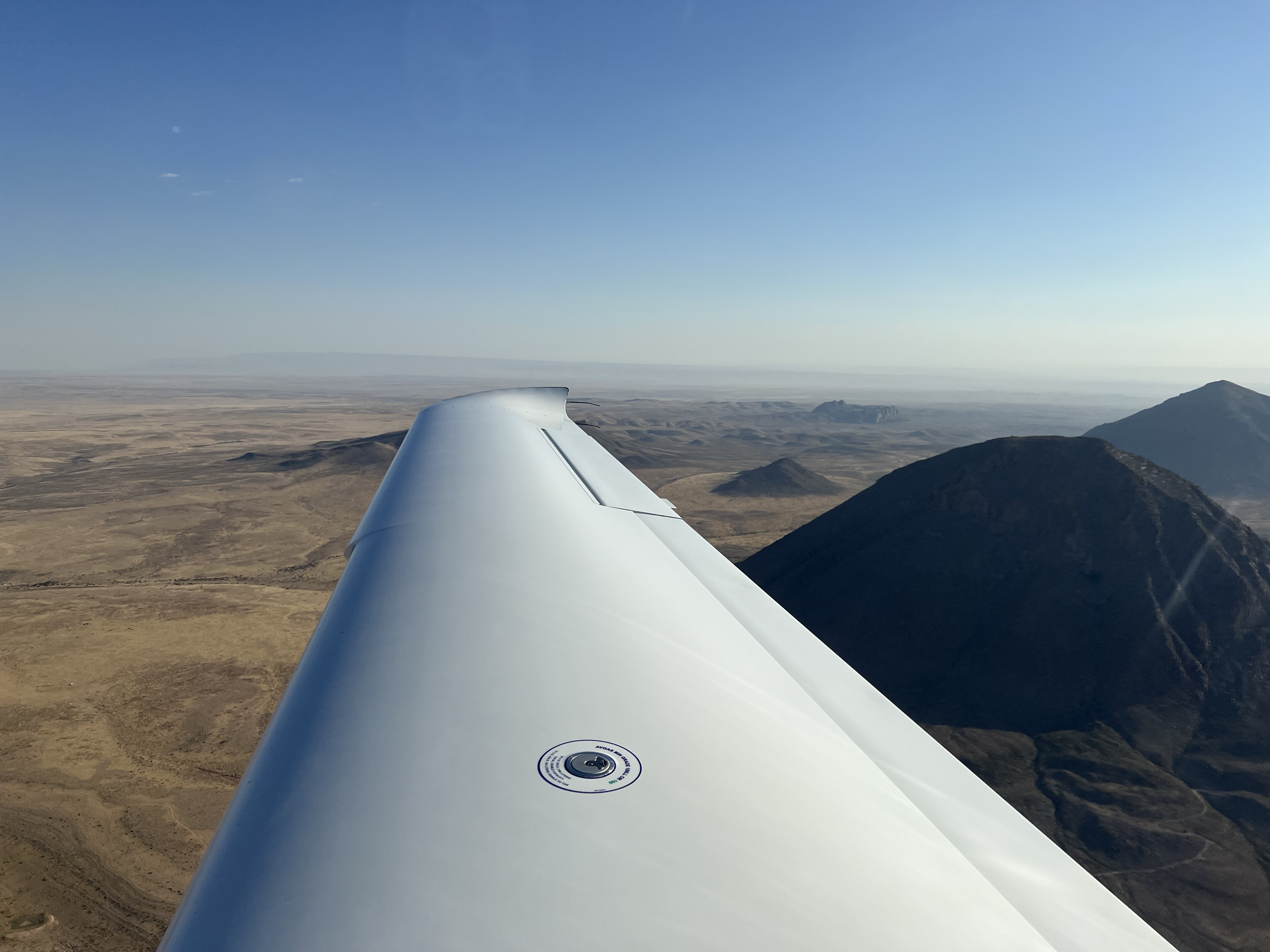

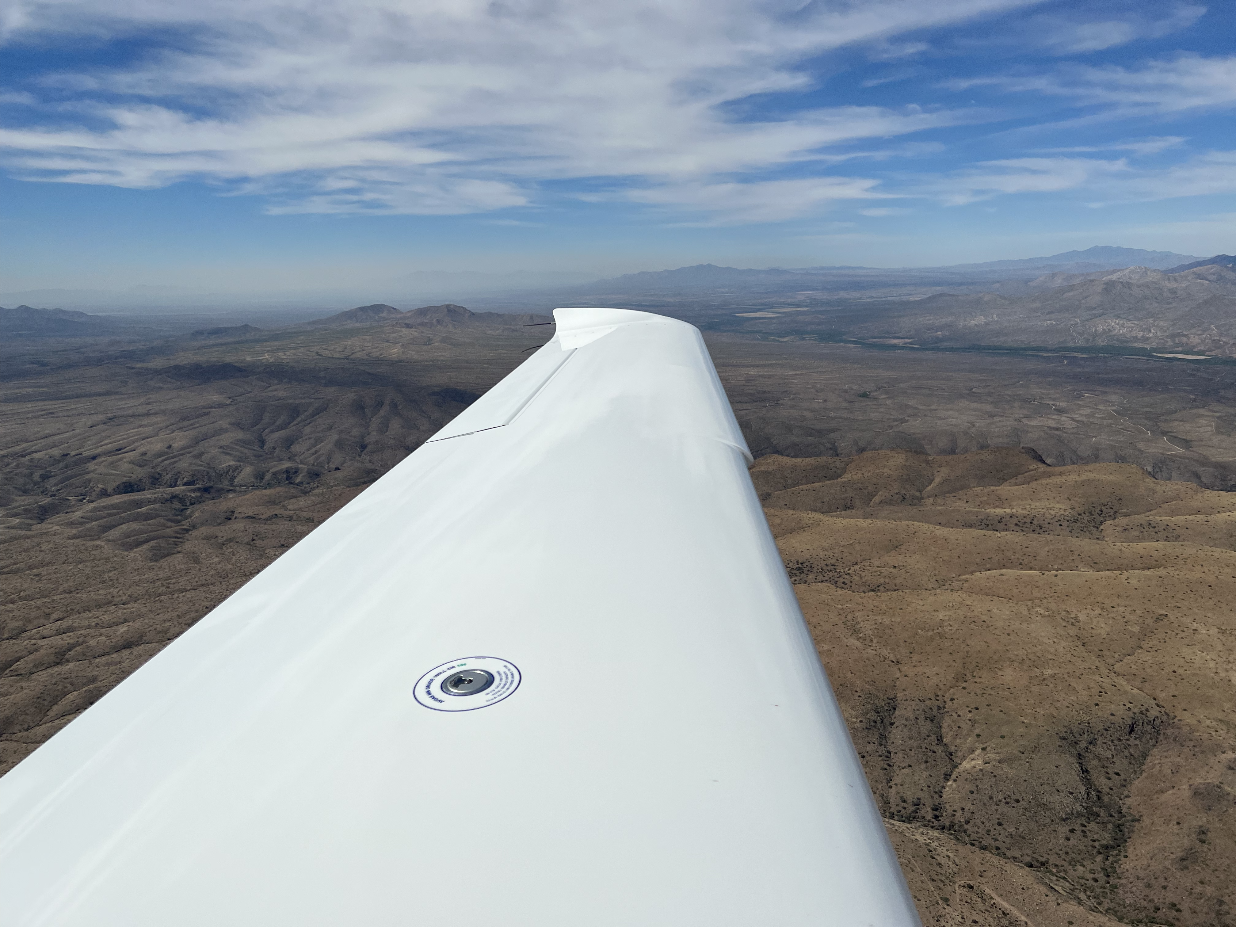
2022-05-28: KLSB to KCGZ
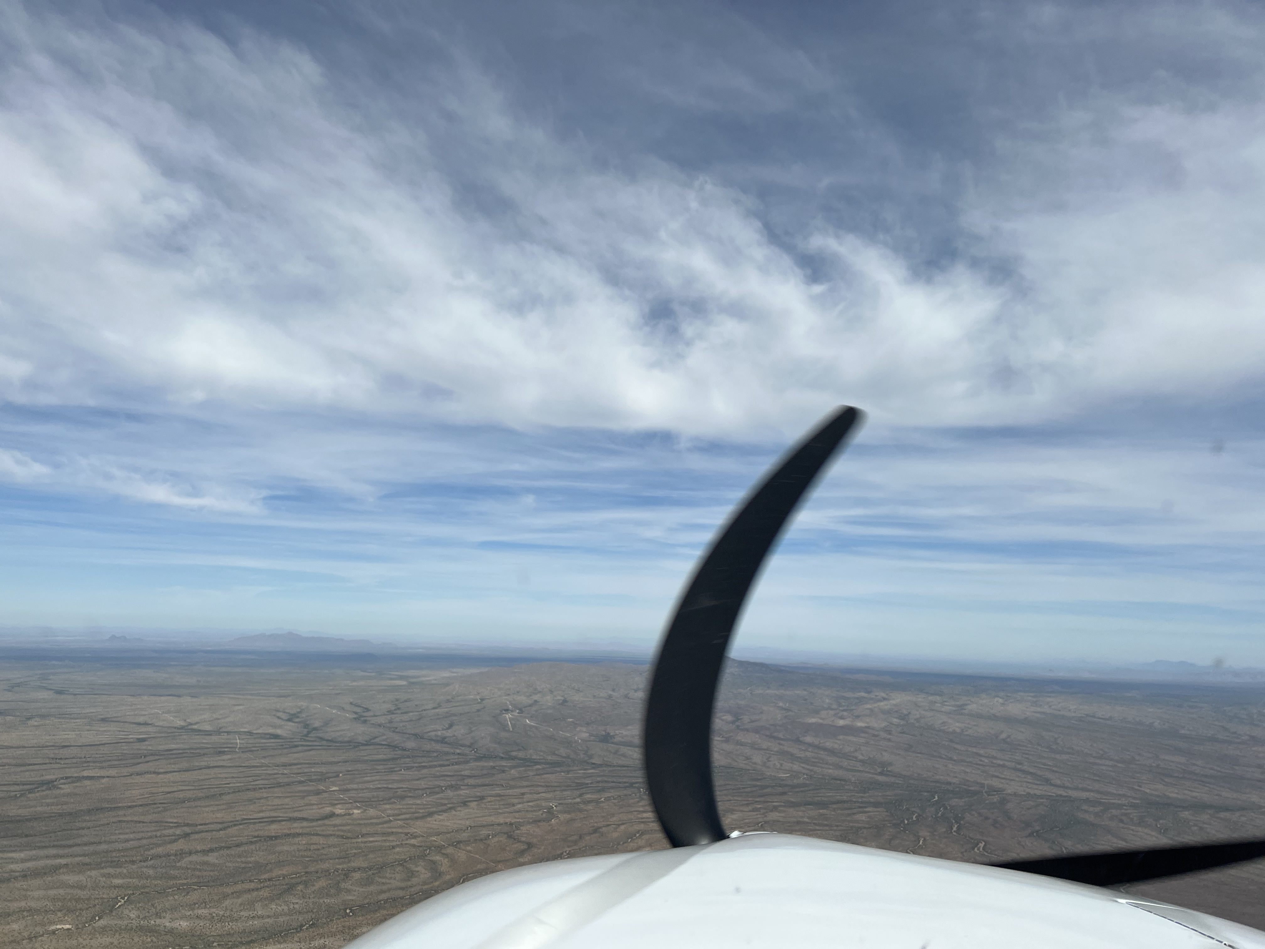
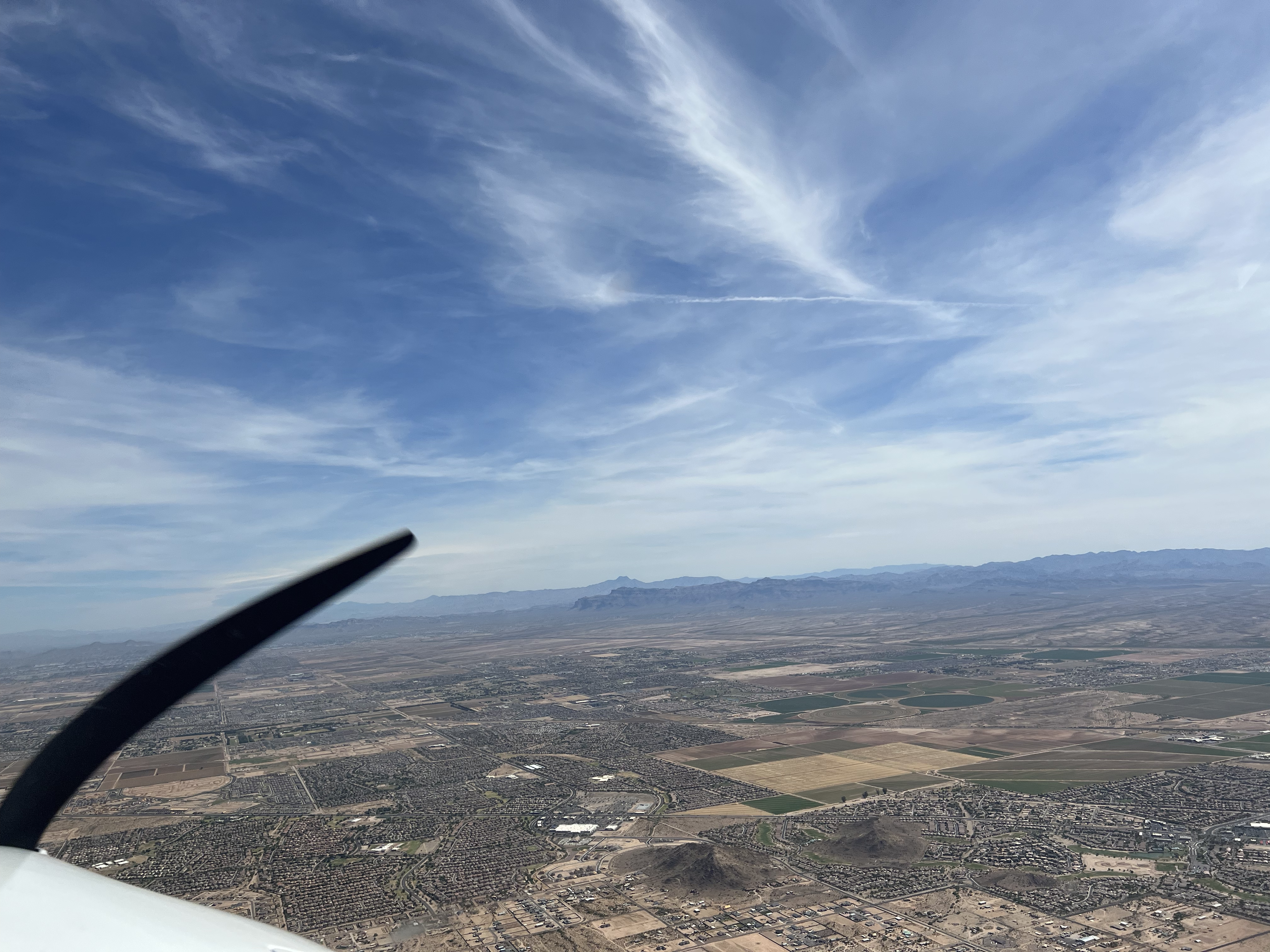
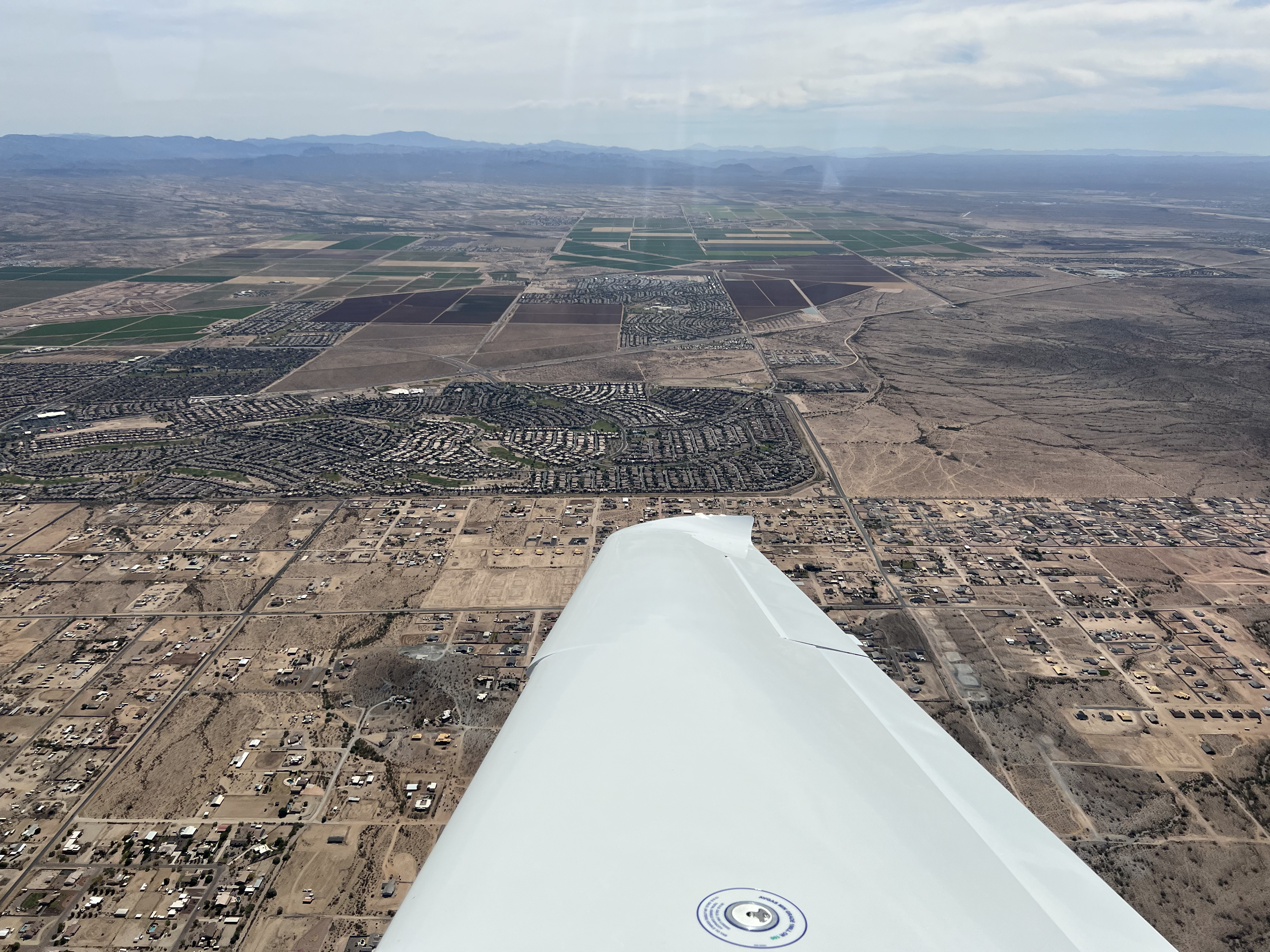
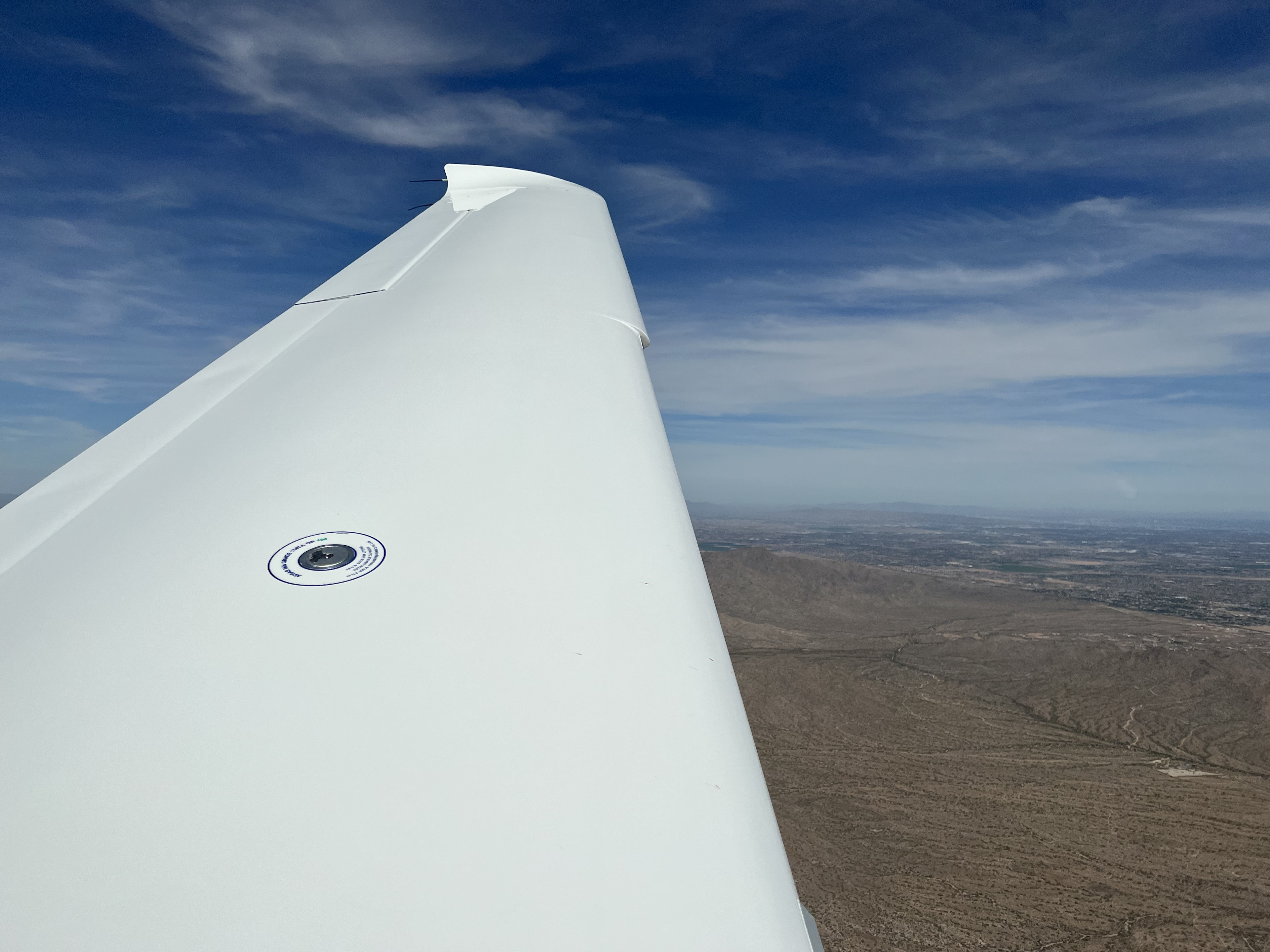
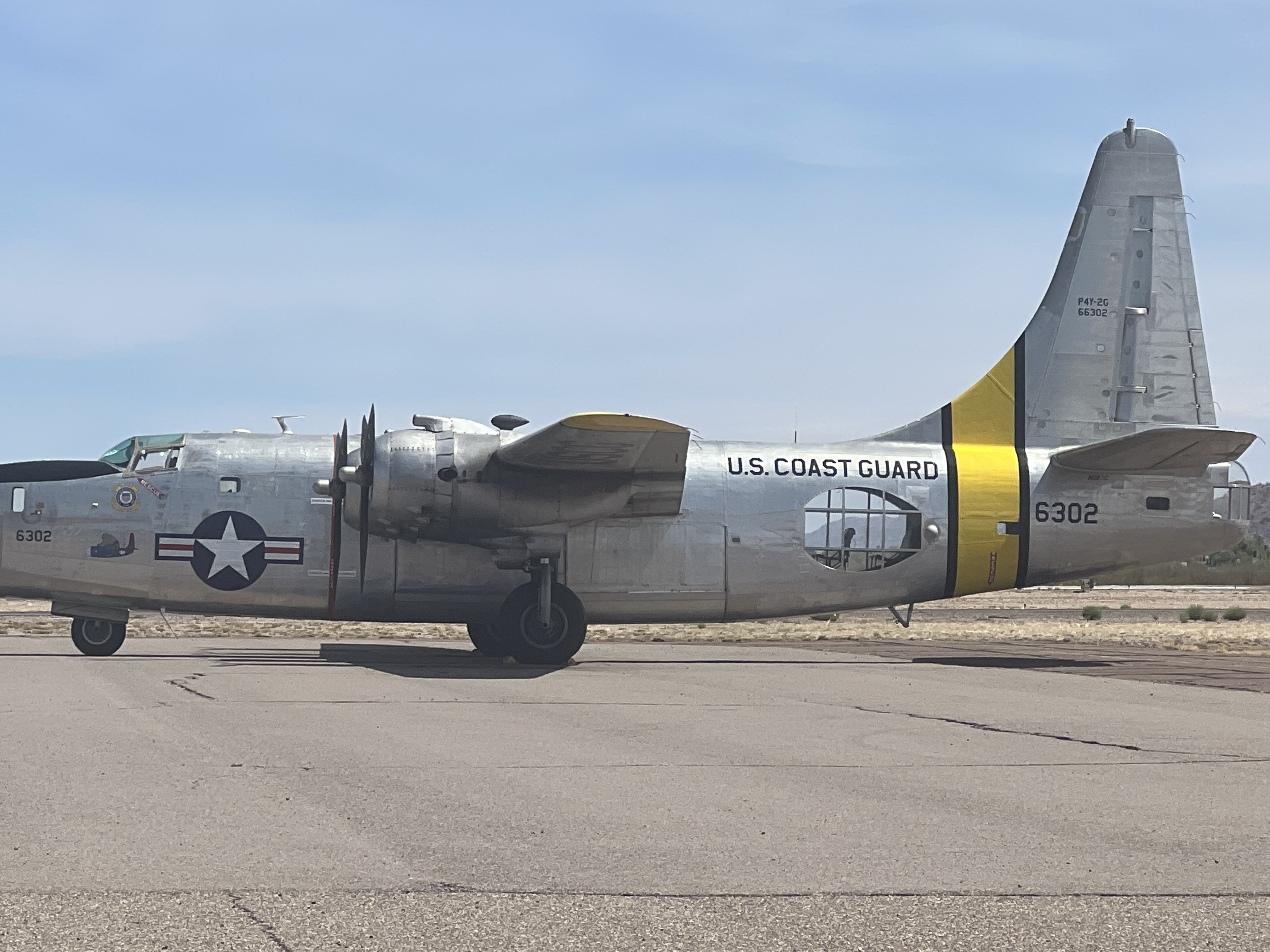
The trip from KLSB to KCGZ was flown on a VFR flight plan at 7500' altitude. As KLSB has only a single runway and not very many taxiways, I back taxi'd for a departure on runway 30. There was only one other aircraft at KLSB, and they had landed before my departure. During the flight to KCGZ, there were several large-ish mountain ranges, so I had to maneuver around them. At one point, ATC inquired whether I was going to continue on a heading as far as Tuscon, AZ (KTUS). As I approached KCGZ, ATC informed me that there were several aircraft in the pattern as well as on the ILS RWY 05 approach, and told me to squawk 1200 and switch to advisory frequency. I ended up flying the RNAV (GPS) RWY 23 approach with a course reversal to a full stop landing. The KCGZ airport was pretty active. There was also a neat restored U.S. Coast Guard Consolidated PB4Y-2 Privateer #6302 plane.
- Departure: KLSB (Lordsburg, NM), field elevation: 4289'
- Arrival: KCGZ (Casa Grande, AZ), field elevation: 1464'
- Hobbs Time: 1.5 hours
- Highest Flight Altitude: 7,500'
- Approach: RNAV (GPS) RWY 23
- Date/Time: 2022-05-28, 10:21AM (MDT) to 9:42AM (MST)
- Fuel: $112.41 @ KCGZ


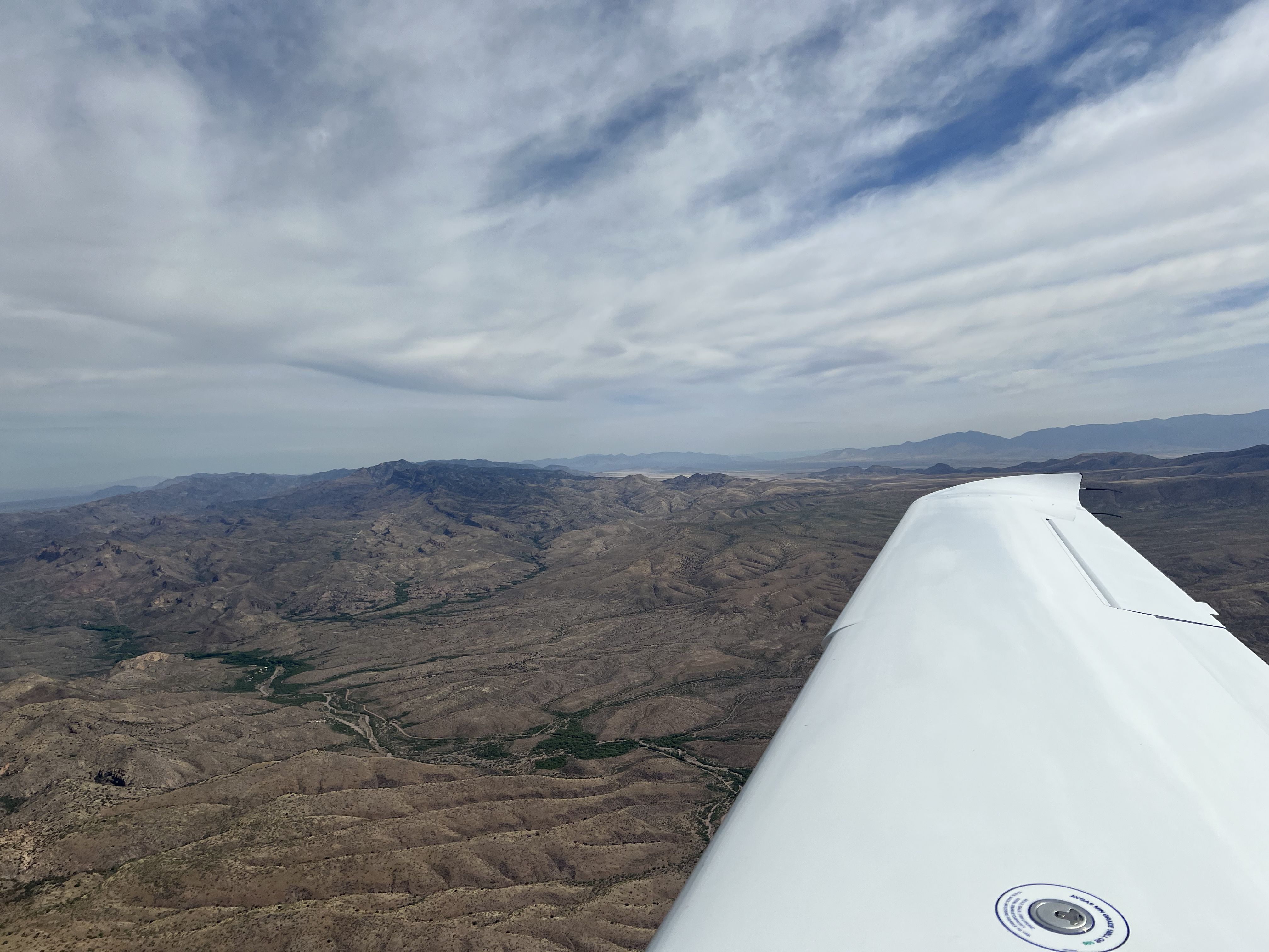


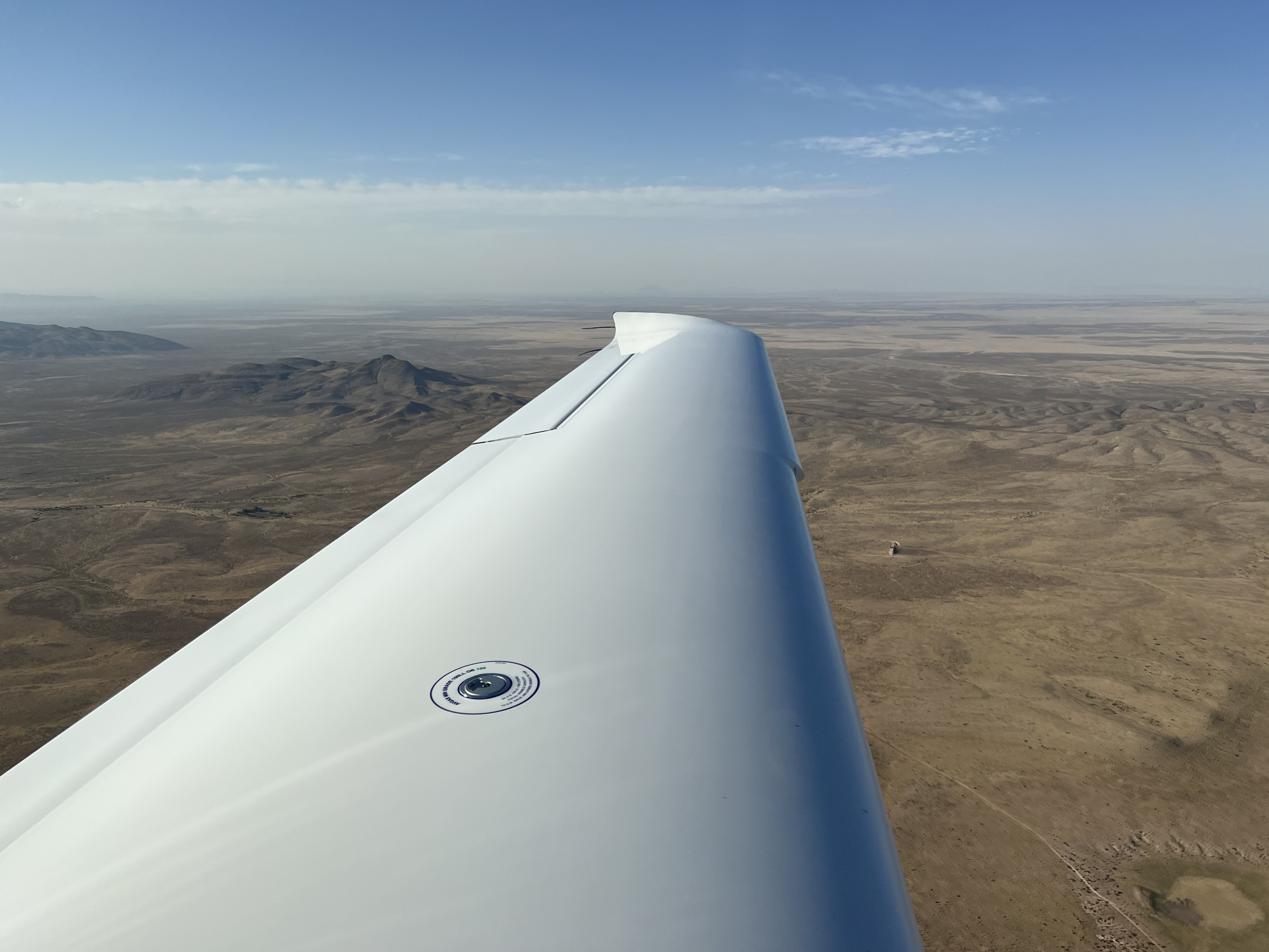
2022-05-28: KCGZ to KBLH
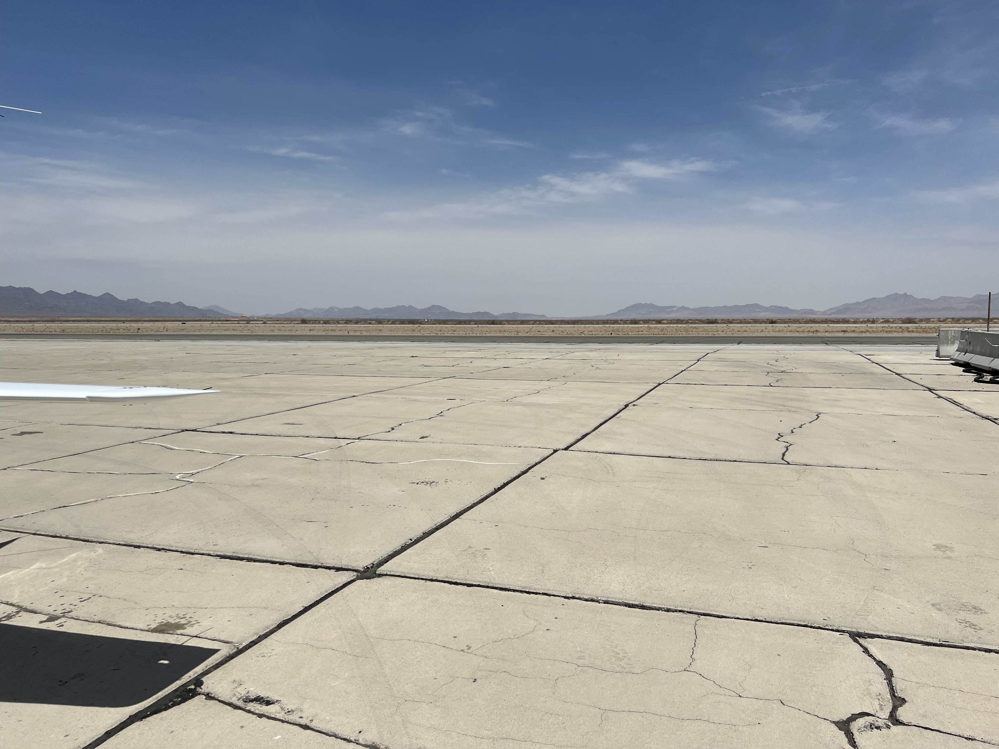
Initially, I had planned to fly from Casa Grande, AZ (KCGZ) to Apple Valley, CA (KAPV), which is just south of Fox Field (KWJF). After I departed, I checked winds at KAPV, and they were in excess of 30 knots on the surface. Therefore, I chose to divert to Blythe, CA (KBLH) for fuel, which would help to escape the Palmdale area and into the central valley. When I departed KCGZ, I climbed to a cruise altitude of 7500' on a VFR flight plan, so when I got near KBLH I had to do some circling to descend down to a traffic pattern altitude of 1400'. I flew a visual straight in approach to runway 17. KBLH was a super weird airport. There were some signs of life at the airport; a handful of aircraft tied down on the ramp and a Cessna 172 that had also made a fuel stop. The ramp was constructed of square concrete pads and the pads had filled in cracks, which made it awkward to taxi. The fuel was full service and provided by Patton Aviation. Received instructions to taxi next to the big white fuel tank with the nose of the plane pointing south. I was relieved when the plane was refueled and I was able to depart towards California's central valley.
- Departure: KCGZ (Casa Grande, AZ), field elevation: 1464'
- Arrival: KBLH (Blythe, CA), field elevation: 400'
- Hobbs Time: 1.5 hours
- Highest Flight Altitude: 7,500'
- Approach: Visual RWY 17
- Date/Time: 2022-05-28, 10:18AM (MST) to 11:33AM (PDT)
- Fuel: $6.98 per gallon @ KBLH for 18.0 gallons = $132.37


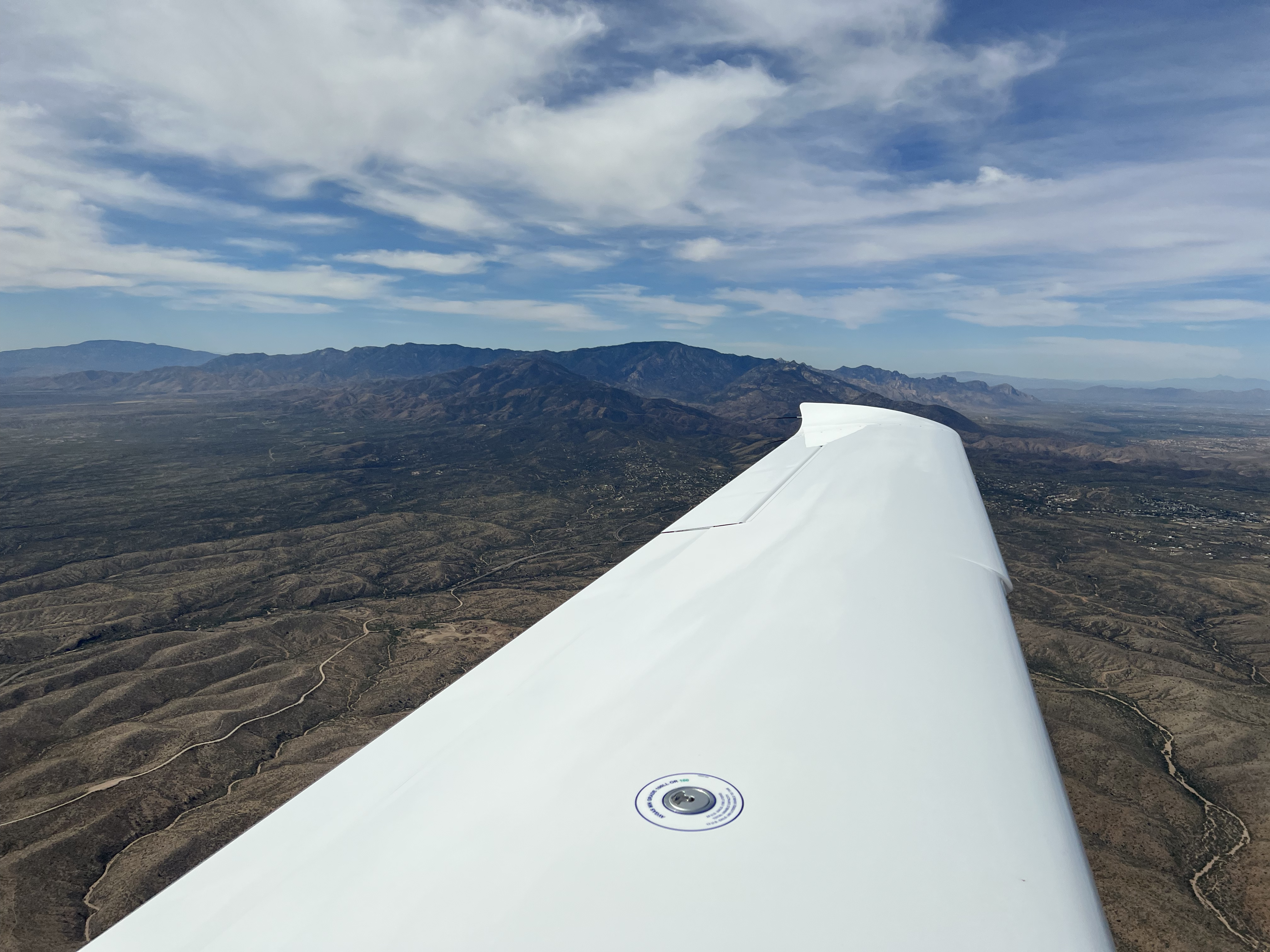
2022-05-28: KBLH to KPRB
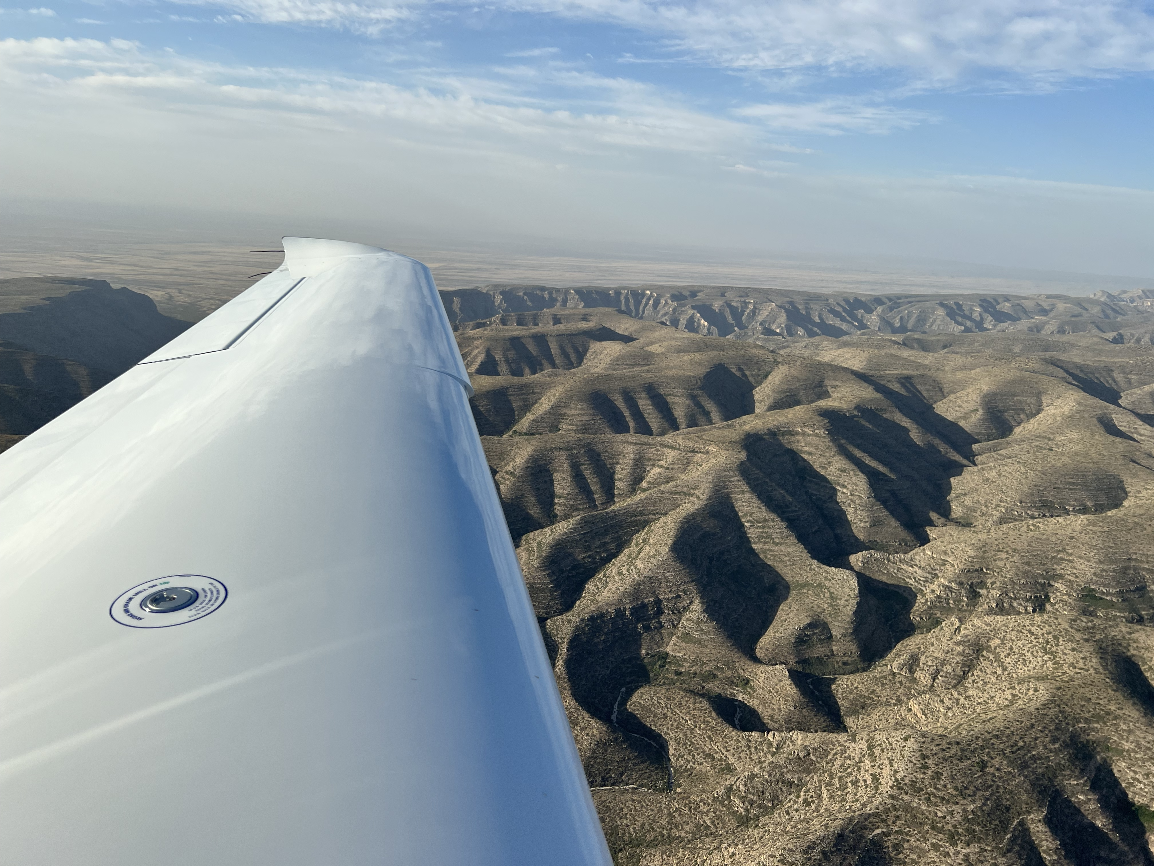
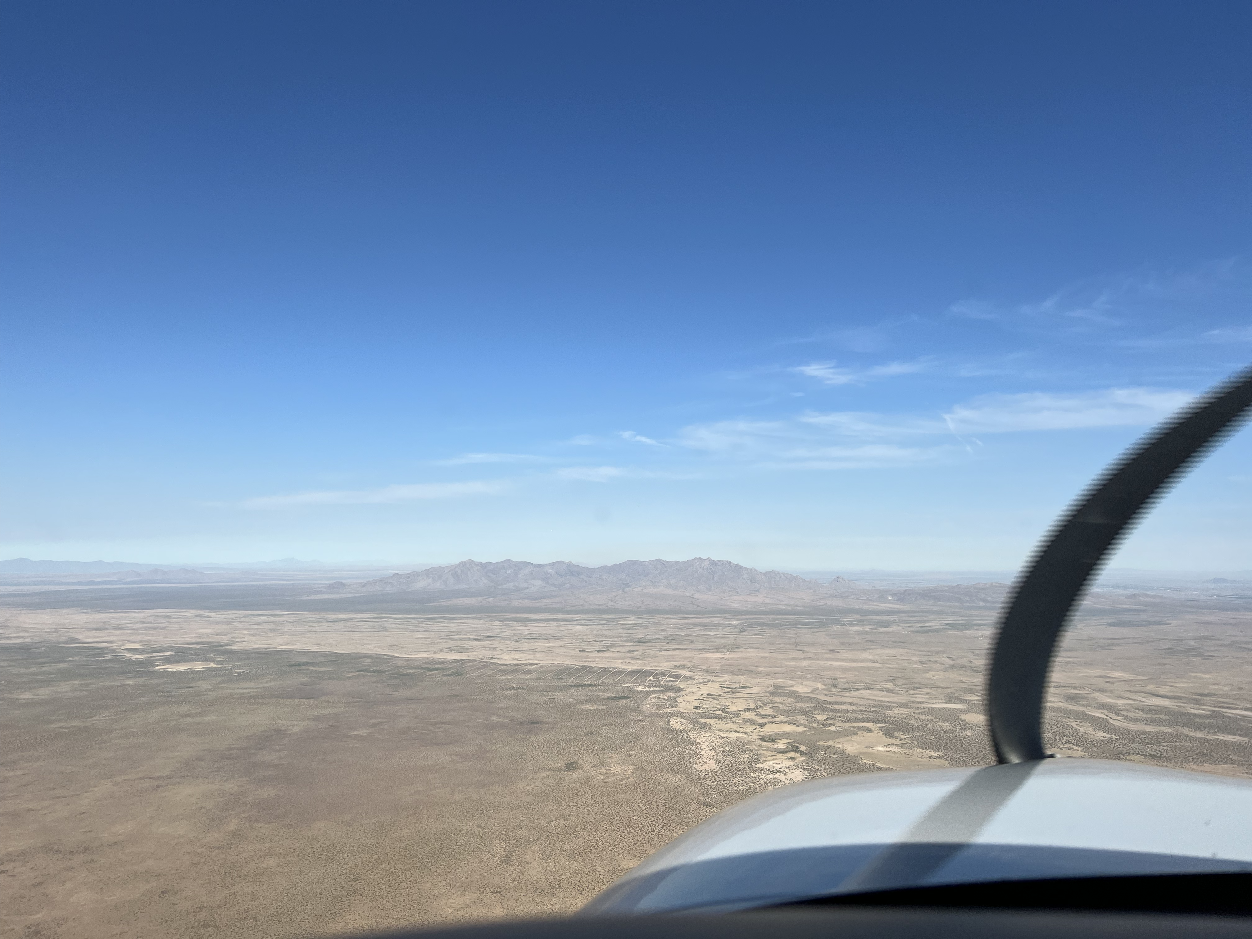
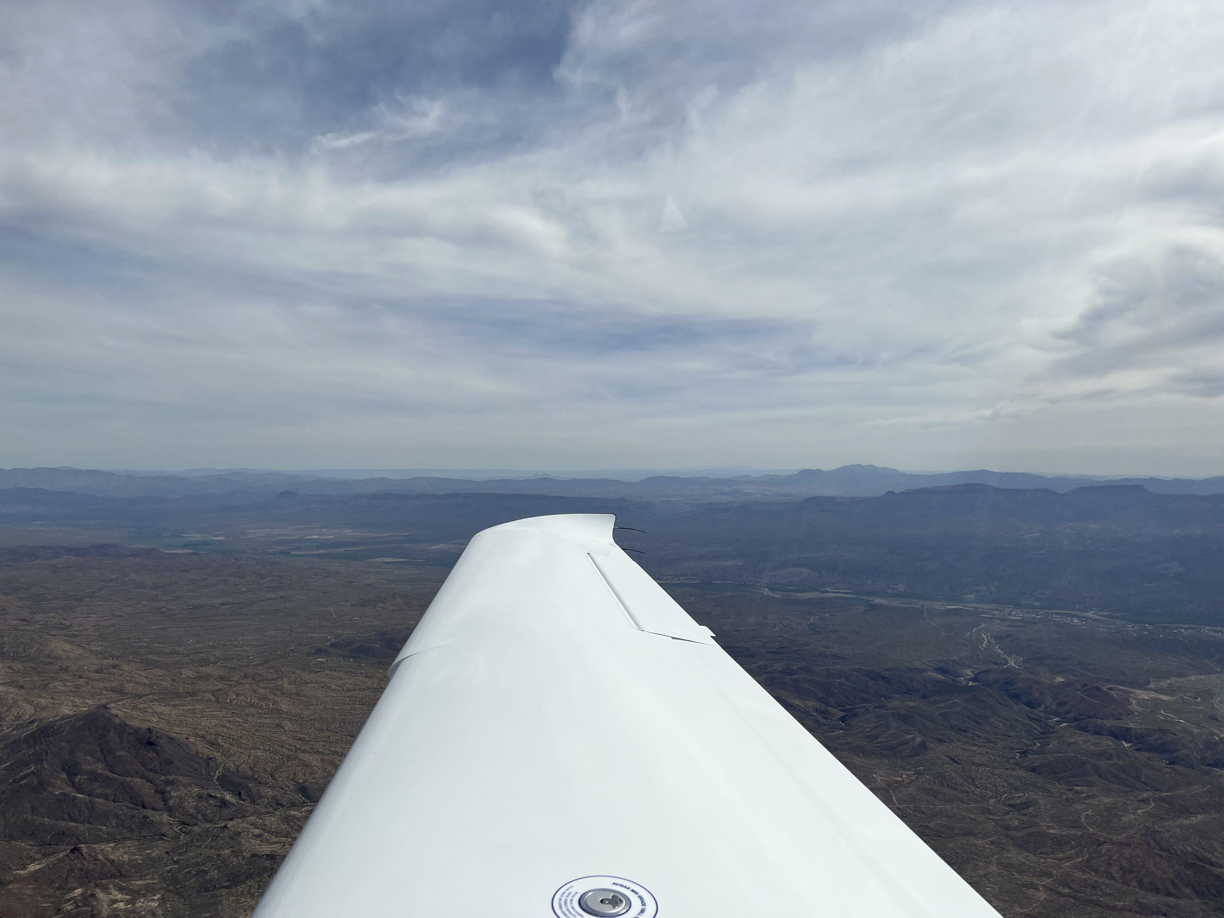
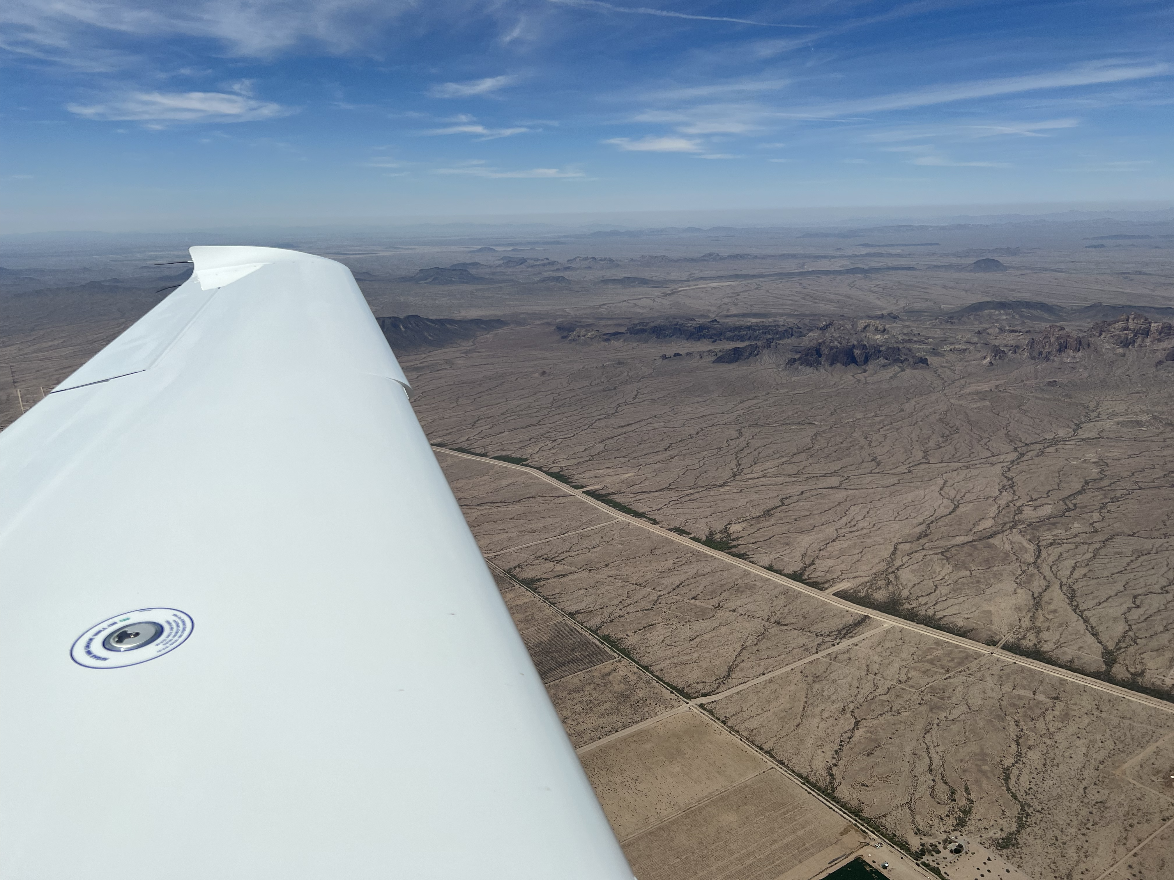
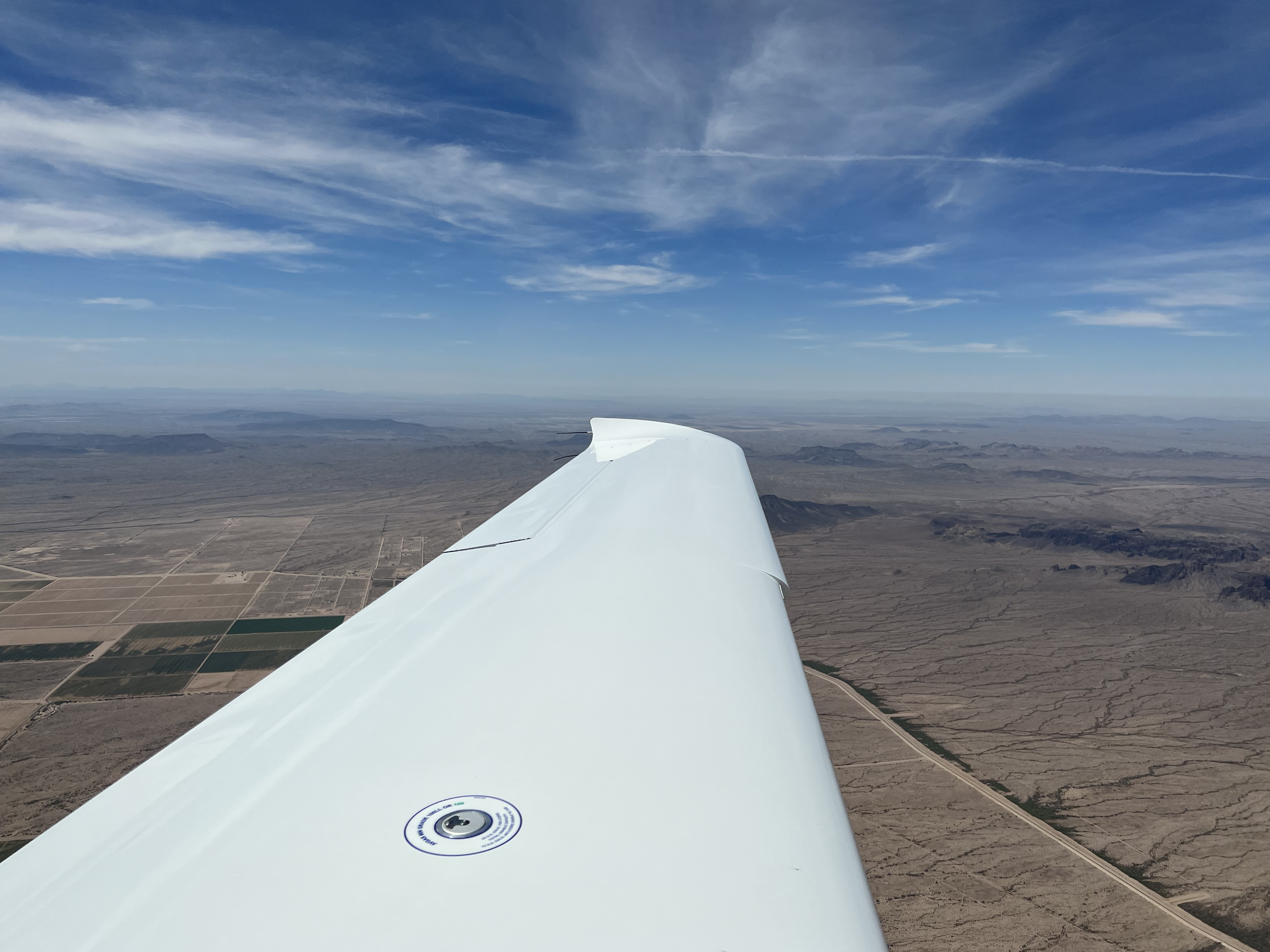
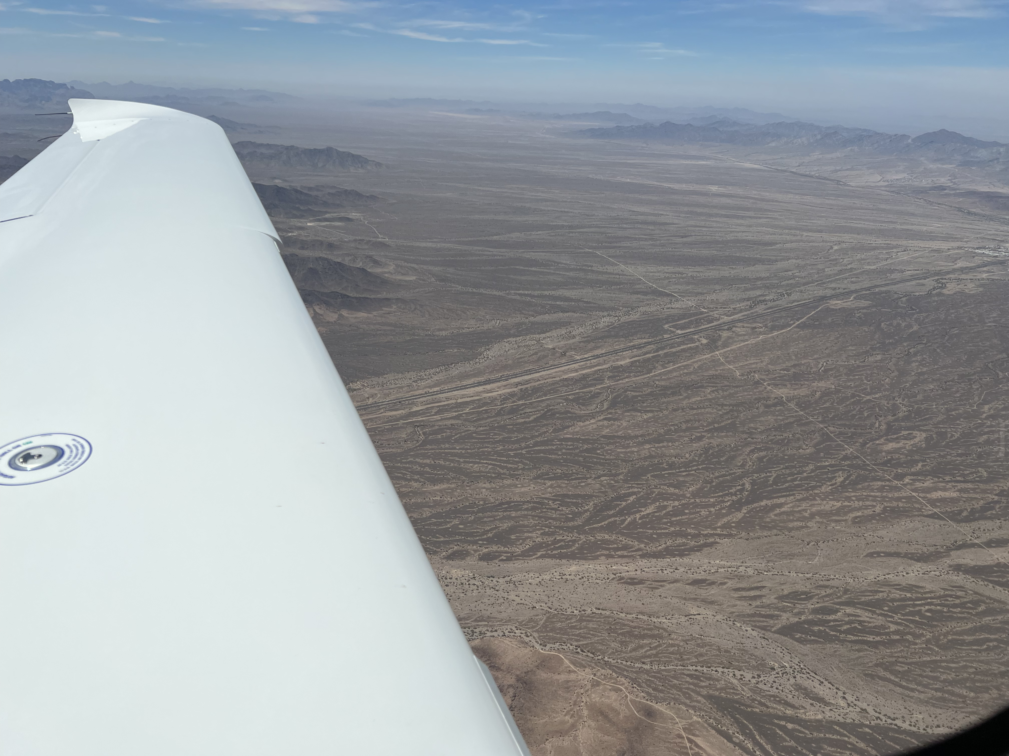
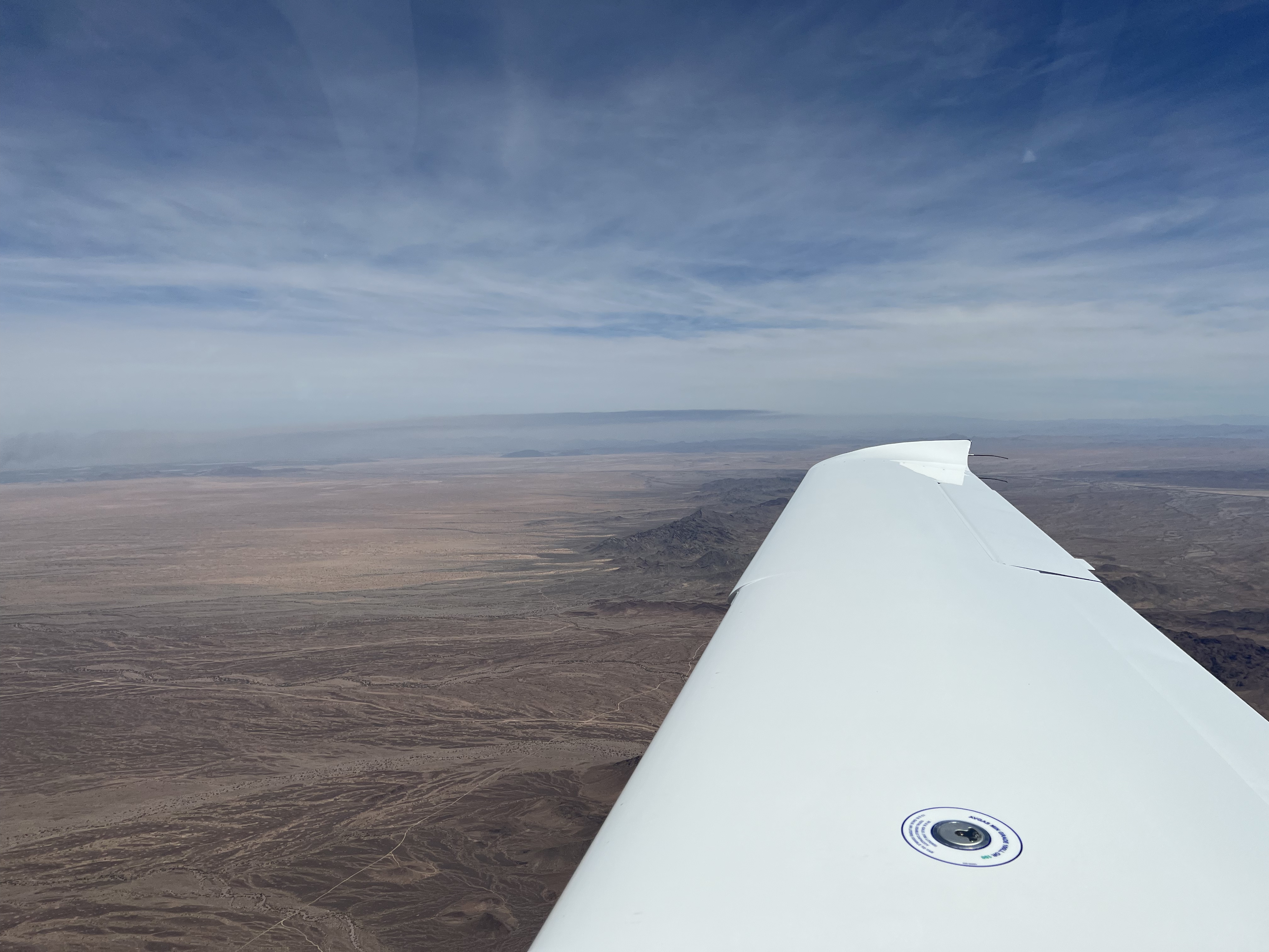
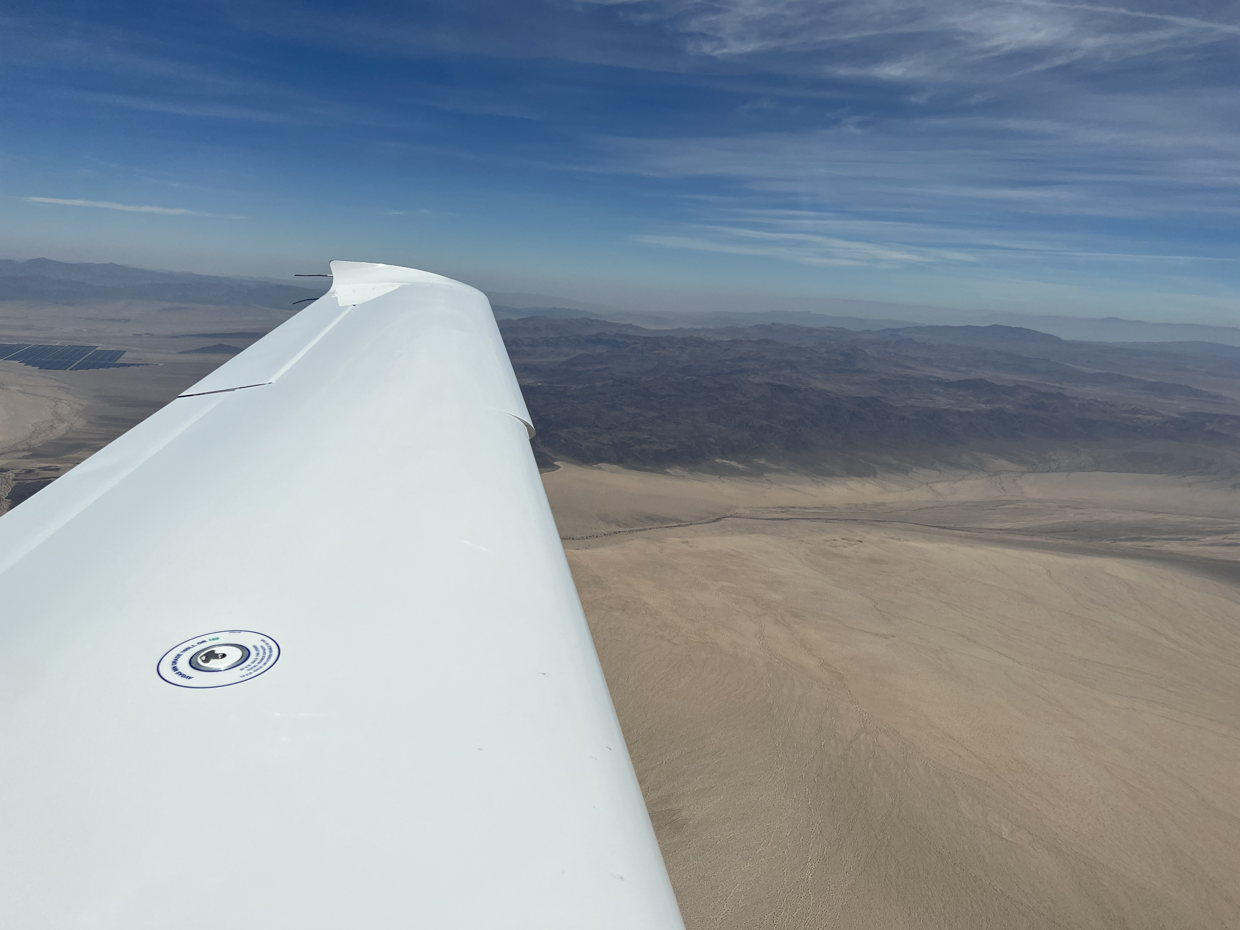
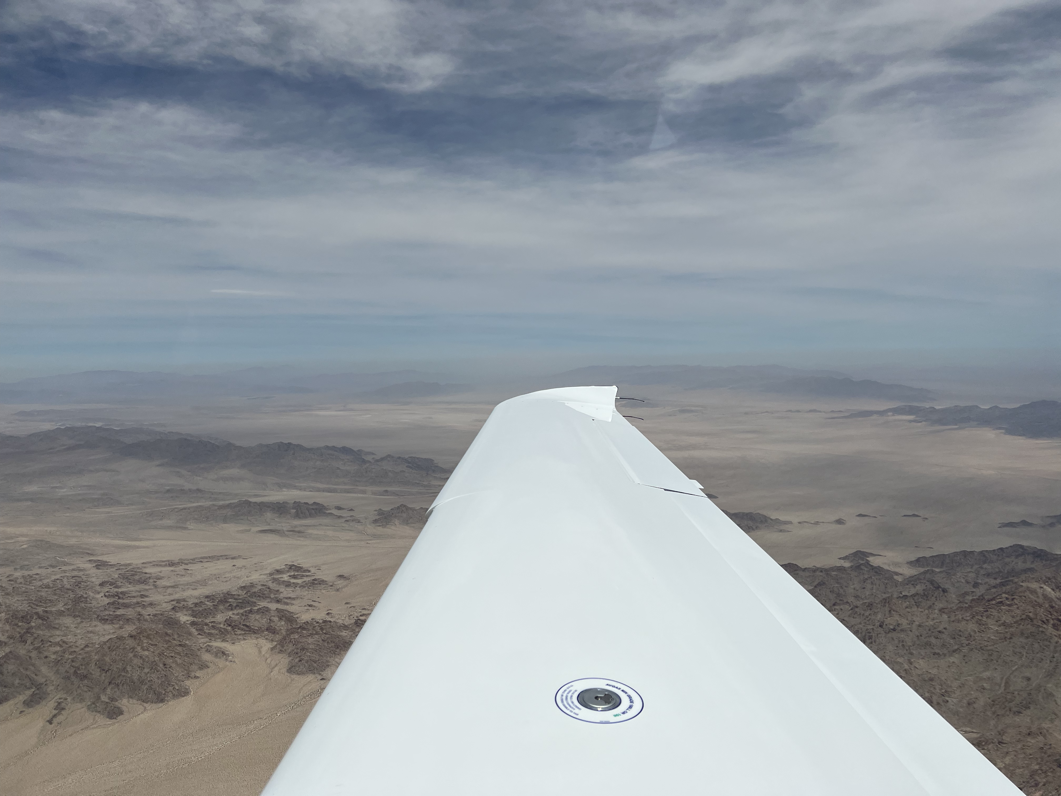
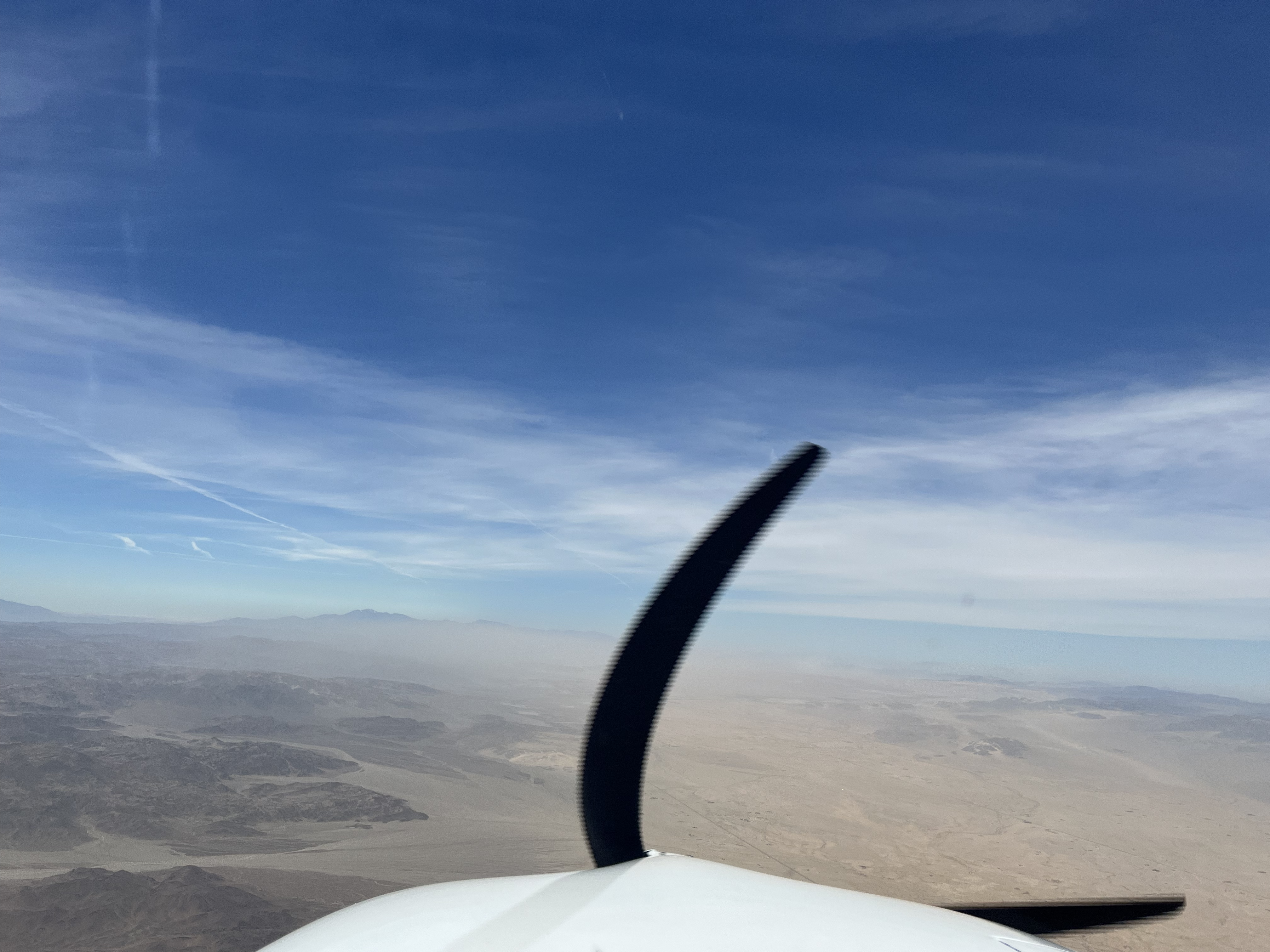
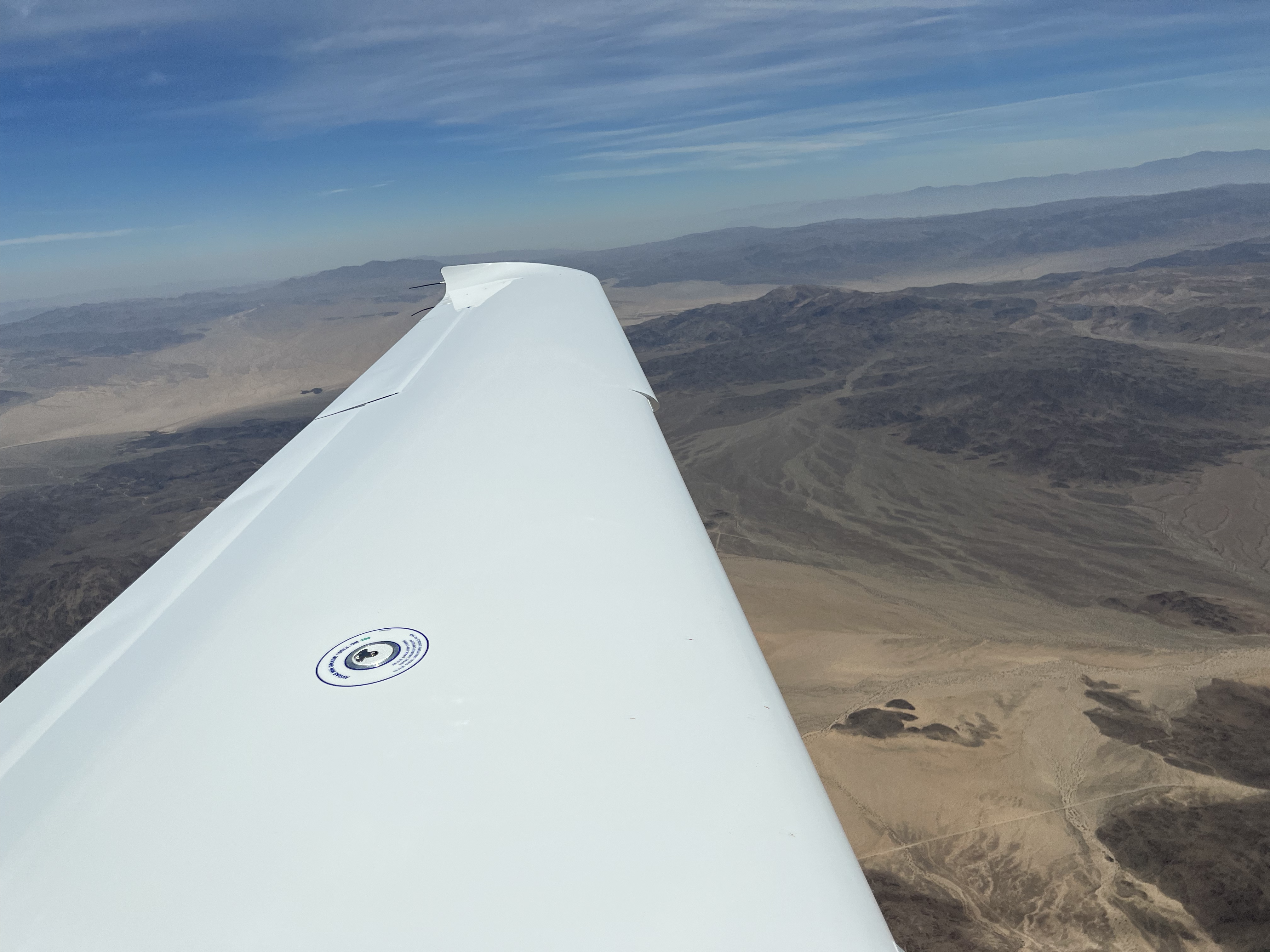
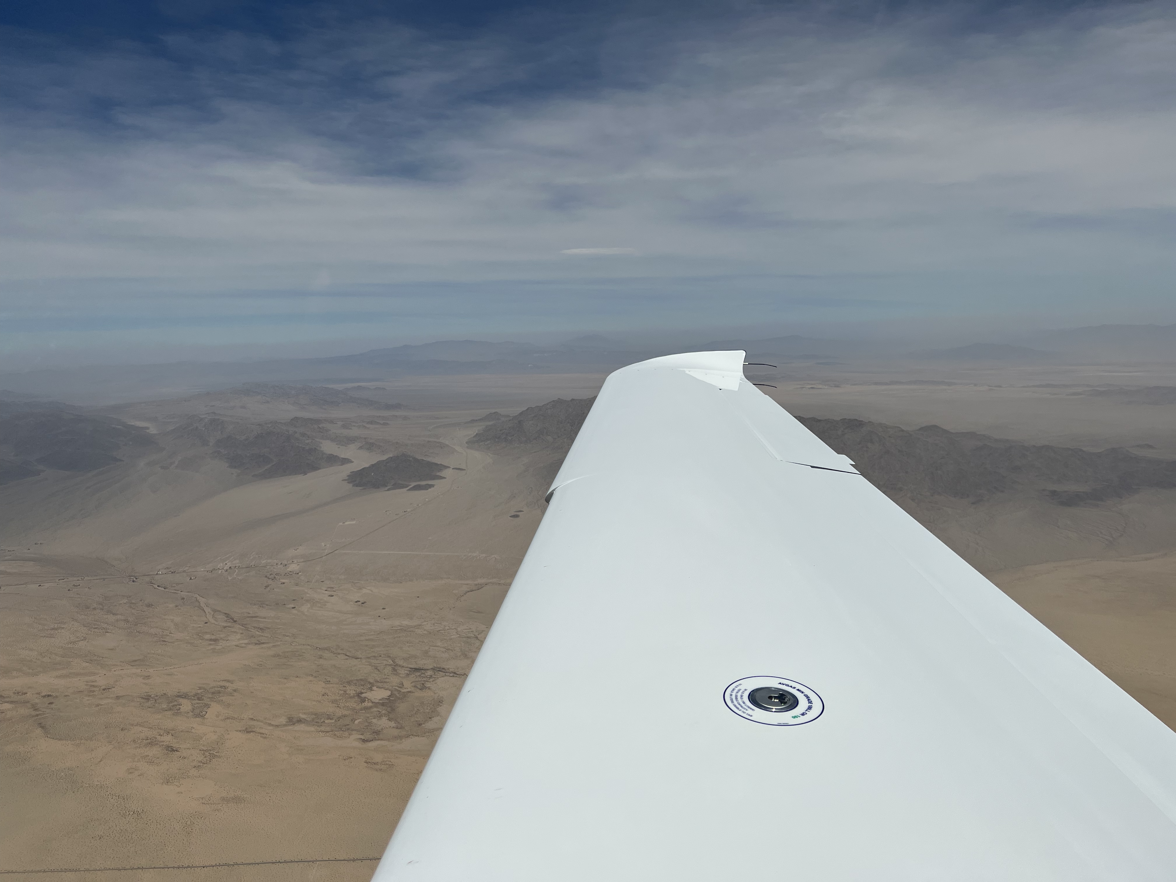
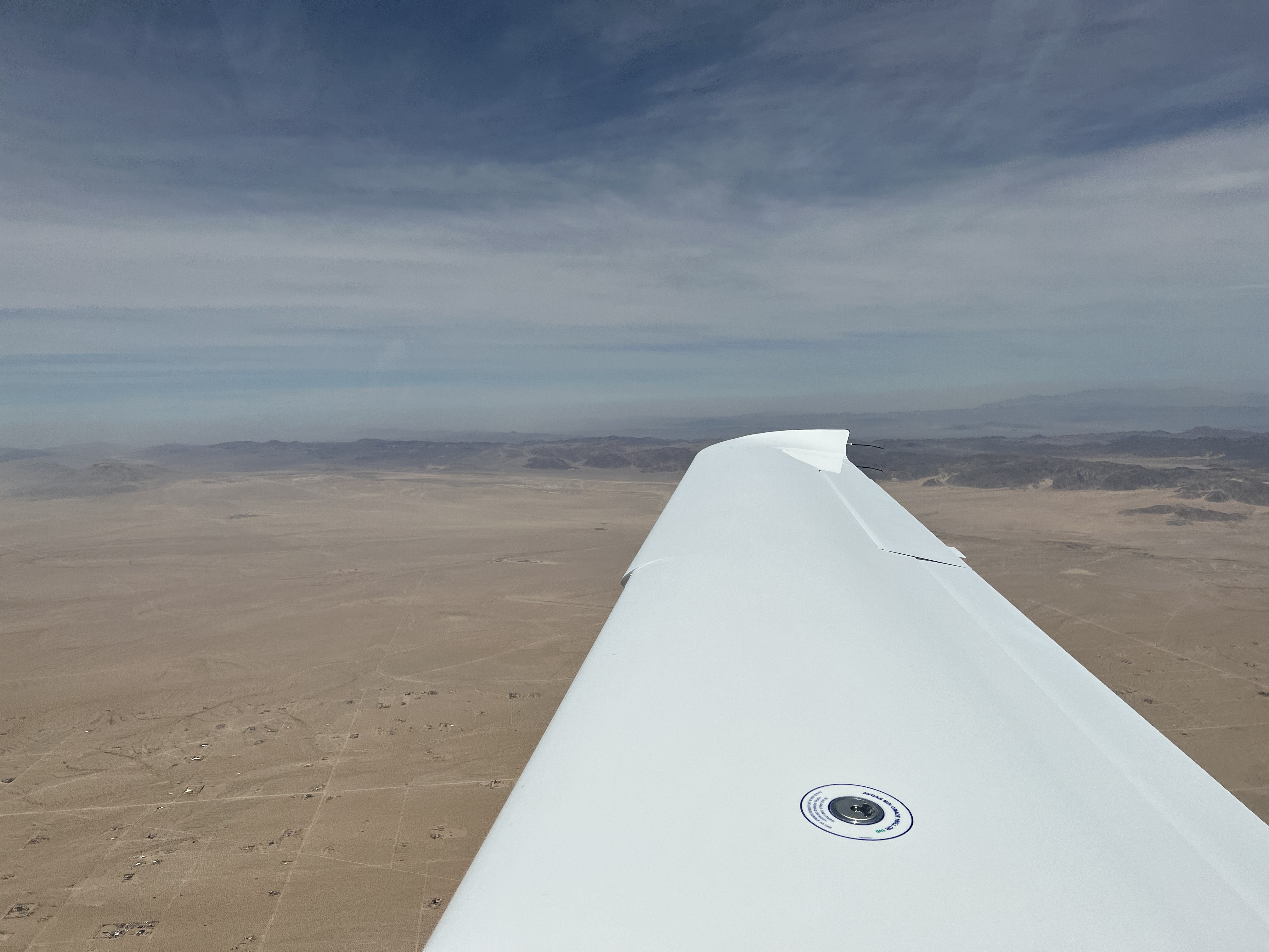
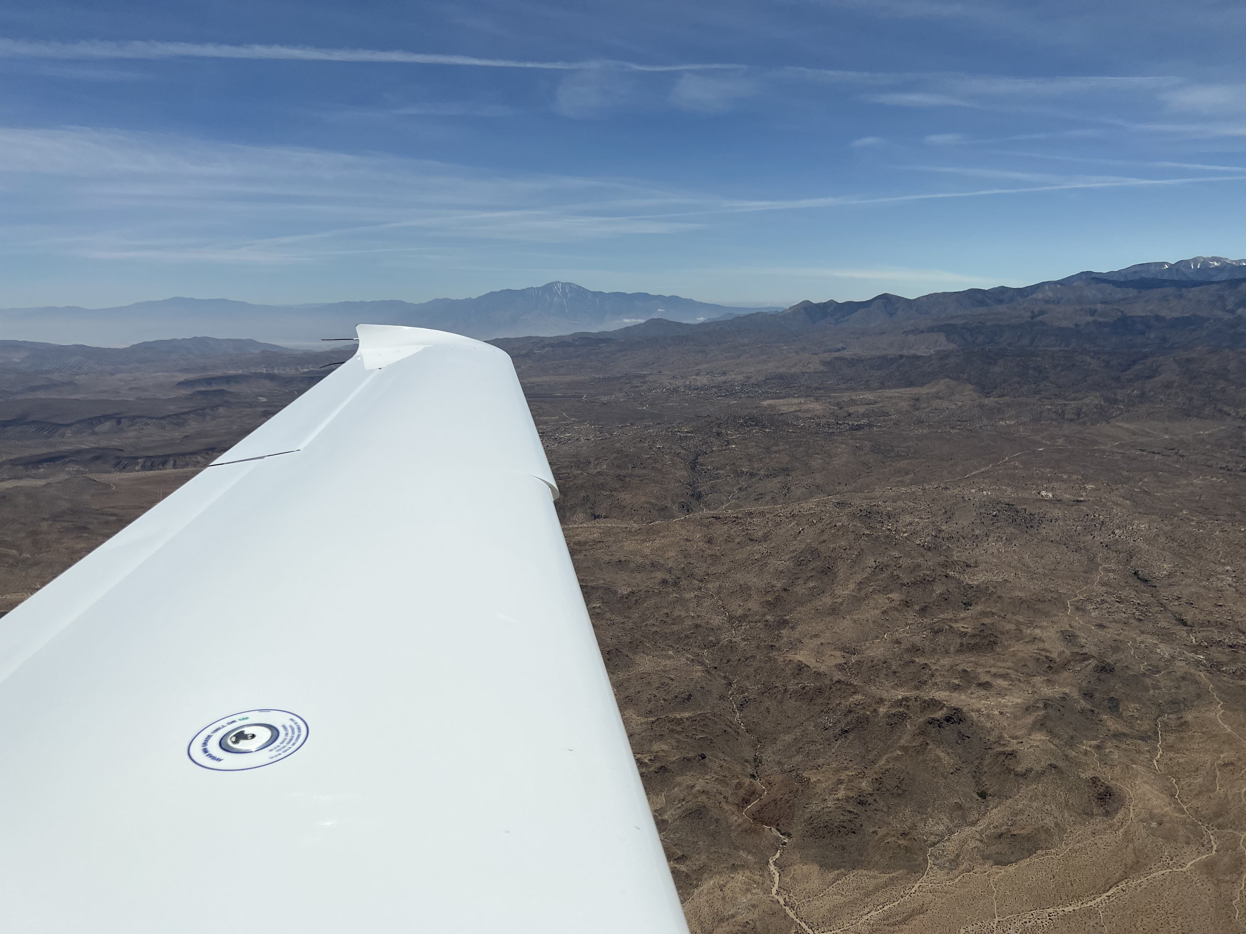
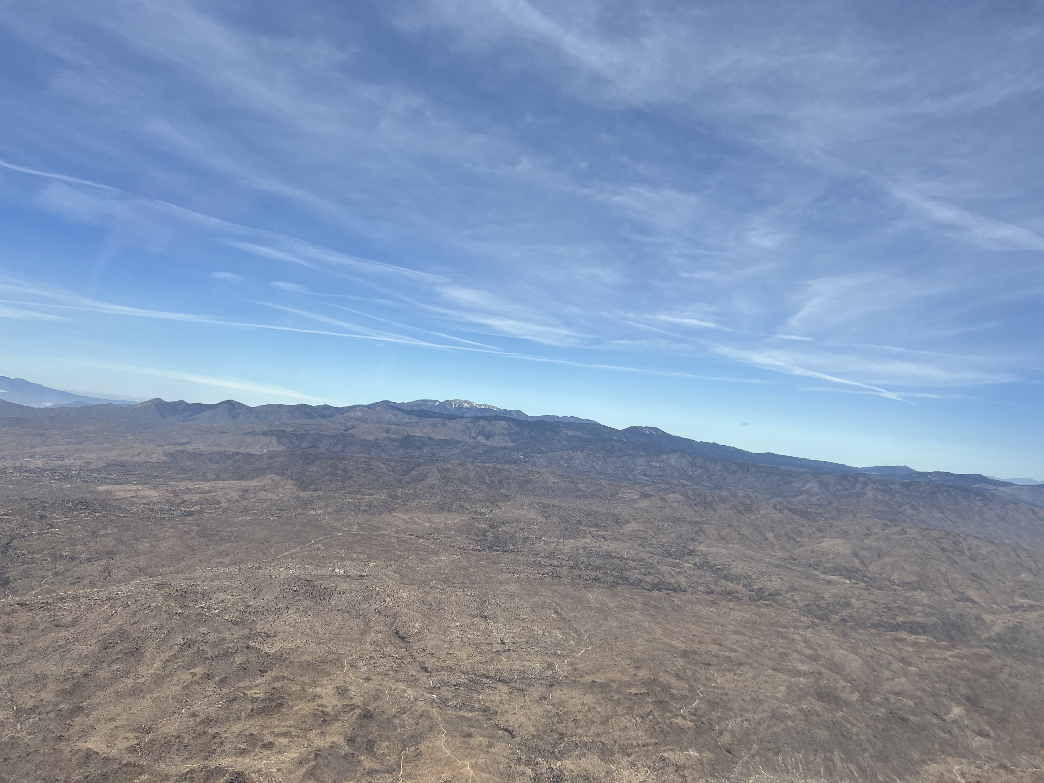
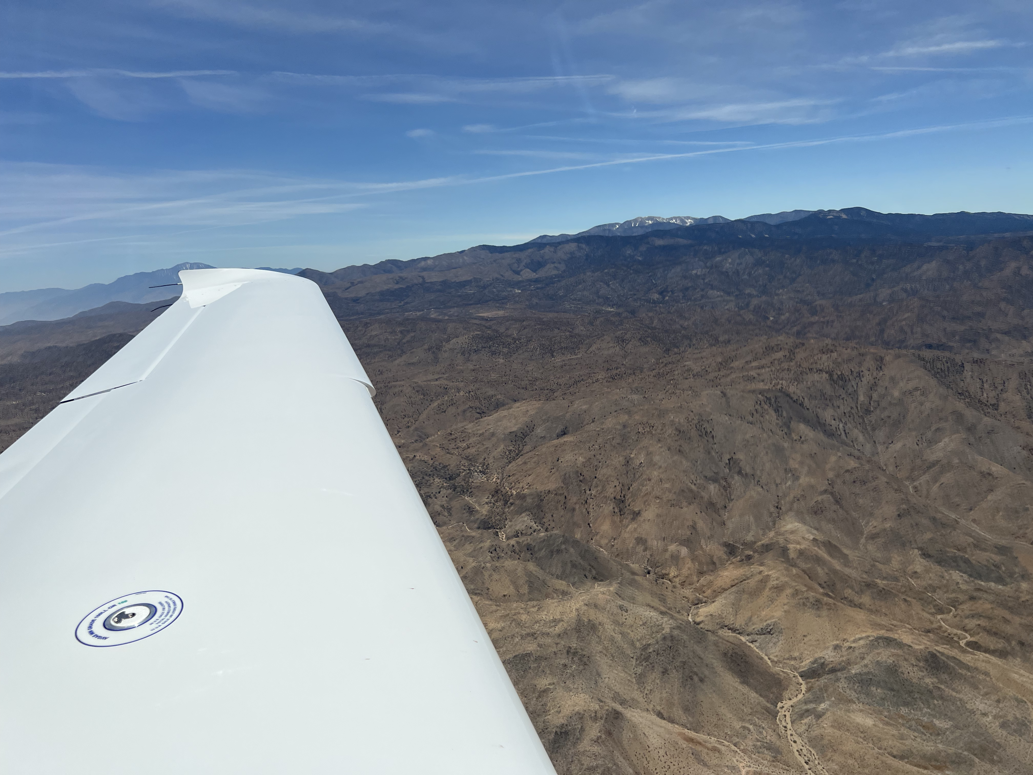
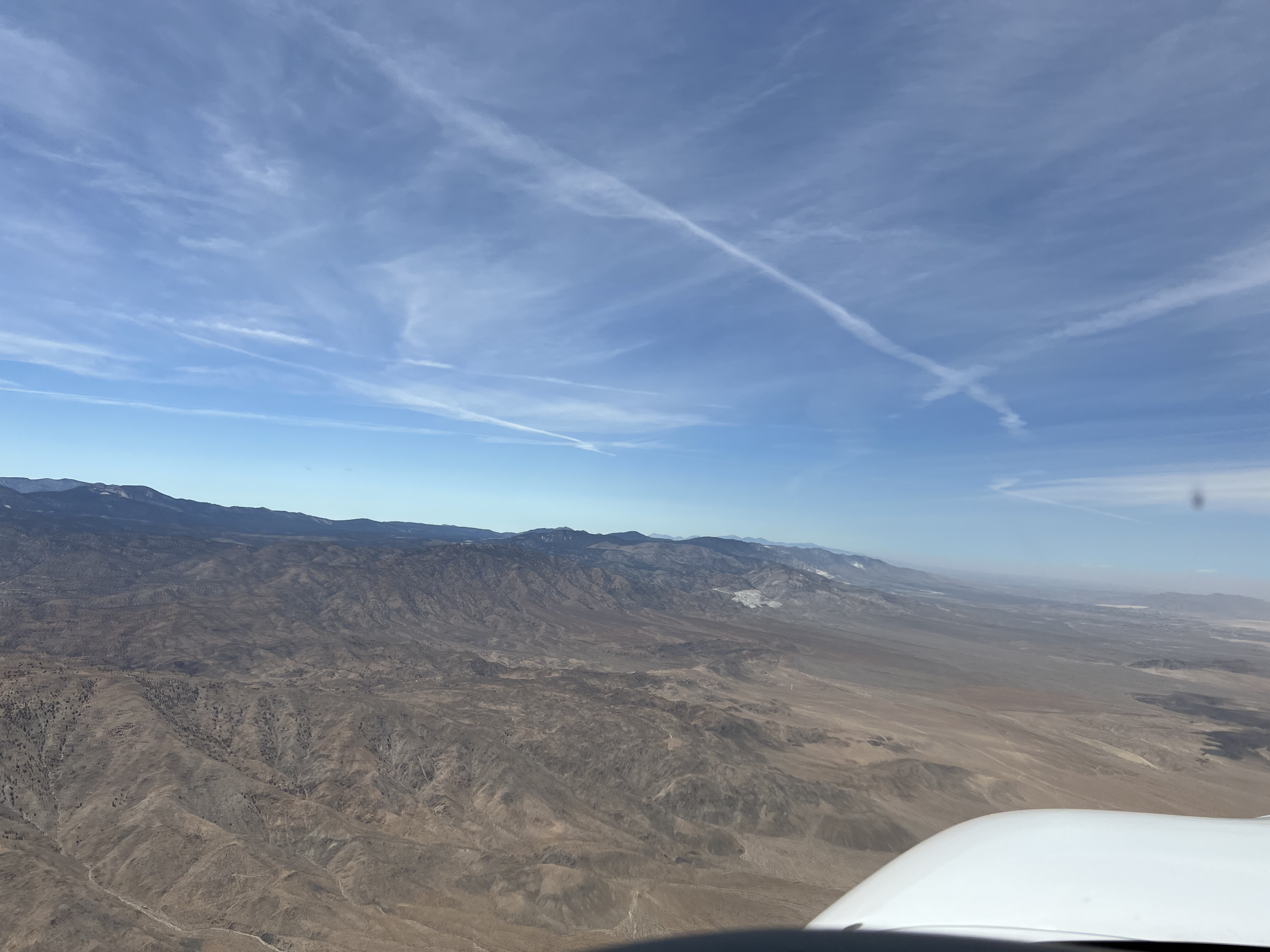
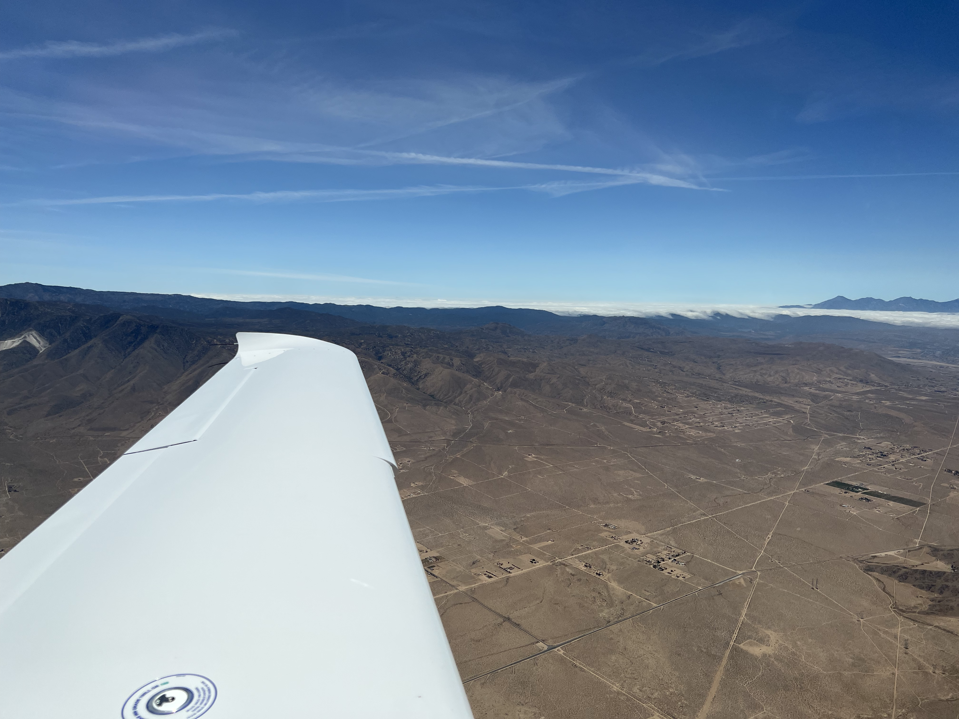
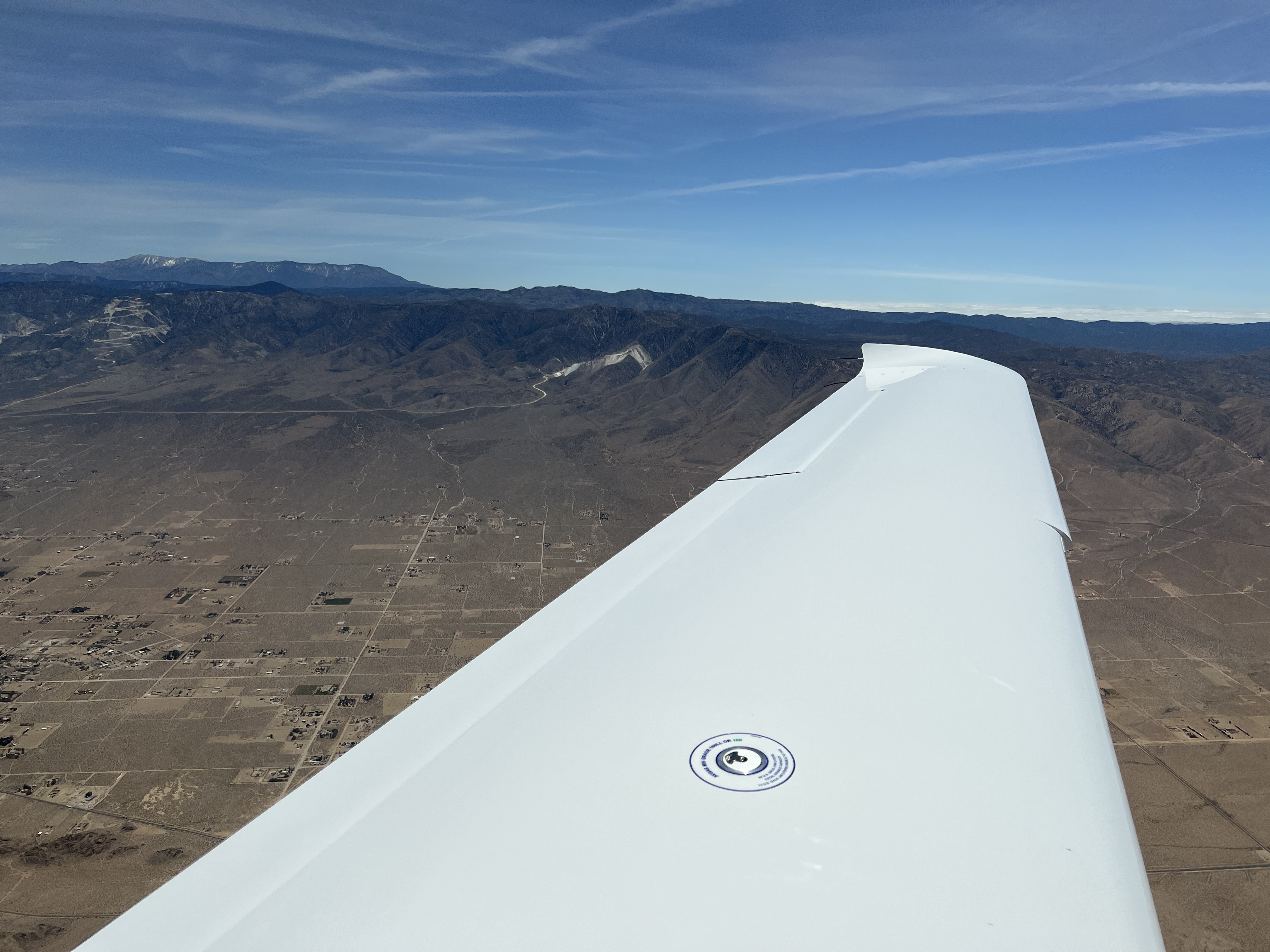
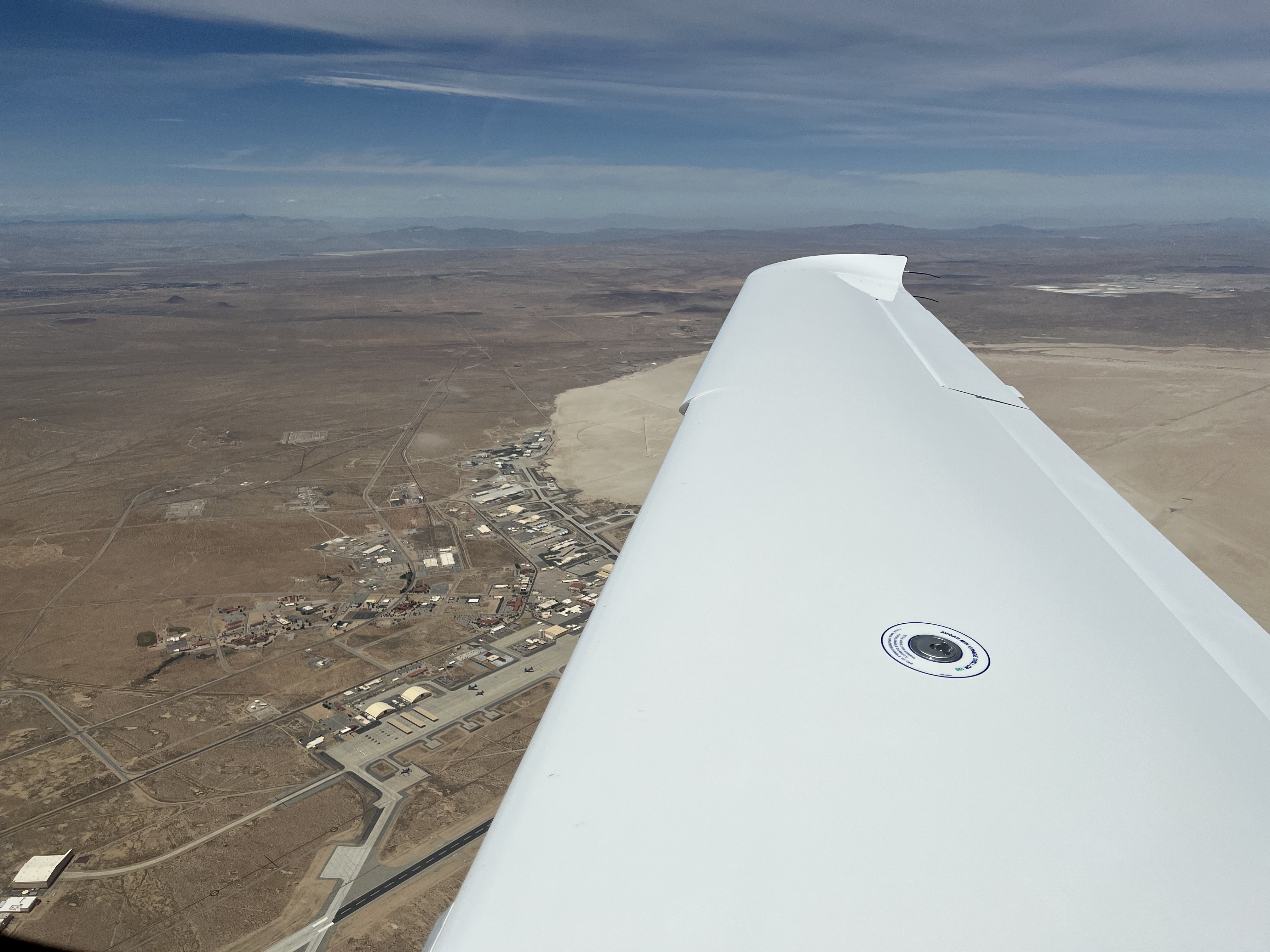
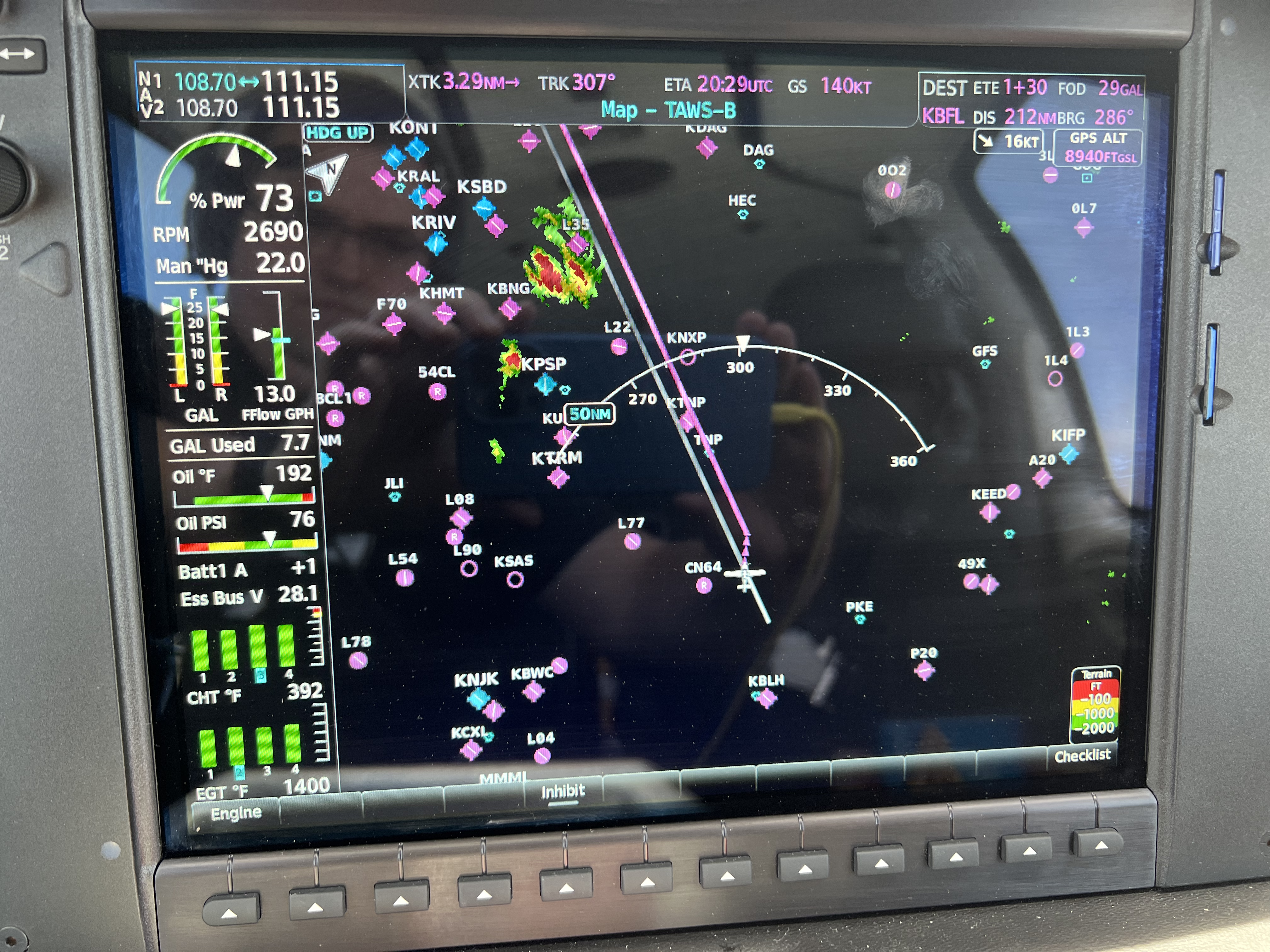
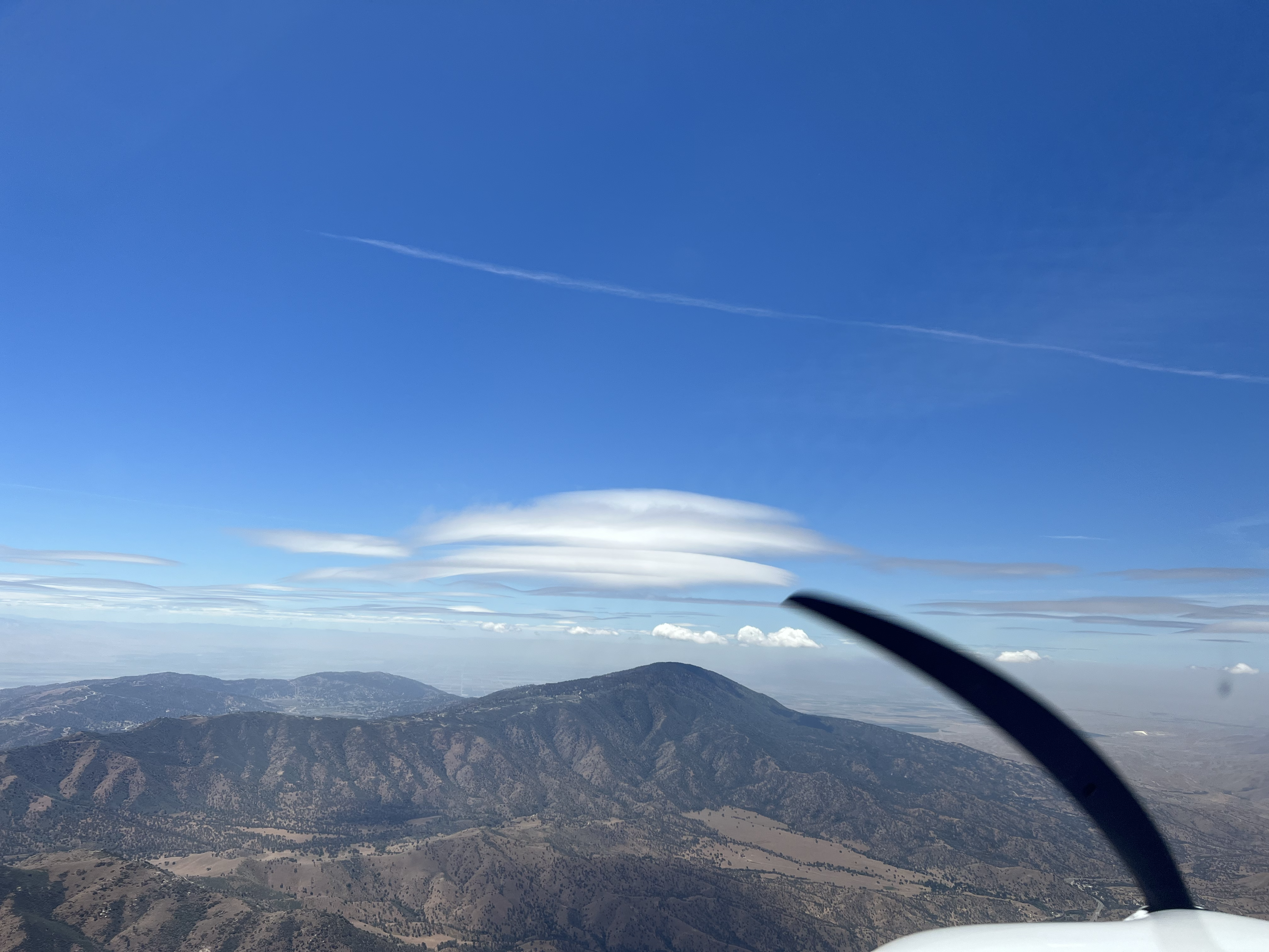
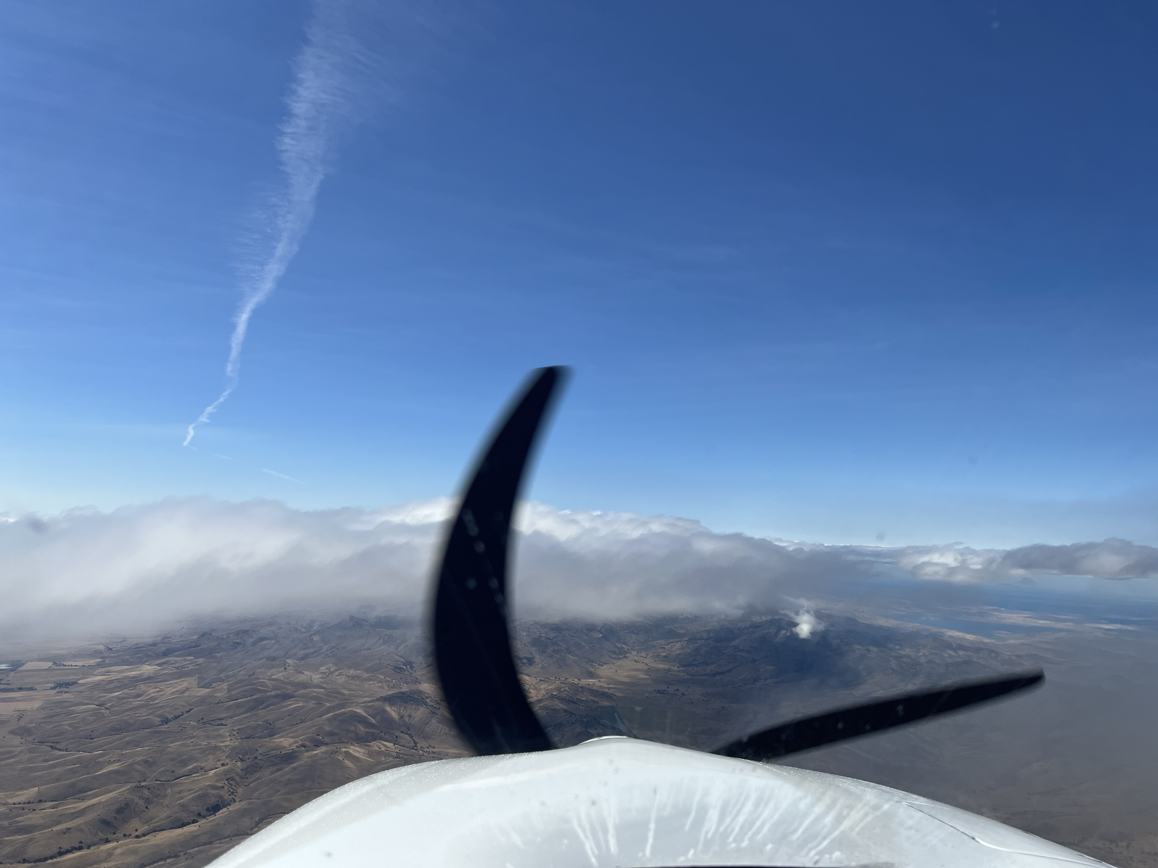
Initially, I had planned to fly from Blythe, CA (KBLH) to Bakersfield, CA (KBFL), which is just beyond the mountains on the southern border of the central valley. Once I departed Blythe, I had to do a climb over the airport to 8500' to make it over the mountain ranges that circled the airport and surrounding areas, My flight path took me right passed the Victorville airport (KVCV), which was a graveyard of sorts for retired commercial jets. I also flew passed Edwards Air Force Base (KEDW), which looked like most of its runways were covered in dust/dirt. They had a huge compass marked in the dirt and runway numbers as well. Just passed KEDW was the mountain range that borders the central valley. As I was crossing the mountain range, autopilot was engaged with a GPS waypoint of KBFL and an altitude bug set to 8500'. At one point, the autopilot started pitching up, airspeed dropped from a cruise airspeed of ~130 knots to ~96 knots, and I was losing altitude. Once I realized what the autopilot was doing, I disconnected the autopilot and hand flew the aircraft while tryign to maintain altitude. Eventually I passed through the apparent downdraft, and was able to climb back to 8500' and maintain a normal cruise airspeed. After I made it passed the mountain range, I determined that I had enough i fuel to make it further into the valley to Paso Robles, CA (KPRB). I was glad I flew to KPRB, because it was an easy fuel stop and much closer to my ultimate destination.
- Departure: KBLH (Blythe, CA), field elevation: 400'
- Arrival: KPRB (Paso Robles, CA), field elevation: 839'
- Hobbs Time: 2.9 hours
- Highest Flight Altitude: 9,000'
- Approach: Visual RWY 19
- Date/Time: 2022-05-28, 12:01PM to 2:46PM (PDT)
- Fuel: $7.98 per gallon @ KPRB for 38.8 gallons = $309.62
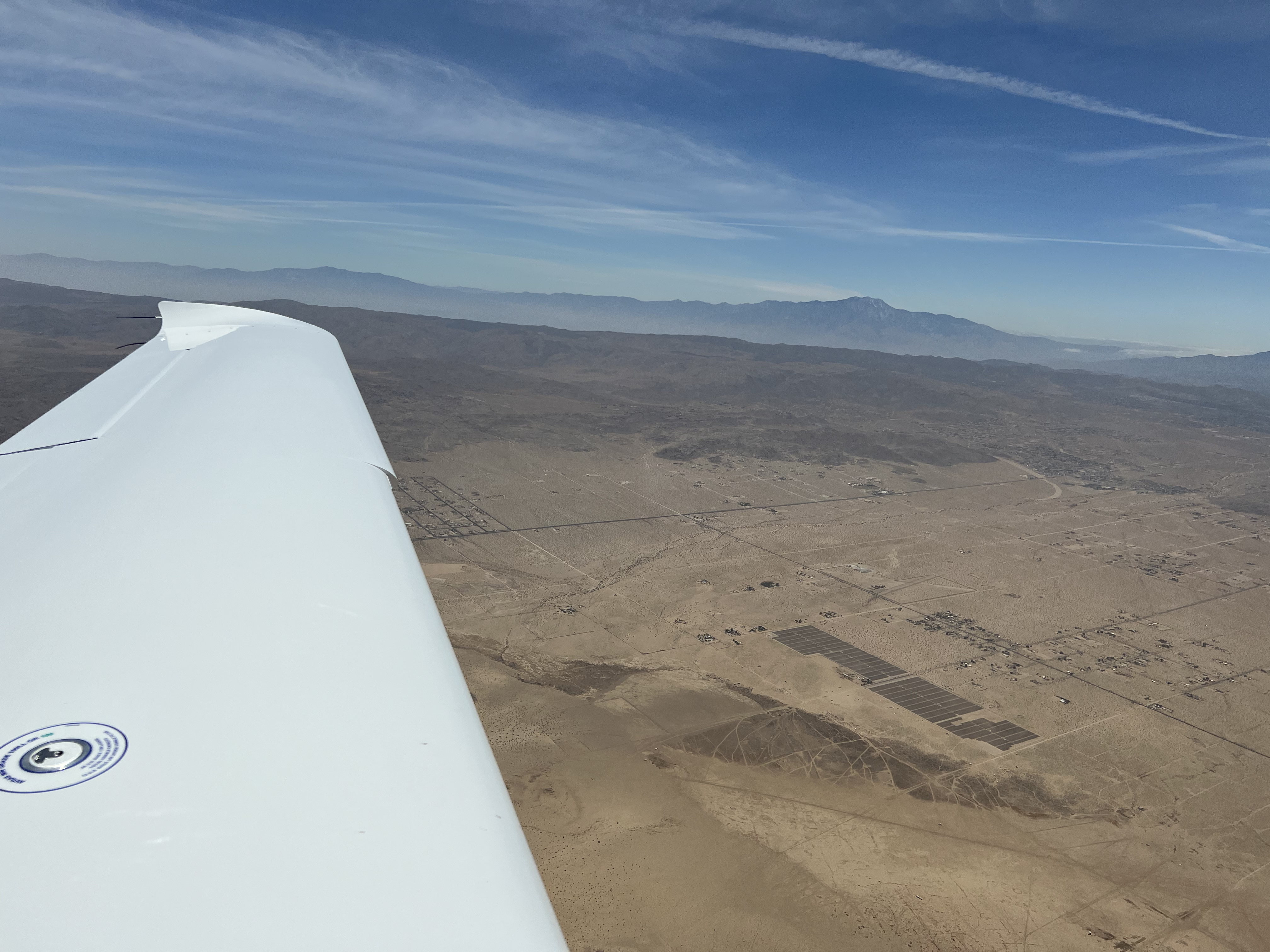

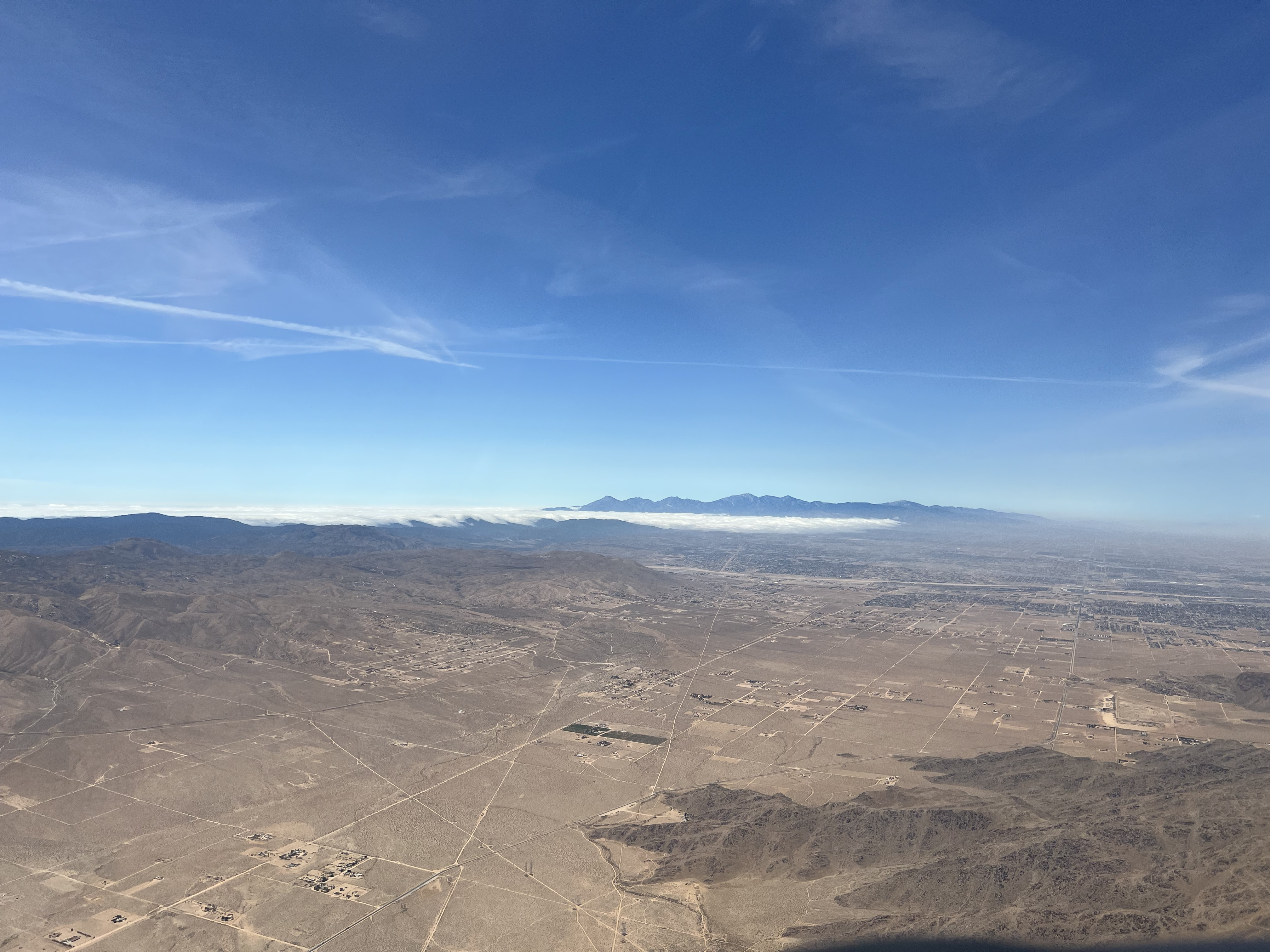

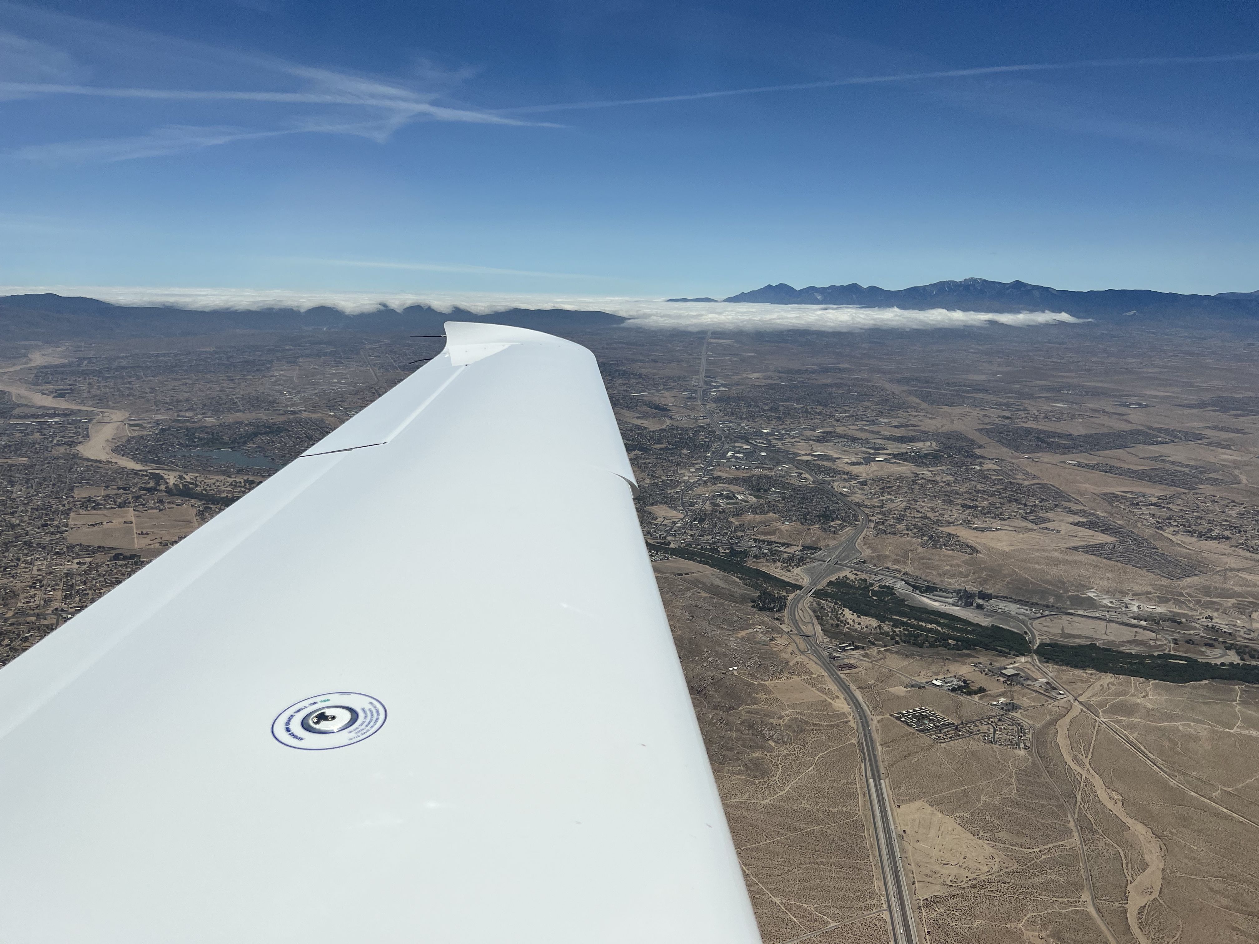

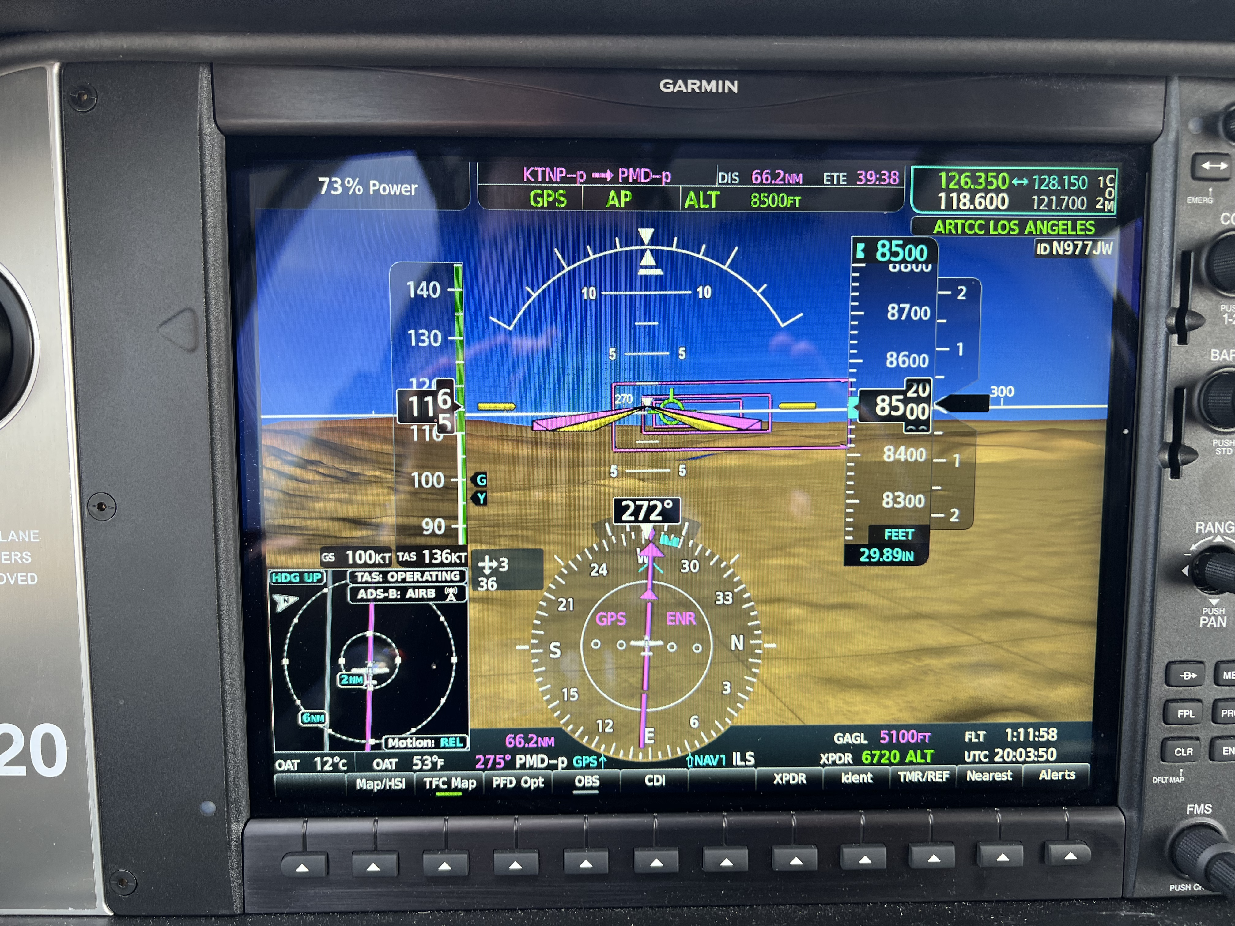


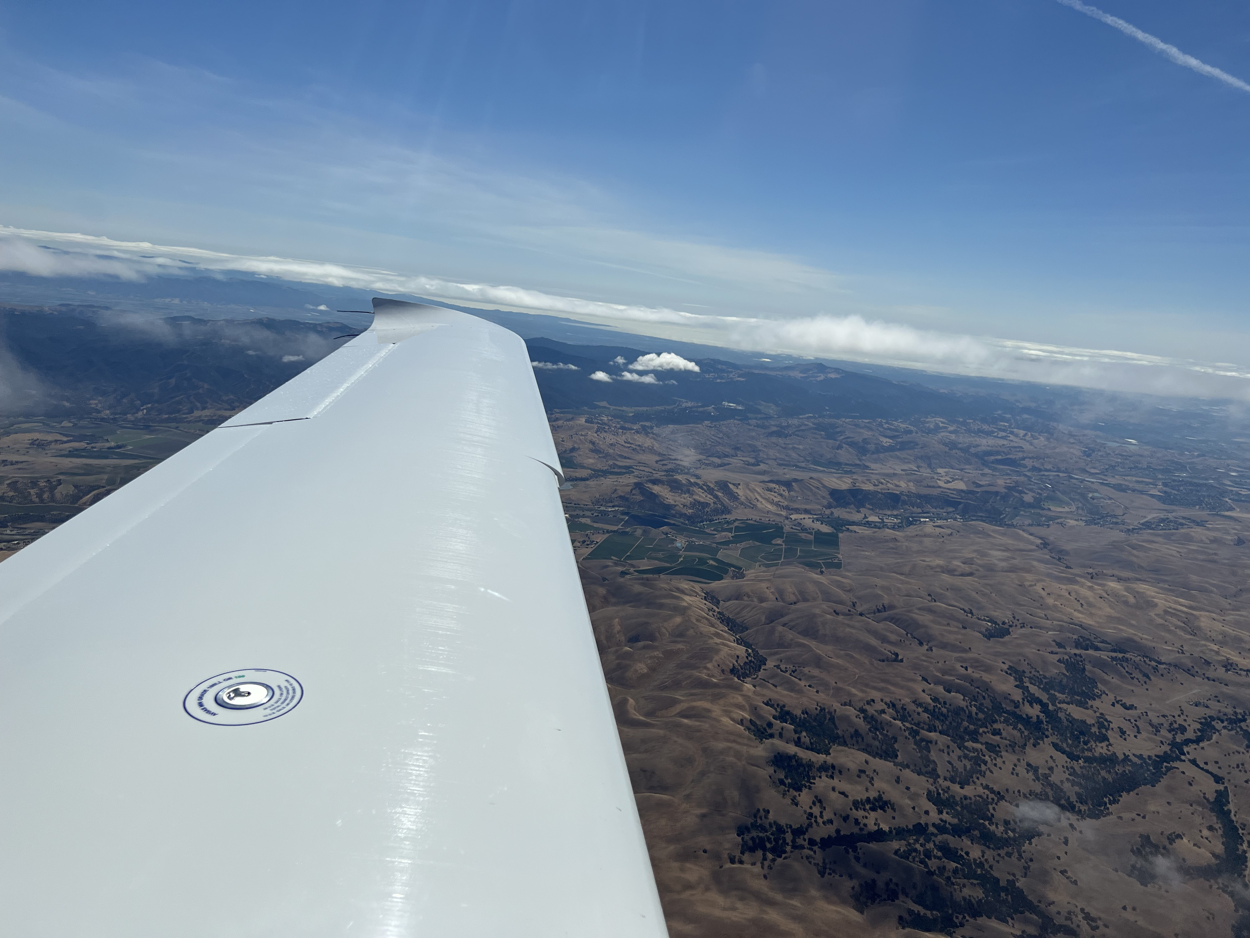
2022-05-28: KPRB to KAPC
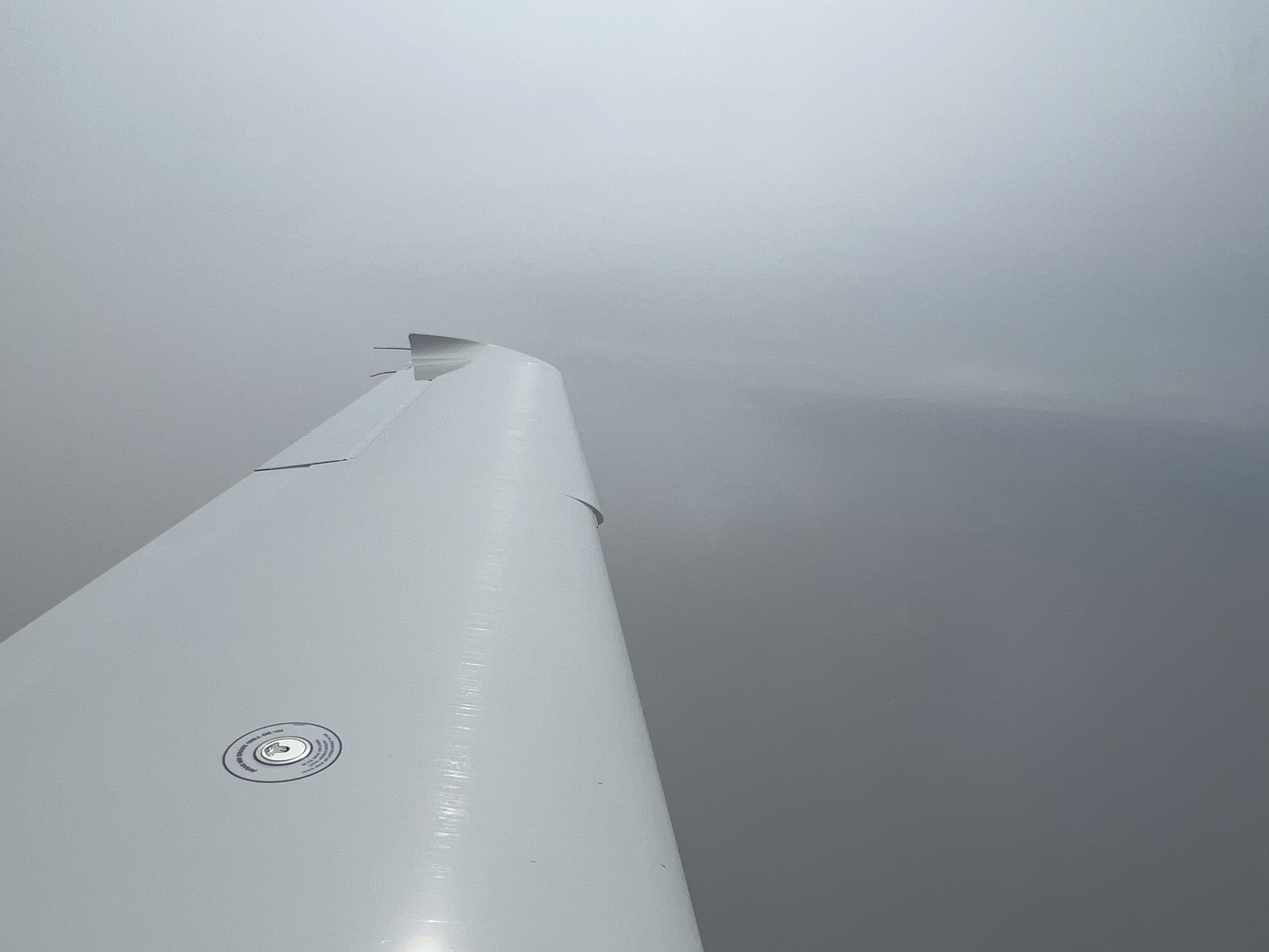
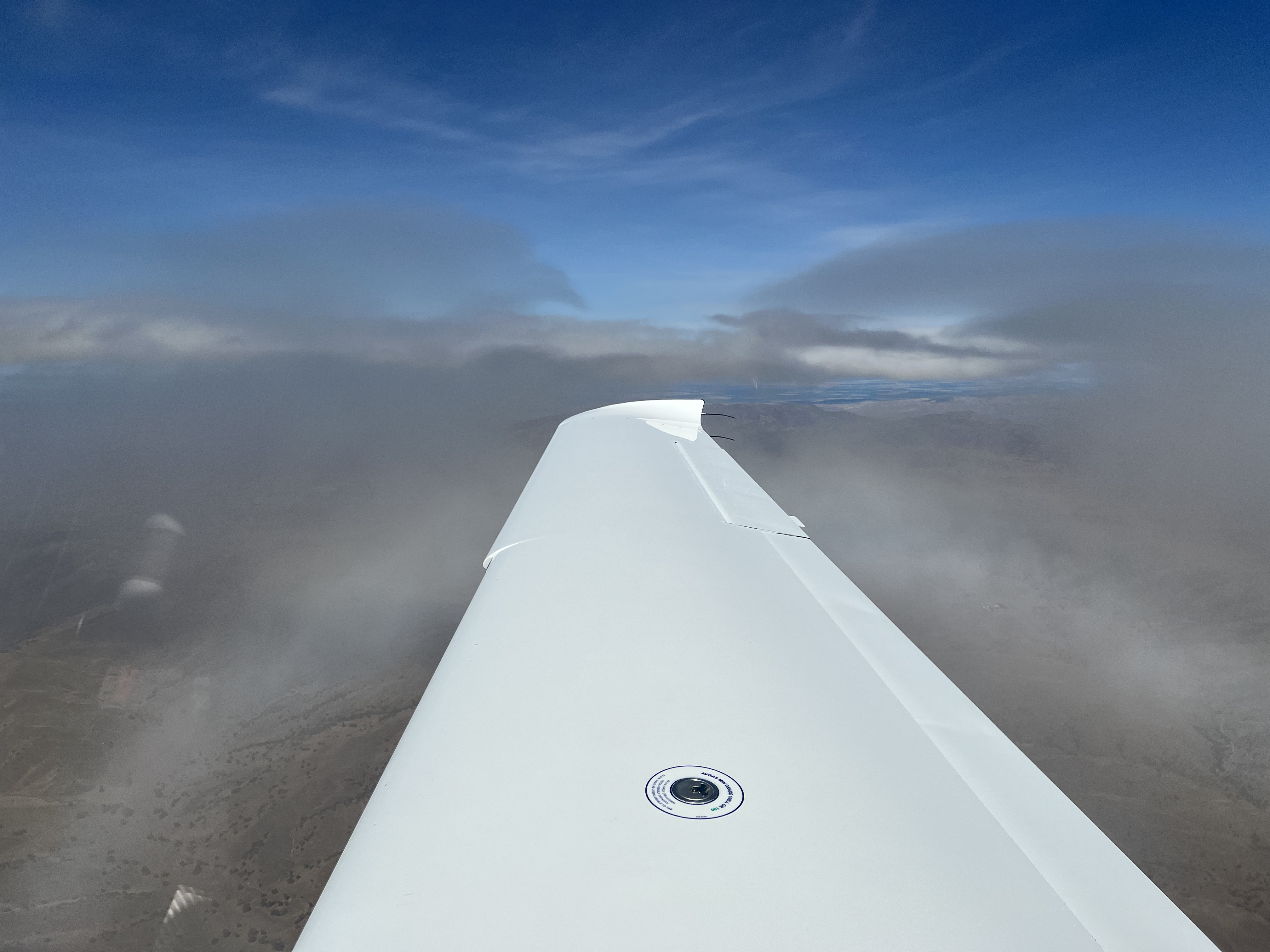
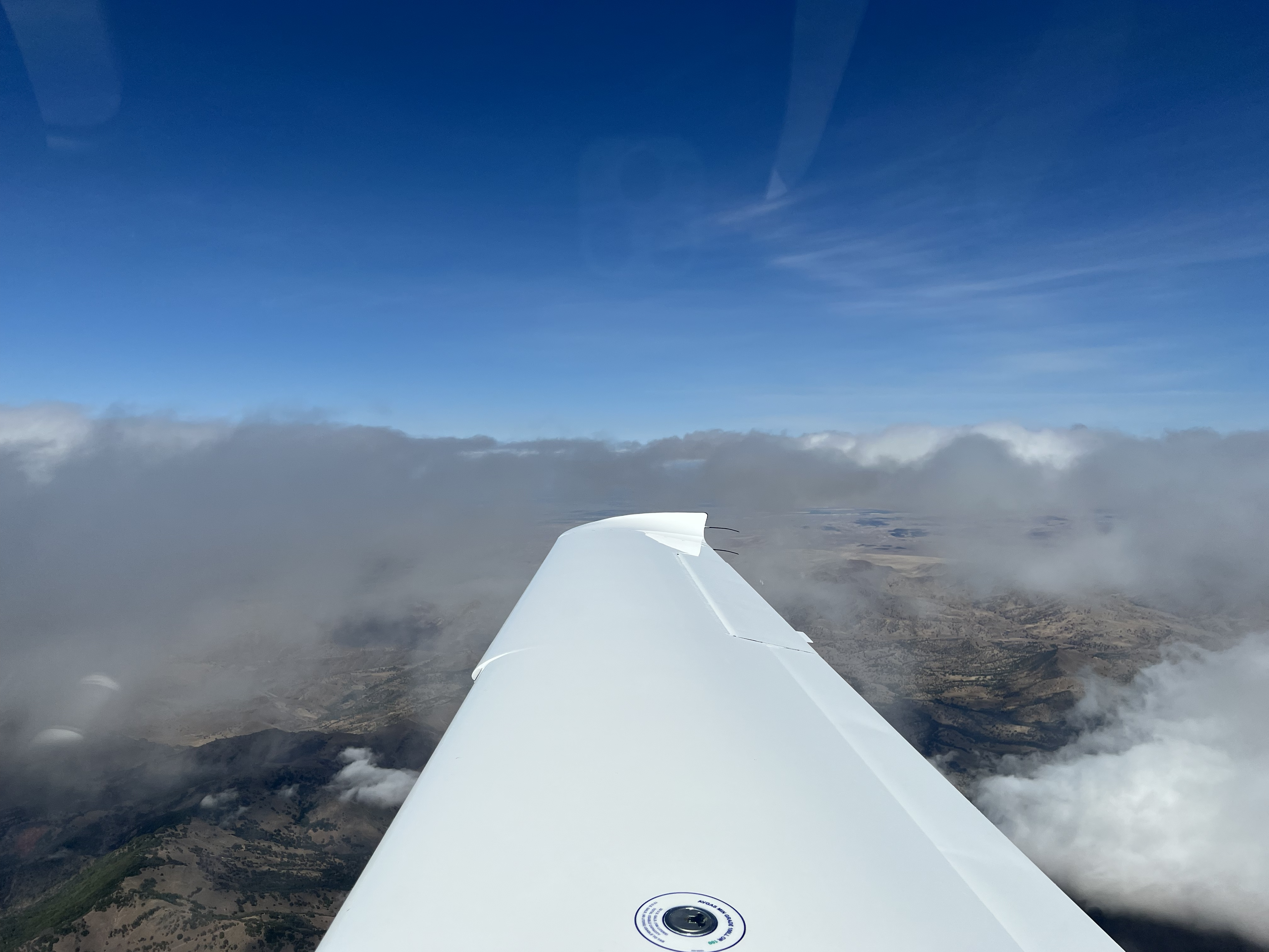
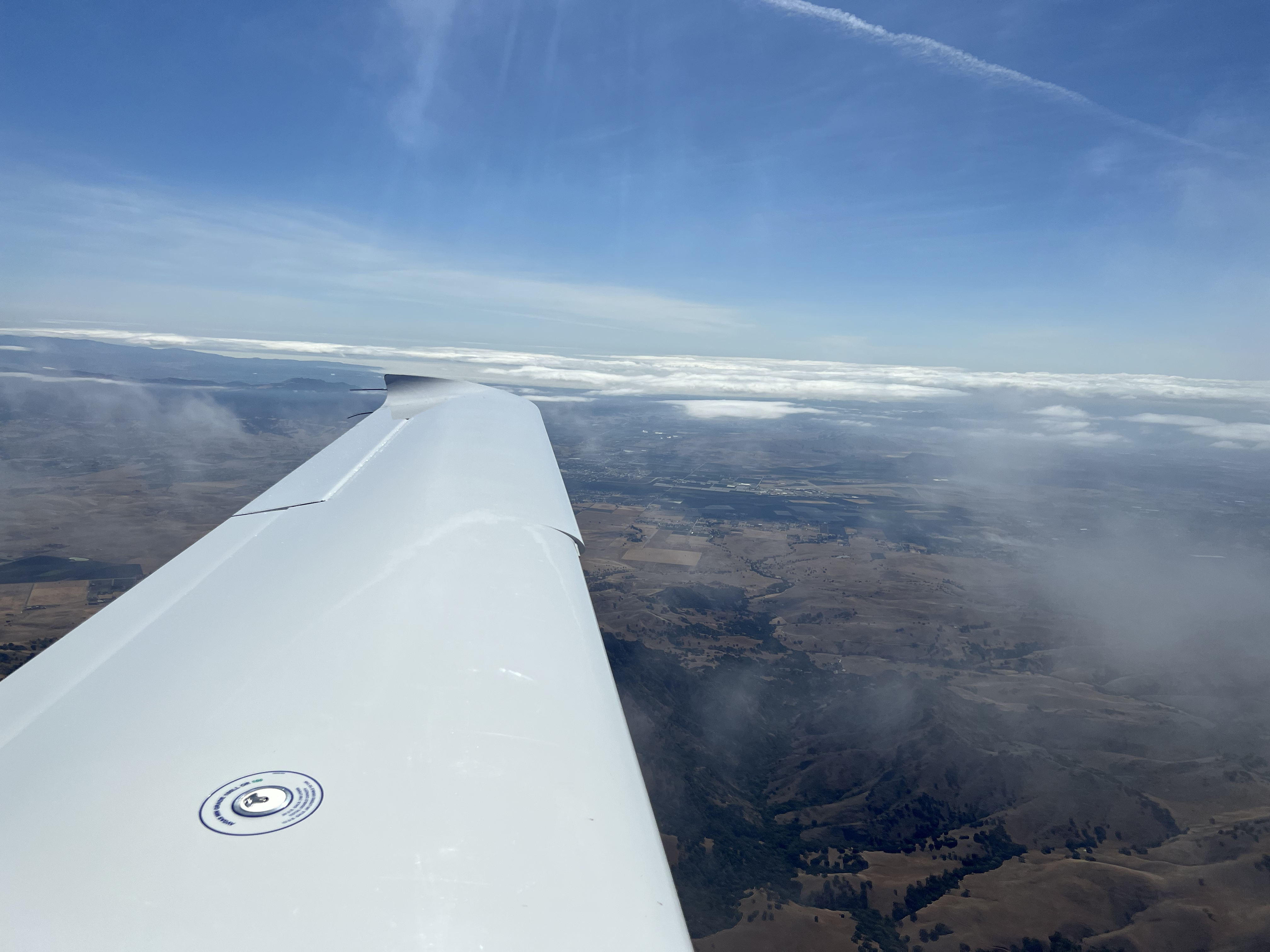
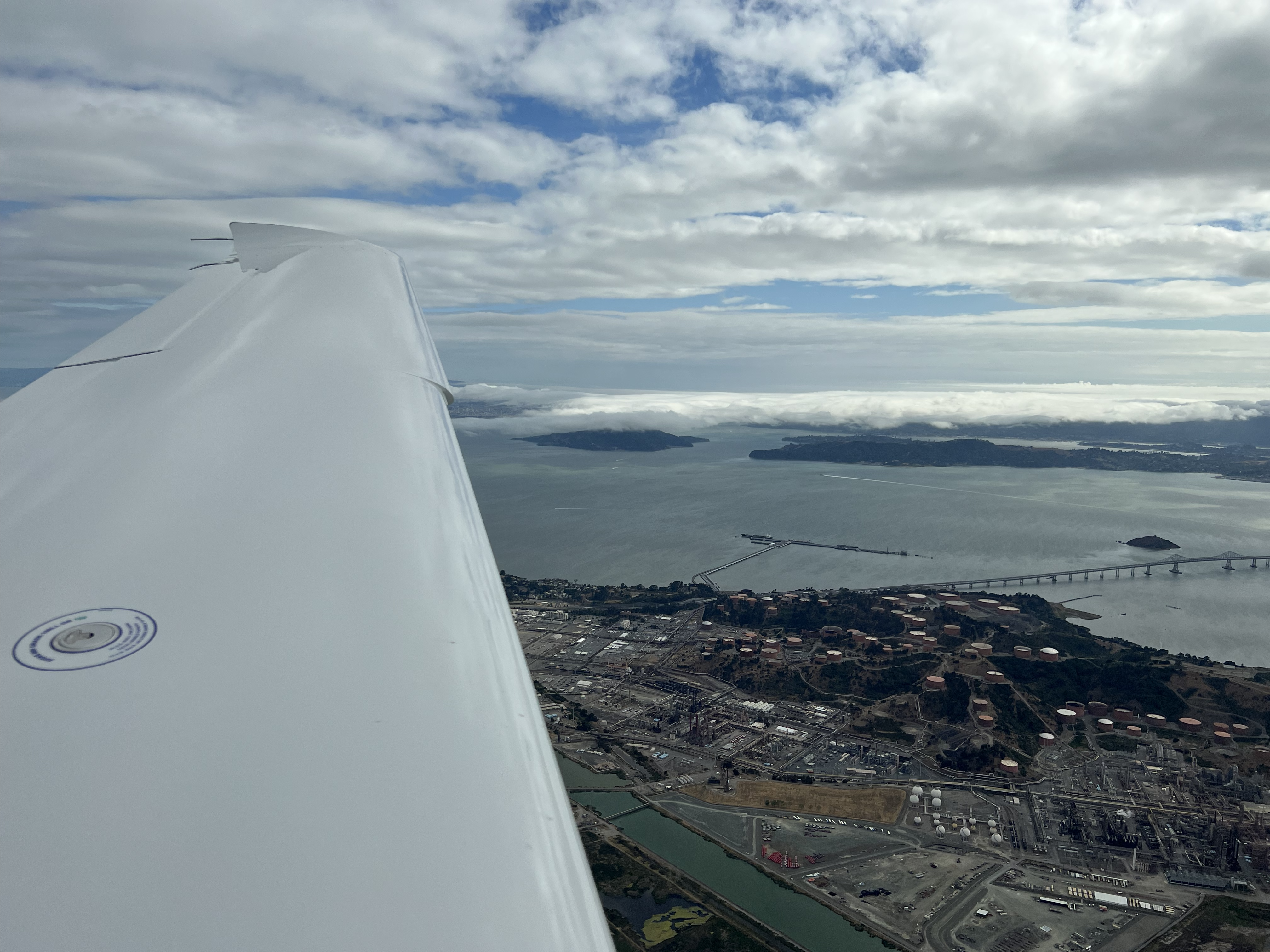
I departed KPRB on a VFR flight plan with flight following to KAPC. Shortly after climbing to 6500', I noticed some clouds ahead, and requested a pop-up IFR clearance. Initially ATC advised me to climb to 8000' and maintain present heading while they figured out a route for me to KAPC. Eventually they advised to fly direct KARNN, BORED, BUSHY, SUNOL, SGD, KAPC. Once I got close to SUNOL, then ATC started stepping me down to 3500' and eventually advised to go direct KAPC. When I was transferred to Nor Cal Approach (125.35), I requested to fly the ILS RWY 01 approach starting at FESAV. I forgot to request to fly the course reversal, and Oakland Center repremanded me for not giving them a heads up. I had forgotten to activate vectors to final, and the autopilot proceeded to fly one turn in the hold given the angle I had intersected the final approach course. Eventually, I was cleared to land and circle to left downwind runway 24. When I descended to the circling minimums, I hit the ALT button and switched to heading mode fly a left downwind for runway 24 and landed uneventfully. Julie and the kids greeted me shortly after landing in the transient parking. It was great to see them after almost 2 weeks away from home.
- Departure: KPRB (Paso Robles, CA), field elevation: 839'
- Arrival: KAPC (Napa, CA), field elevation: 36'
- Hobbs Time: 1.8 hours
- Highest Flight Altitude: 8,000'
- Approach: ILS RWY 01
- Date/Time: 2022-05-27, 3:19PM to 4:52PM (PDT)
- Fuel: $8.44 per gallon @ KAPC for 21.2 gallons = $178.93


Cross Country Flight Statistics
- Total Cross Country Hobbs Time: 21.4 hours
- Total Cross Country Flight (Tach) Time: 18.7 hours
- Total Quarts of Oil Used: 2