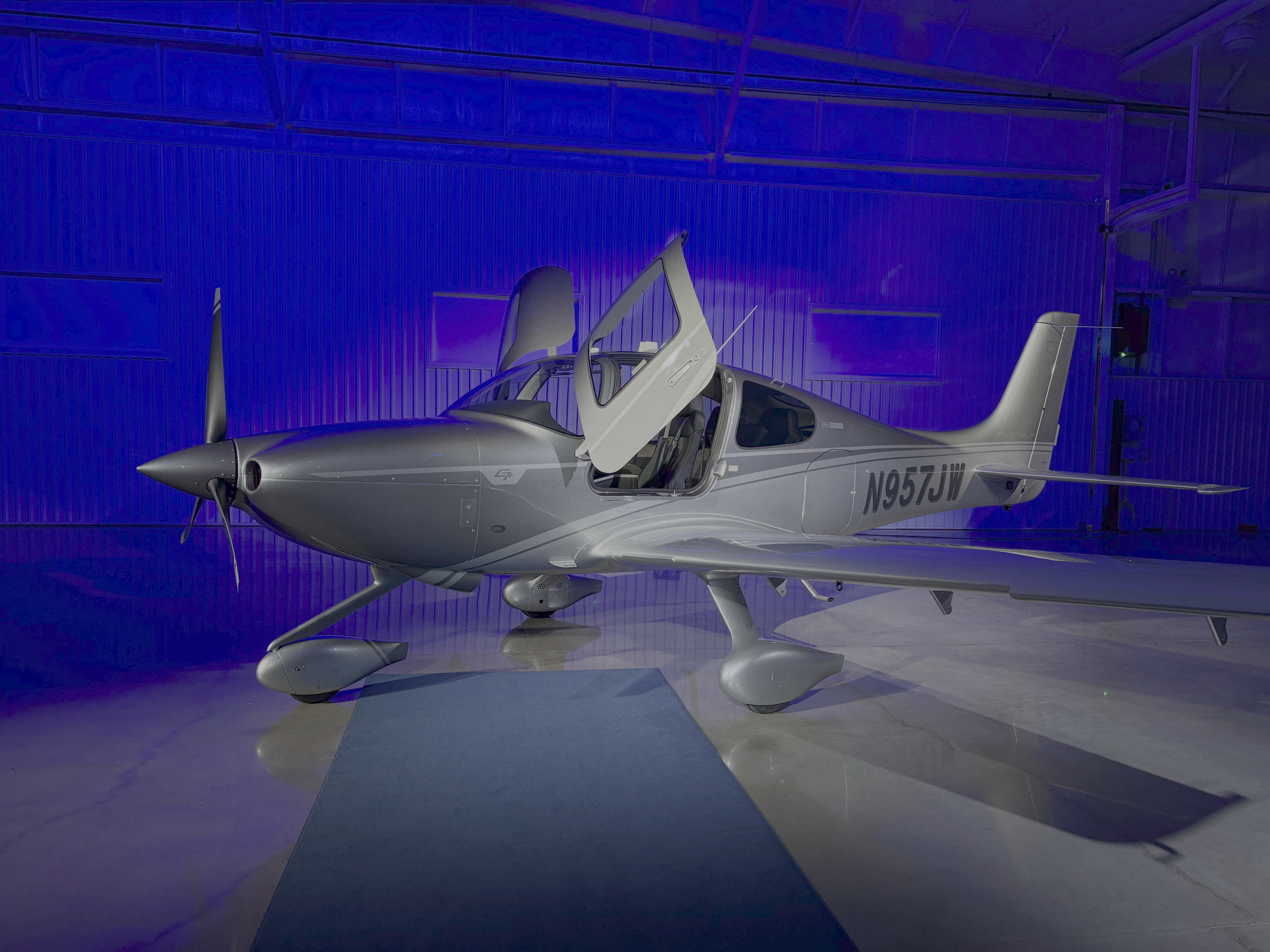
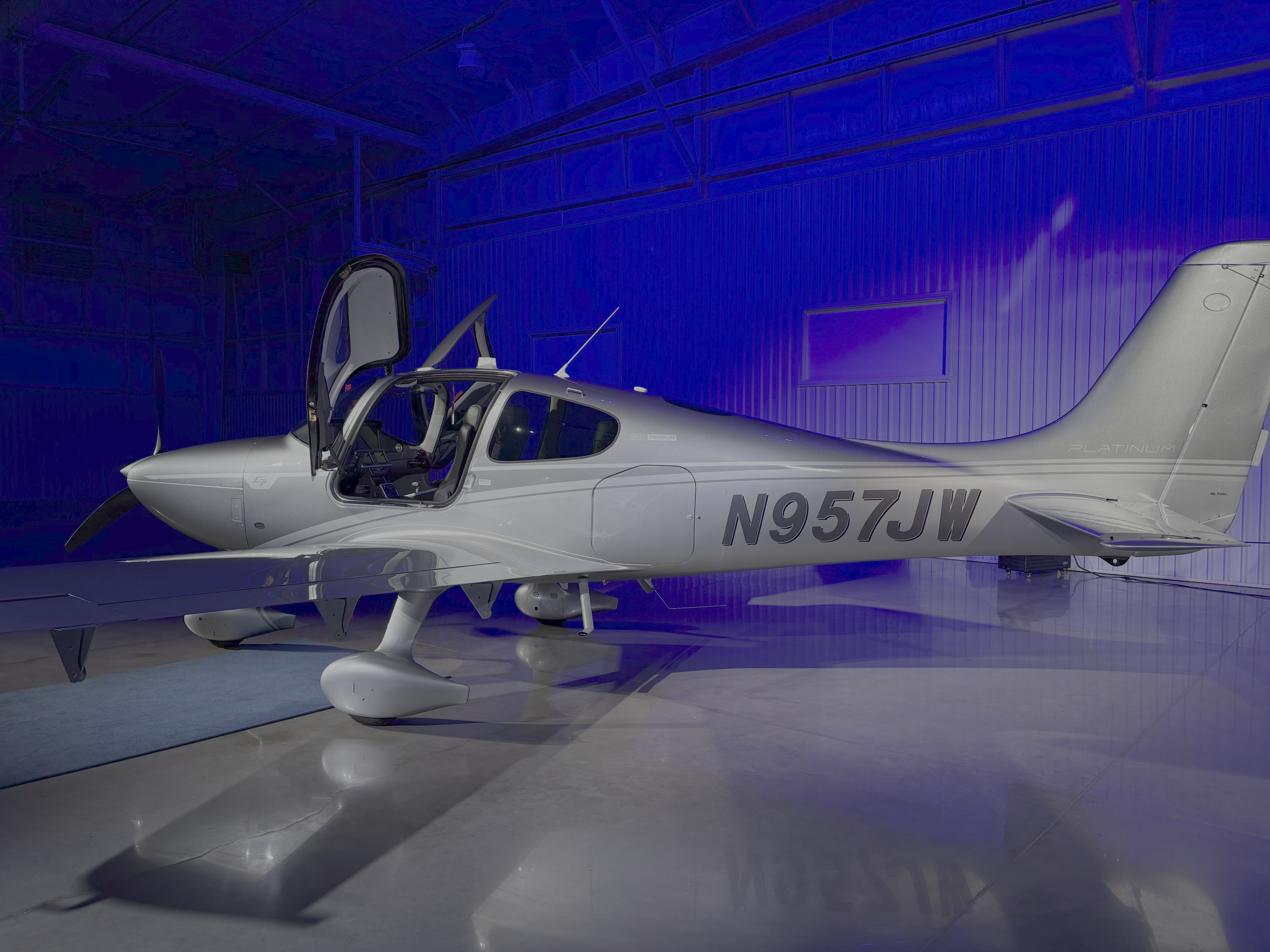
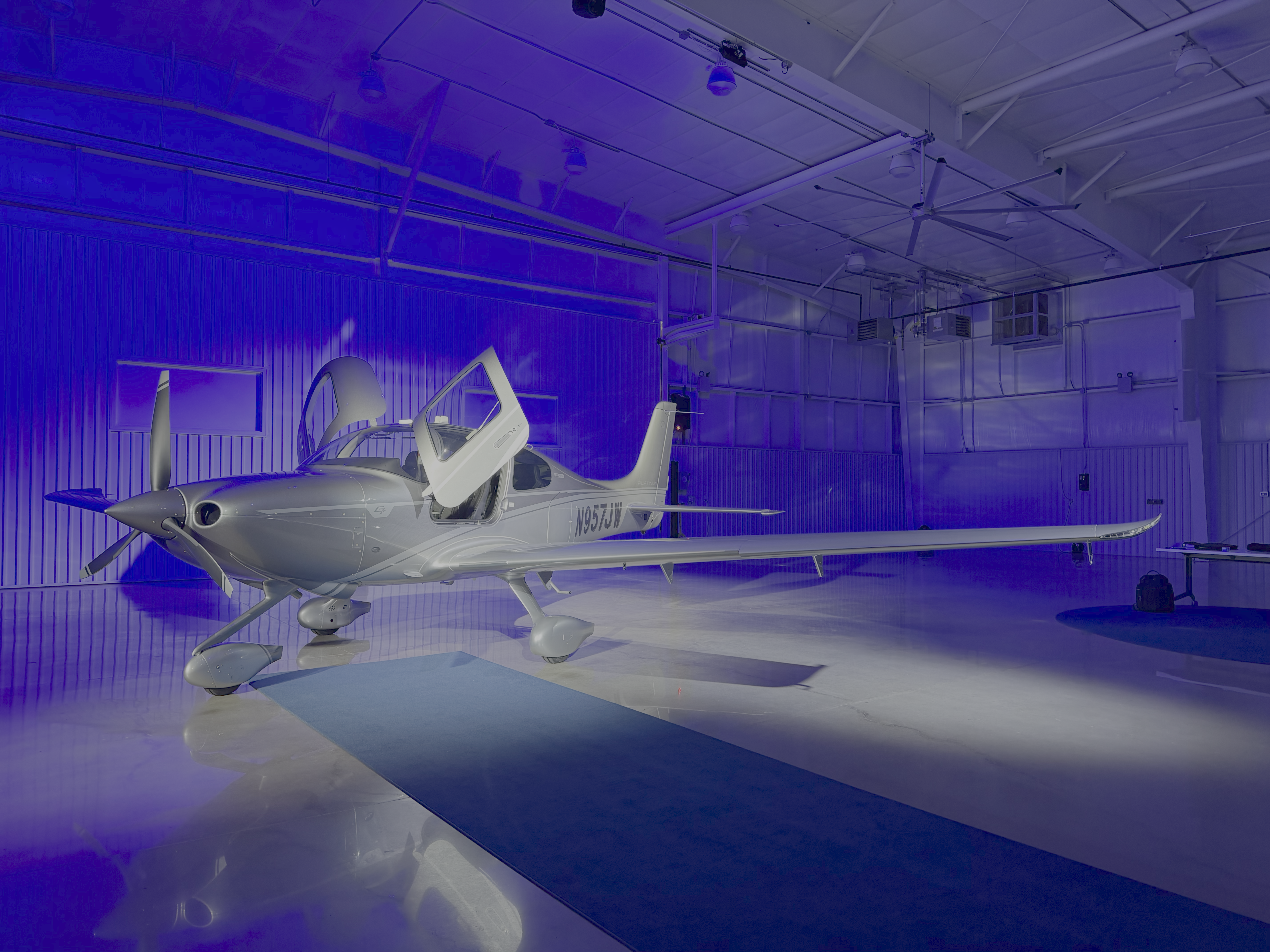
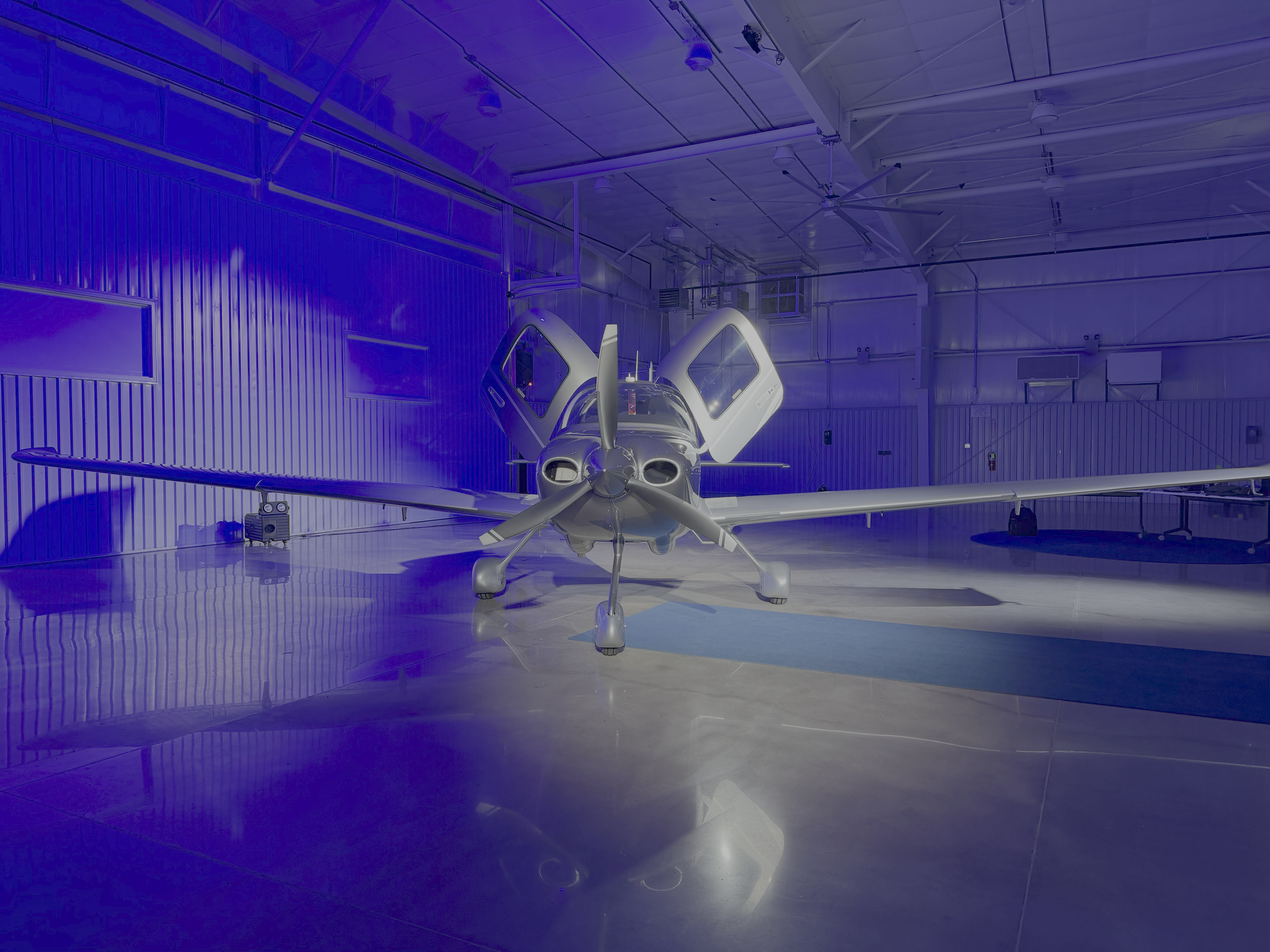
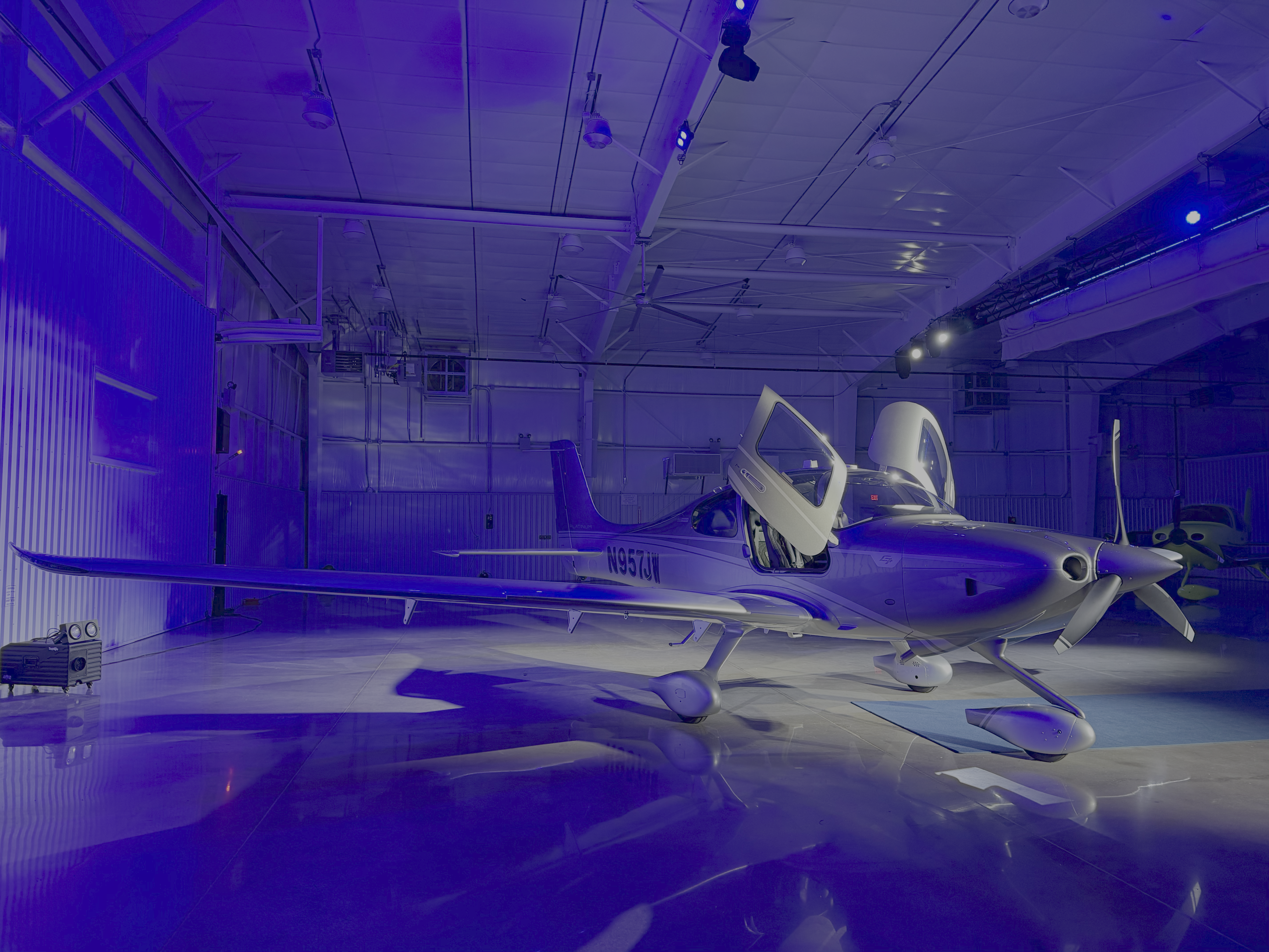
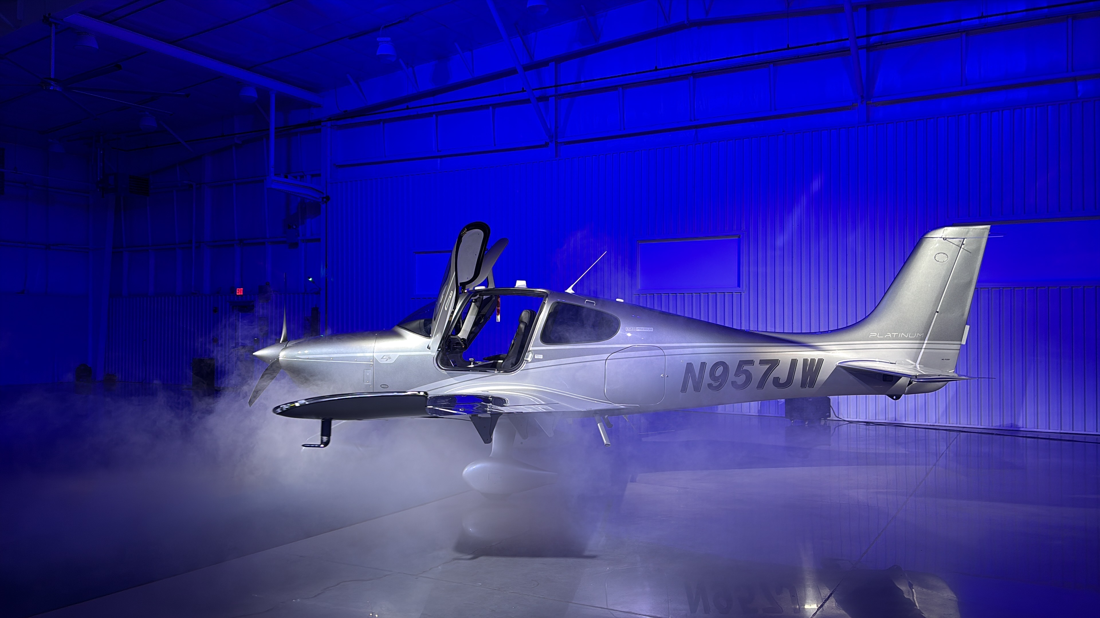
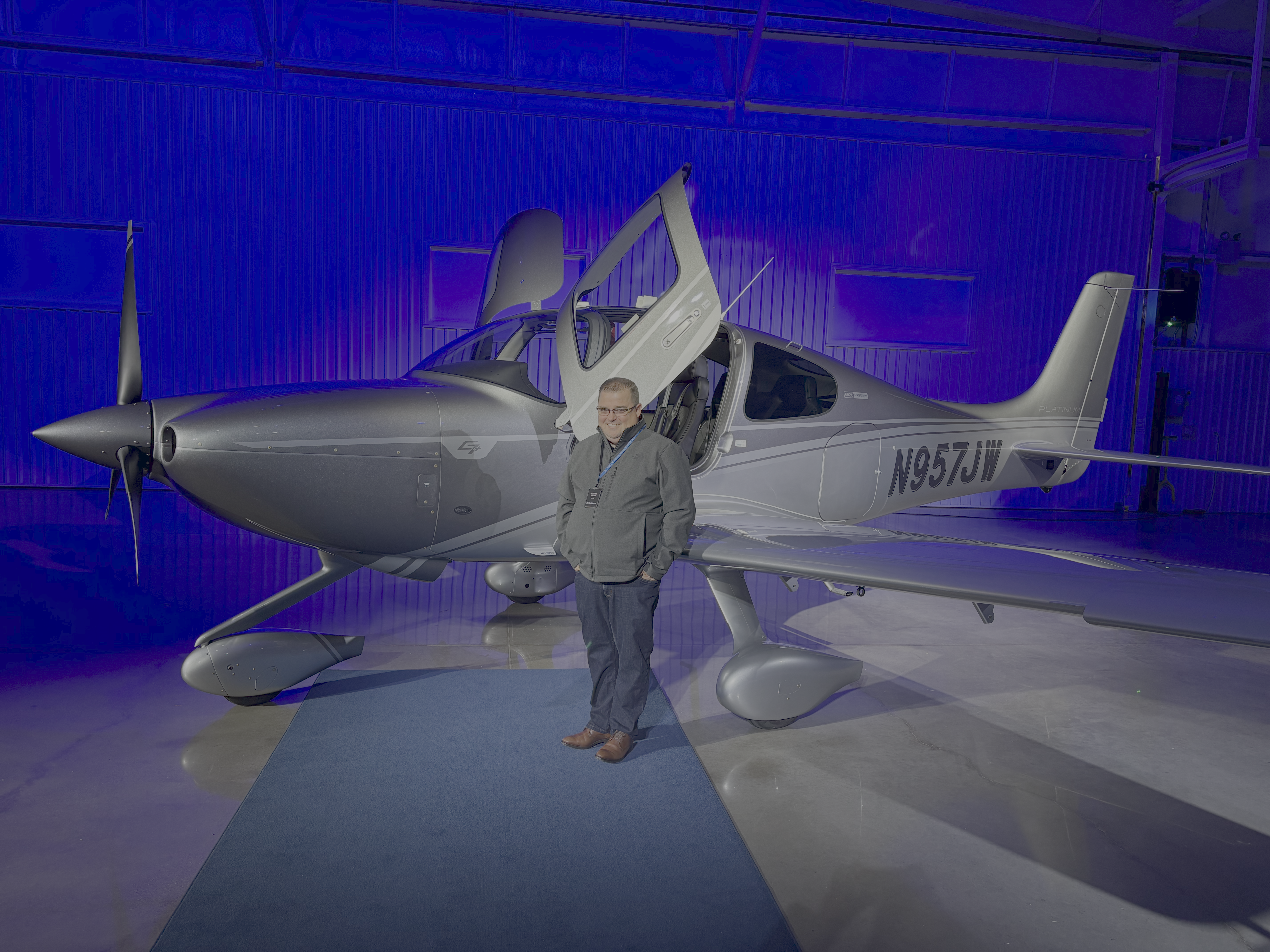
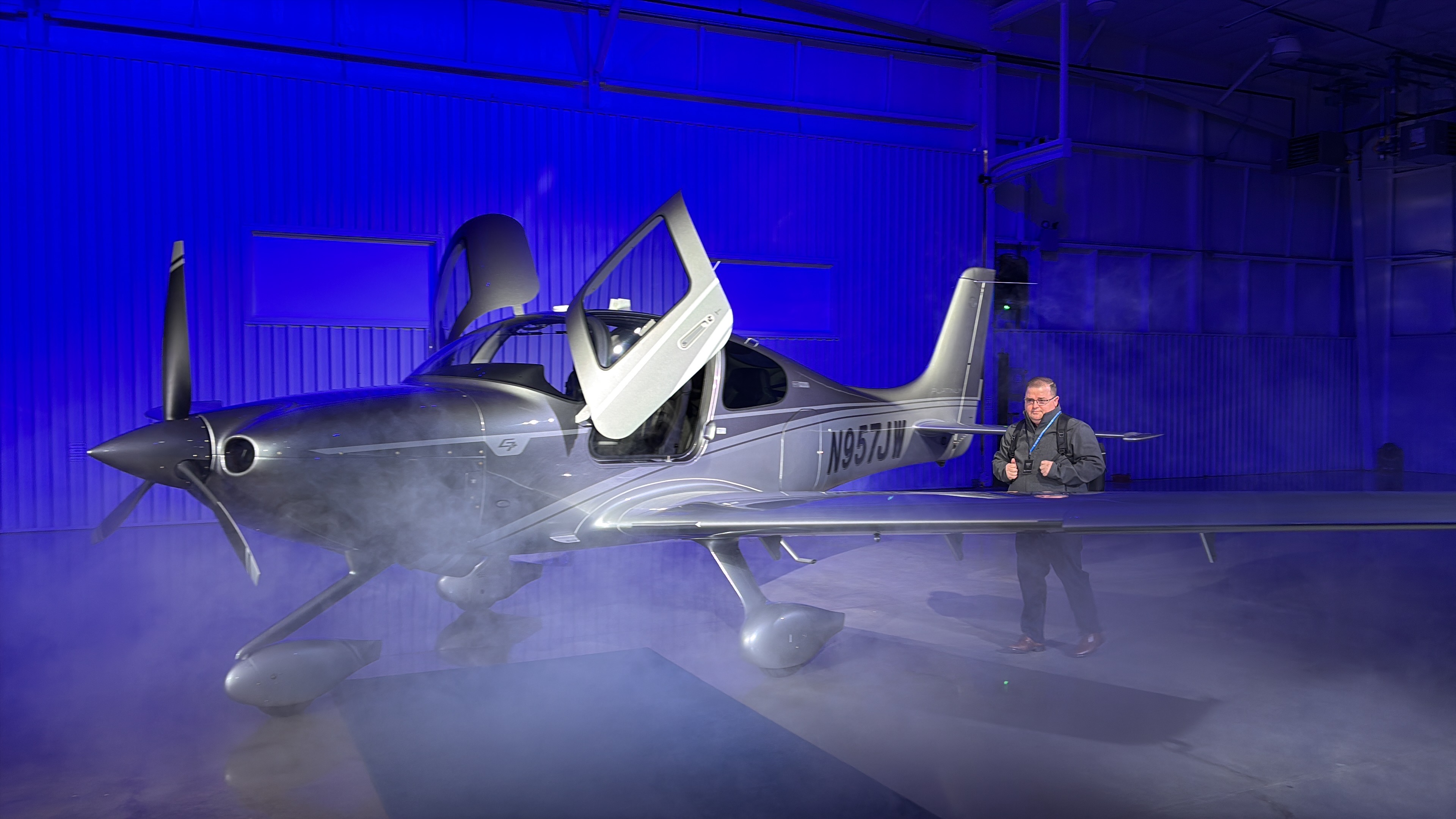
Cirrus SR20 G7+ Delivery (March 2026)
Trip back to Napa County Airport (KAPC) - Proposed
Trip back to Napa County Airport (KAPC) - Actual
Diary
2026-03-18: KTYS to KTYS (Acceptance Flight)
The maiden voyage in N957JW consisted of one lap in the pattern at KTYS with Rob Spicer (Cirrus Aircraft). Spent some time in the runup area reviewing the avionics differences between Garmin Perspective+ and Garmin Perspective Touch+. We advised KTYS ground that we were a Cirrus delivery acceptance flight and requested a departure and ILS approach to full stop landing. KTYS ground requested we climb to 3,000' and make our approach request with Knoxville Approach (123.9). Once we departed and were handed off to Knoxville Approach we requested to fly the ILS RWY 23R approach, and were provided with vectors to join the approach just prior to the HIGAR intermediate approach fix. The landing was fine, but not great. The Cirrus delivery pilot mentioned the sight picture was slightly different between the G6 and G7+ aircraft, so maybe that had something to do with it. Lots more practice coming over the next 5 days.
- Departure: KTYS (Knoxville, TN), field elevation: 987'
- Arrival: KTYS (Knoxville, TN), field elevation: 987'
- Hobbs Time: 0.9 hours
- Highest Flight Altitude: 3,000'
- Date/Time: 2026-03-18, 12:51PM to 1:07PM (EDT)
- Instructor: Rob Spicer
- FlightRadar24 Track Log
2026-03-19: KTYS to KCSV to KRKW to KTYS (Training)
Departed KTYS at around 9:50am to the Crossville Memorial-Whitson Field (KCSV) for maneuver practice in the practice area there, instrument approach practice, and landing practice. As we approached the area of KCSV, we flew over KCSV and then to a nearby area to practice steep turns (1x left, 1x right), slow flight with turns, and a power off stall. Afterwards, we setup for the RNAV (GPS) RWY 26 approach into KCSV to a full stop landing. Taxi'd back to RWY 26, and then practiced 2x normal touch-and-go landings. On the second landing, we departed the area straight out, then headed for the Rockwood Municipal Airport (KRKW) for an RNAV (GPS) RWY 04 approach to the published missed approach. Once on the missed approach, we diverted back to KTYS, and flew the ILS RWY 23R approach to a full stop landing. The rest of the day consisted of 1 hour in an SR22T simulator practicing 2x CAPS pulls and some emergency/abnormal situations. Also had the Cirrus Field Service Briefing today, which was given by Danny Monahan.
- Departure: KTYS (Knoxville, TN), field elevation: 987'
- Destination 1: KCSV (Crossville, TN), field elevation: 1,882'
- Destination 2: KRKW (Rockwood, TN), field elevation: 1,664'
- Arrival: KTYS (Knoxville, TN), field elevation: 987'
- Hobbs Time: 2.9 hours
- Highest Flight Altitude: 5,500'
- Date/Time: 2026-03-19, 9:50AM to 12:02PM (EDT)
- Instructor: Marcel Condray
- Fuel: $x.yy per gallon @ KTYS
- ForeFlight Track Log
2026-03-20: KTYS to KJFZ to KLWB (Training)
Departed KTYS with VFR flight following around 9:15am to KJFZ (Tazewell County Airport). Entered the following route to KJFZ into the flight plan: VXV V466 FARLI HILTO GZG, and flew a hold at GZG. Once we made it to the general area of KJFZ, we setup to fly the LOC/DME RWY 25 approach to the published missed approach. Flew the full hold starting at STACY, then setup the flight plan for KLWB (Greenbrier Valley Airport). Ultimately got vectors from ATC to fly the RNAV (GPS) RWY 22 practice approach with a course reversal to a full stop landing. Ate lunch at the Mi Tequila Mexican Restaurant.
- Departure: KTYS (Knoxville, TN), field elevation: 987'
- Destination: KJFZ (Richlands, Virginia), field elevation: 2,653'
- Arrival: KLWB (Lewisburg, West Virginia), field elevation: 2,302'
- Hobbs Time: 2.7 hours
- Highest Flight Altitude: 5,500'
- Approach 1: LOC/DME RWY 25 @ KJFZ
- Approach 2: RNAV (GPS) RWY 22 @ KLWB
- Date/Time: 2026-03-20, 9:15AM to 11:55PM (EDT)
- Instructor: Marcel Condray
- Fuel: $7.49 per gallon @ KLWB for 28 gallons = $209.72
- ForeFlight Track Log


2026-03-20: KLWB to KLNP to KTYS (Training)
Departed KLWB with VFR flight following around 2:305pm to the KLNP (Lonesome Pine Airport) for an instrument approach. Flew the RNAV (GPS) RWY 06, circle RWY 24 approach at KLNP to a full stop landing. Taxi'd back and departed for Knoxville, TN. Flew the ILS RWY 23R approach to a full stop landing.
- Departure: KLWB (Lewisburg, West Virginia), field elevation: 2,302'
- Destination: KLNP (Wise, Virginia), field elevation: 2,685'
- Arrival: KTYS (Knoxville, TN), field elevation: 987'
- Hobbs Time: 2.8 hours
- Highest Flight Altitude: 6,500'
- Approach 1: RNAV (GPS) RWY 06 @ KLNP
- Approach 2: ILS RWY 32R @ KTYS
- Date/Time: 2026-03-20, 2:35PM to 4:42PM (EDT)
- Instructor: Marcel Condray
- Fuel: $x.xx per gallon @ KTYS
- ForeFlight Track Log

2026-03-21: KTYS to KSCX to KTYS (Training)
Departed KTYS with VFR flight following around 9:27am to Oneida, TN to practice manuevers near KSCX (Scott Municipal Airport).
Practiced maneuvers for the BFR and Cirrus G7+ Differences course, which included steep turns, slow flight, and power off stall recovery.
Upon completing the maneuvers, headed to KSCK and flew the RNAV (GPS) RWY 05, circle RWY 23 approach to a published missed approach.
On the RNAV (GPS) RWY 05 missed approach, setup for the RNAV (GPS) RWY 23 approach back into KSCX and landed to a full stop.
After landing at KSCX for the last time, we departed for Knoxville, TN and flew a visual approach RWY 23R to a full stop landing.
On the way back to KTYS, I was noodling around with the menu system, specifically the standby flight plans, and was able to get GTC1 to reboot mid-flight.
Intention was to land at KTYS, eat lunch, then depart and finish up the BFR and IPC. However, we decided to cancel the flight after lunch, and
have N957JW reviewed by maintenance to see if they could ascertain why the GTC1 rebooted. The maintenance folks eventually found a pin that was recessed
and not making connection when its corresponding cable was plugged in fully. Completed remainder of the flight training in a Cirrus SR2x flight simulator.
- Departure: KTYS (Knoxville, TN), field elevation: 987'
- Destination: KSCX (Oneida, TN), field elevation: 1,545'
- Arrival: KTYS (Knoxville, TN), field elevation: 987'
- Hobbs Time: 2.7 hours
- Highest Flight Altitude: 8,500'
- Approach 1: RNAV (GPS) RWY 05, circle RWY 23 @ KSCX
- Approach 2: RNAV (GPS) RWY 23 @ KSCX
- Date/Time: 2026-03-21, 9:27AM to 11:38AM (EDT)
- Instructor: Marcel Condray
- ForeFlight Track Log
2026-03-22: KTYS to KMEM
Since N957JW was in the maintenance hangar for the avionics inspection, the maintenance folks went ahead and performed my 25 hour service.
They almost had to order a part that would have taken a couple of days to be delivered, but one of the maintenance folks used to work on
avionics and was able to repair the connector pin and cable. That meant that I was able to depart around 3:10pm for Memphis, TN.
When I got the call from maintenance that N957JW would be ready early, I was at the movies just starting to watch Project Hail Mary, but
I was able to get a refund for my ticket and Uber'd back to the Hilton Knoxville to hastily pack and head over to the Cirrus Vision Center.
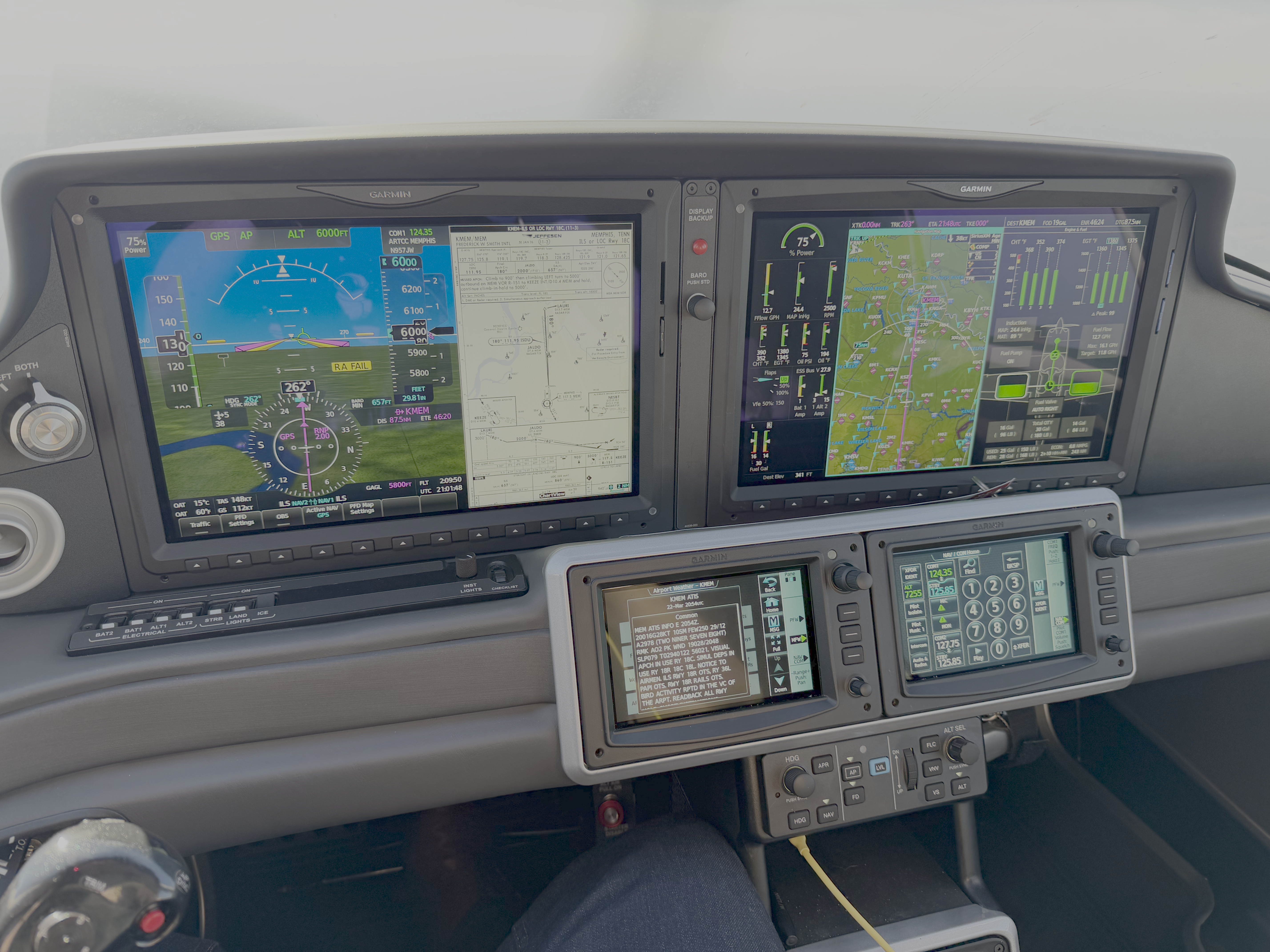
I departed on an IFR flight plan at 8,000' for KMEM, but after flying through a cloud layer, I requested to descend to 6,000'. I had
a bit of a headwind and it was a bit bumpy at times. Requested vectors for the ILS RWY 18C approach with vectors, but I was denied and
Memphis Approach told me to fly the Visual 18C. Configured my flight plan for a Visual 18C approach on HDG mode, and activated vectors to final.
As Memphis Approach vectored me around, eventually they had me on a 210 HDG to intersect the final approach leg.
I pressed NAV mode to put it into standby, then when cleared for the visual approach I pressed the APR key and N957JW turned onto the final approach segment as expected.
Not sure how much of the Hobbs time is for the maintenance that was performed at KTYS Cirrus Factory Service center.
- Departure: KTYS (Knoxville, TN), field elevation: 987'
- Arrival: KMEM (Memphis, TN), field elevation: 341'
- Hobbs Time: 3.9 hours
- Highest Flight Altitude: 8,000'
- Approach: Visual RWY 18C
- Date/Time: 2022-05-27, 3:12PM (EDT) to 4:56PM (CDT)
- Fuel: $6.839 per gallon @ KMEM for 40 gallons = $293.00
- ForeFlight Track Log


Cross Country Flight Statistics
- Total Cross Country Hobbs Time: xx.x hours
- Total Cross Country Flight (Tach) Time: xx.x hours
- Total Quarts of Oil Used: x